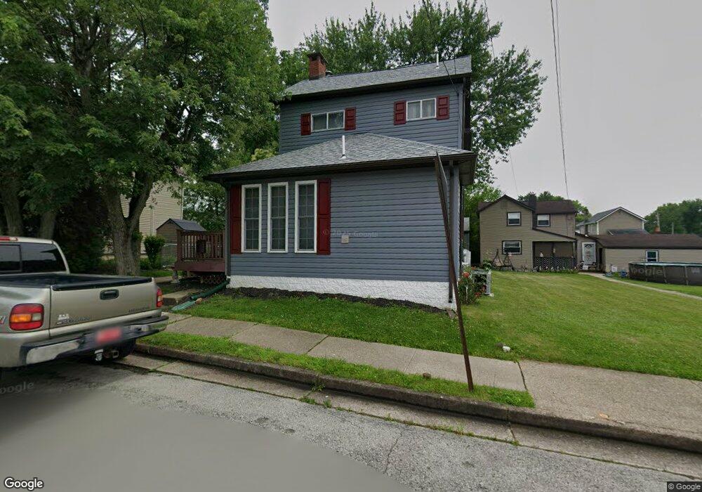
220 Avenue A Latrobe, PA 15650
Estimated Value: $161,000 - $187,131
--
Bed
--
Bath
1,520
Sq Ft
$114/Sq Ft
Est. Value
About This Home
This home is located at 220 Avenue A, Latrobe, PA 15650 and is currently estimated at $172,533, approximately $113 per square foot. 220 Avenue A is a home located in Westmoreland County with nearby schools including Greater Latrobe Junior High School, Greater Latrobe Senior High School, and Christ the Divine Teacher School.
Ownership History
Date
Name
Owned For
Owner Type
Purchase Details
Closed on
Jan 15, 2025
Sold by
Erb Nellie G and Erb Jeffrey L
Bought by
Cook Baylee and Cook Samuel
Current Estimated Value
Purchase Details
Closed on
Apr 24, 2008
Sold by
Erb Harry E and Erb Nellie G
Bought by
Erb Harry E and Erb Nellie G
Purchase Details
Closed on
Mar 10, 2003
Sold by
Erb Harry E and Erb Nellie
Bought by
Erb Harry E and Erb Nellie G
Create a Home Valuation Report for This Property
The Home Valuation Report is an in-depth analysis detailing your home's value as well as a comparison with similar homes in the area
Home Values in the Area
Average Home Value in this Area
Purchase History
| Date | Buyer | Sale Price | Title Company |
|---|---|---|---|
| Cook Baylee | $176,000 | None Listed On Document | |
| Erb Harry E | -- | None Available | |
| Erb Harry E | -- | -- |
Source: Public Records
Tax History Compared to Growth
Tax History
| Year | Tax Paid | Tax Assessment Tax Assessment Total Assessment is a certain percentage of the fair market value that is determined by local assessors to be the total taxable value of land and additions on the property. | Land | Improvement |
|---|---|---|---|---|
| 2025 | $1,583 | $11,470 | $1,600 | $9,870 |
| 2024 | $1,583 | $11,470 | $1,600 | $9,870 |
| 2023 | $1,468 | $11,470 | $1,600 | $9,870 |
| 2022 | $1,468 | $11,470 | $1,600 | $9,870 |
| 2021 | $1,457 | $11,470 | $1,600 | $9,870 |
| 2020 | $1,437 | $11,470 | $1,600 | $9,870 |
| 2019 | $1,419 | $11,470 | $1,600 | $9,870 |
| 2018 | $1,414 | $11,470 | $1,600 | $9,870 |
| 2017 | $1,394 | $11,470 | $1,600 | $9,870 |
| 2016 | $1,382 | $11,470 | $1,600 | $9,870 |
| 2015 | $1,382 | $11,470 | $1,600 | $9,870 |
| 2014 | -- | $11,470 | $1,600 | $9,870 |
Source: Public Records
Map
Nearby Homes
- 201 Avenue B
- 37 Avenue A
- 14 E Madison St
- 2713 Wilson St
- 221 James St
- 1607 Ligonier St
- 1937 Raymond Ave
- 1748 Dailey Ave
- 121 Irving Ave
- 214 Irving Ave
- 2023 Sylvan Ave
- 4767 State Route 982
- 1505 Raymond Ave
- 701 Fairmont St
- 213 Chestnut St
- 1300 Ridge Ave
- 1 Bankie Dr
- 1525 Latrobe St
- 1213 W Fir Dr
- 410 Smith St