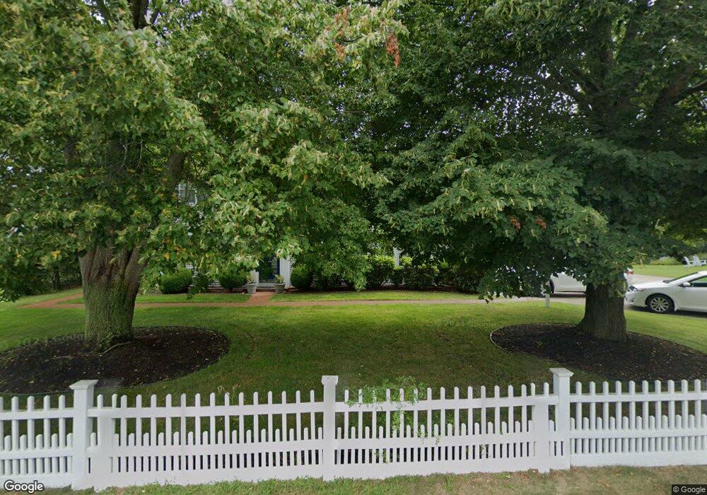
220 Bridge Rd Eastham, MA 2642
Estimated Value: $2,735,395
Studio
--
Bath
12,142
Sq Ft
$225/Sq Ft
Est. Value
About This Home
This home is located at 220 Bridge Rd, Eastham, MA 2642 and is currently estimated at $2,735,395, approximately $225 per square foot. 220 Bridge Rd is a home located in Barnstable County with nearby schools including Eastham Elementary School, Nauset Regional Middle School, and Nauset Regional High School.
Ownership History
Date
Name
Owned For
Owner Type
Purchase Details
Closed on
Apr 27, 2018
Sold by
Kevin J & E A Colnlin Re
Bought by
Tandem Ride Llc
Current Estimated Value
Purchase Details
Closed on
Apr 19, 2001
Sold by
Whalewalk Inn Rt and Smith Richard C
Bought by
Kj & Ea Conlin Ret and Conlin Kevin J
Home Financials for this Owner
Home Financials are based on the most recent Mortgage that was taken out on this home.
Original Mortgage
$1,050,000
Interest Rate
6.9%
Mortgage Type
Commercial
Create a Home Valuation Report for This Property
The Home Valuation Report is an in-depth analysis detailing your home's value as well as a comparison with similar homes in the area
Home Values in the Area
Average Home Value in this Area
Purchase History
| Date | Buyer | Sale Price | Title Company |
|---|---|---|---|
| Tandem Ride Llc | $1,650,000 | -- | |
| Kj & Ea Conlin Ret | $1,585,000 | -- |
Source: Public Records
Mortgage History
| Date | Status | Borrower | Loan Amount |
|---|---|---|---|
| Previous Owner | Kj & Ea Conlin Ret | $568,000 | |
| Previous Owner | Kj & Ea Conlin Ret | $1,050,000 | |
| Previous Owner | Kj & Ea Conlin Ret | $50,000 | |
| Closed | Kj & Ea Conlin Ret | $550,000 |
Source: Public Records
Tax History
| Year | Tax Paid | Tax Assessment Tax Assessment Total Assessment is a certain percentage of the fair market value that is determined by local assessors to be the total taxable value of land and additions on the property. | Land | Improvement |
|---|---|---|---|---|
| 2025 | $14,875 | $1,929,300 | $596,600 | $1,332,700 |
| 2024 | $13,365 | $1,906,600 | $579,200 | $1,327,400 |
| 2023 | $13,191 | $1,822,000 | $564,100 | $1,257,900 |
| 2022 | $14,037 | $1,636,000 | $503,400 | $1,132,600 |
| 2021 | $14,474 | $1,576,700 | $488,900 | $1,087,800 |
| 2020 | $14,310 | $1,641,000 | $498,900 | $1,142,100 |
| 2019 | $4,663 | $2,319,200 | $592,100 | $1,727,100 |
| 2018 | $4,733 | $2,348,800 | $574,800 | $1,774,000 |
| 2017 | $18,619 | $2,356,800 | $565,400 | $1,791,400 |
| 2016 | $17,487 | $2,350,400 | $561,200 | $1,789,200 |
| 2015 | $16,559 | $2,332,300 | $555,600 | $1,776,700 |
Source: Public Records
Map
Nearby Homes
- 181 Rock Harbor Rd
- 188 Rock Harbor Rd
- 339 Dyer Prince Rd
- 40 Bayview Rd
- 2 Reilly Run
- 32 Locust Rd
- 6 Penny Ln
- 3 Reilly Run
- 320 State Hwy
- 6 Defiance Ln
- 20 Namskaket Rd
- 13 S Orleans Rd Unit 28
- 10 Cartway N
- 17 Kings Way
- 36 Old Colony Way Unit 21
- 36 Old Colony Way Unit 3022
- 42 Old Colony Way Unit 15
- 42 Old Colony Way Unit 29
- 42 Old Colony Way Unit 5
- 42 Old Colony Way Unit 30
- 280 Bridge Rd
- 225 Bridge Rd
- 120 Bridge Rd
- 155 Bridge Rd
- 255 Bridge Rd
- 10 Elisabeth Dr
- 0 Elisabeth Dr
- 105 Bridge Rd
- 385 Bridge Rd
- 320 Bridge
- 70 Bridge Rd
- 420 Bridge Rd
- 80 Goody Hallett Dr
- 80 Goody Hallet Dr
- 85 Bridge Rd
- 485 Bridge Rd
- 20 Elisabeth Dr
- 30 Elisabeth Dr
- 145 Goody Hallet Dr
- 145 Goody Hallet Dr
Your Personal Tour Guide
Ask me questions while you tour the home.