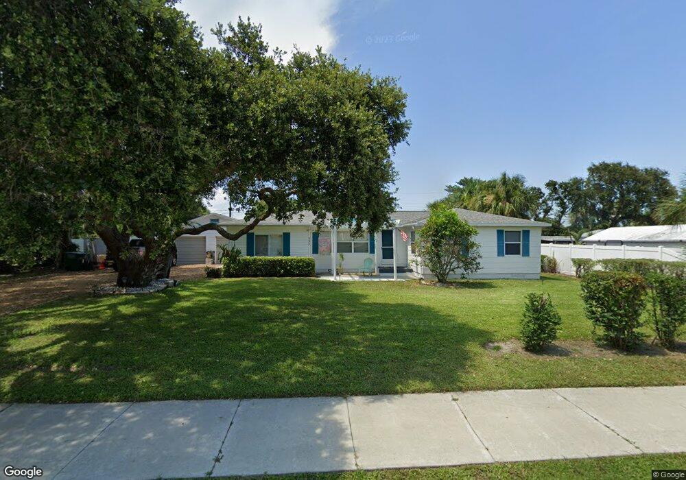
220 Buchanan Ave Cape Canaveral, FL 32920
Estimated Value: $498,000 - $624,000
2
Beds
2
Baths
1,300
Sq Ft
$431/Sq Ft
Est. Value
About This Home
This home is located at 220 Buchanan Ave, Cape Canaveral, FL 32920 and is currently estimated at $559,912, approximately $430 per square foot. 220 Buchanan Ave is a home located in Brevard County with nearby schools including Cape View Elementary School, Cocoa Beach Junior/Senior High School, and Our Saviour School.
Ownership History
Date
Name
Owned For
Owner Type
Purchase Details
Closed on
Dec 4, 2003
Sold by
Pointek Stanley G and Pointek Lynn S
Bought by
Vicidomini Alfonso and Vicidomini Eileen
Current Estimated Value
Home Financials for this Owner
Home Financials are based on the most recent Mortgage that was taken out on this home.
Original Mortgage
$155,000
Outstanding Balance
$72,776
Interest Rate
6.07%
Estimated Equity
$487,136
Create a Home Valuation Report for This Property
The Home Valuation Report is an in-depth analysis detailing your home's value as well as a comparison with similar homes in the area
Home Values in the Area
Average Home Value in this Area
Purchase History
| Date | Buyer | Sale Price | Title Company |
|---|---|---|---|
| Vicidomini Alfonso | $185,000 | Title Security & Escrow Of C |
Source: Public Records
Mortgage History
| Date | Status | Borrower | Loan Amount |
|---|---|---|---|
| Open | Vicidomini Alfonso | $155,000 |
Source: Public Records
Tax History Compared to Growth
Tax History
| Year | Tax Paid | Tax Assessment Tax Assessment Total Assessment is a certain percentage of the fair market value that is determined by local assessors to be the total taxable value of land and additions on the property. | Land | Improvement |
|---|---|---|---|---|
| 2025 | $5,810 | $562,600 | -- | -- |
| 2024 | $5,501 | $586,120 | -- | -- |
| 2023 | $5,501 | $542,740 | $0 | $0 |
| 2022 | $4,460 | $464,200 | $0 | $0 |
| 2021 | $3,559 | $291,400 | $246,530 | $44,870 |
| 2020 | $3,269 | $257,820 | $210,900 | $46,920 |
| 2019 | $3,302 | $273,670 | $220,880 | $52,790 |
| 2018 | $3,130 | $252,460 | $193,800 | $58,660 |
| 2017 | $2,844 | $208,470 | $157,500 | $50,970 |
| 2016 | $2,472 | $167,380 | $135,000 | $32,380 |
| 2015 | $2,418 | $135,000 | $135,000 | $0 |
| 2014 | $2,060 | $114,200 | $96,000 | $18,200 |
Source: Public Records
Map
Nearby Homes
- 302 Lincoln Ave Unit 6
- 302 Lincoln Ave Unit 7
- 7101 Ridgewood Ave Unit 102
- 7101 Ridgewood Ave Unit 104
- 314 & 312 Lincoln Ave
- 110 Lincoln Ave
- 326 Pierce Ave
- 223 (Tbd) Johnson Ave
- 203 Taylor Ave Unit A & B
- 201 Taylor Ave Unit A & B
- 425 Buchanan Ave Unit 201
- 351 Taylor Ave Unit E5
- 351 Taylor Ave Unit E16
- 310 Taylor Ave Unit 2c1
- 350 Taylor Ave Unit B11
- 0 E Grant Ave
- 7301 Ridgewood Ave Unit D103 Or 602
- 7521 Magnolia Ave
- 504 Fillmore Ave Unit B16
- 410 Hayes Ave Unit 203
- 208 Buchanan Ave
- 7101 Orange Ave
- 209 Pierce Ave
- 209 Pierce Ave Unit D
- 209 Pierce Ave Unit C
- 209 Pierce Ave
- 209 Pierce Ave Unit A
- 209 Pierce Ave Unit B
- 209 Pierce-C
- 211 Pierce Ave
- 213 Pierce Ave Unit D
- 213 Pierce Ave Unit C
- 213 Pierce Ave Unit B
- 213 Pierce Ave Unit A
- 211 Pierce Ave Unit D
- 211 Pierce Ave Unit C
- 211 Pierce Ave Unit B
- 211 Pierce Ave Unit A
- 213 Pierce Ave
- 211 Pierce Ave