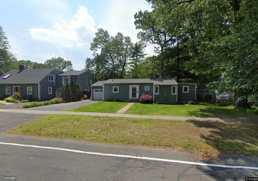
220 Burbank Rd Longmeadow, MA 01106
Estimated Value: $352,000 - $447,000
2
Beds
1
Bath
1,168
Sq Ft
$331/Sq Ft
Est. Value
About This Home
This home is located at 220 Burbank Rd, Longmeadow, MA 01106 and is currently estimated at $387,137, approximately $331 per square foot. 220 Burbank Rd is a home located in Hampden County with nearby schools including Blueberry Hill, Williams Middle School, and Longmeadow High School.
Ownership History
Date
Name
Owned For
Owner Type
Purchase Details
Closed on
Feb 28, 2001
Sold by
Bellerose Edward M
Bought by
Sobel Amy R
Current Estimated Value
Home Financials for this Owner
Home Financials are based on the most recent Mortgage that was taken out on this home.
Original Mortgage
$67,700
Outstanding Balance
$24,615
Interest Rate
7%
Mortgage Type
Purchase Money Mortgage
Estimated Equity
$362,522
Purchase Details
Closed on
Jan 28, 1998
Sold by
Nelson Nancy C and Nelson Claire G
Bought by
Bellerose Edward M
Home Financials for this Owner
Home Financials are based on the most recent Mortgage that was taken out on this home.
Original Mortgage
$84,000
Interest Rate
7.02%
Mortgage Type
Purchase Money Mortgage
Create a Home Valuation Report for This Property
The Home Valuation Report is an in-depth analysis detailing your home's value as well as a comparison with similar homes in the area
Home Values in the Area
Average Home Value in this Area
Purchase History
| Date | Buyer | Sale Price | Title Company |
|---|---|---|---|
| Sobel Amy R | $134,500 | -- | |
| Bellerose Edward M | $105,000 | -- |
Source: Public Records
Mortgage History
| Date | Status | Borrower | Loan Amount |
|---|---|---|---|
| Open | Bellerose Edward M | $67,700 | |
| Previous Owner | Bellerose Edward M | $8,000 | |
| Previous Owner | Bellerose Edward M | $8,500 | |
| Previous Owner | Bellerose Edward M | $84,000 |
Source: Public Records
Tax History
| Year | Tax Paid | Tax Assessment Tax Assessment Total Assessment is a certain percentage of the fair market value that is determined by local assessors to be the total taxable value of land and additions on the property. | Land | Improvement |
|---|---|---|---|---|
| 2025 | $6,059 | $286,900 | $150,800 | $136,100 |
| 2024 | $5,933 | $286,900 | $150,800 | $136,100 |
| 2023 | $5,824 | $254,100 | $129,800 | $124,300 |
| 2022 | $4,876 | $197,900 | $129,800 | $68,100 |
| 2021 | $4,673 | $188,900 | $123,600 | $65,300 |
| 2020 | $4,406 | $182,000 | $116,700 | $65,300 |
| 2019 | $4,365 | $181,200 | $116,700 | $64,500 |
| 2018 | $4,340 | $178,300 | $138,400 | $39,900 |
| 2017 | $4,204 | $178,300 | $138,400 | $39,900 |
| 2016 | $4,024 | $165,400 | $127,200 | $38,200 |
| 2015 | $3,916 | $165,800 | $126,000 | $39,800 |
Source: Public Records
Map
Nearby Homes
- 112 Grassy Gutter Rd
- 59 Lawrence Dr
- 170 Hopkins Place
- 124 Tecumseh Dr
- 642 Laurel St
- 83 Bliss Rd
- 55 Dover Rd
- 153 Porter Lake Dr Unit 153
- 32 Edgewood Ave
- 20 Kimberly Cir
- 64 Magnolia Cir
- 114 Park Dr
- 0 Dennis Rd
- 20 Jamestown Dr Unit B
- 1155 Dickinson St
- 40 Halifax Ct Unit D
- 53 Ashford Rd
- 55 Fernleaf Ave
- 330 Merriweather Dr
- 58 Englewood Rd
Your Personal Tour Guide
Ask me questions while you tour the home.