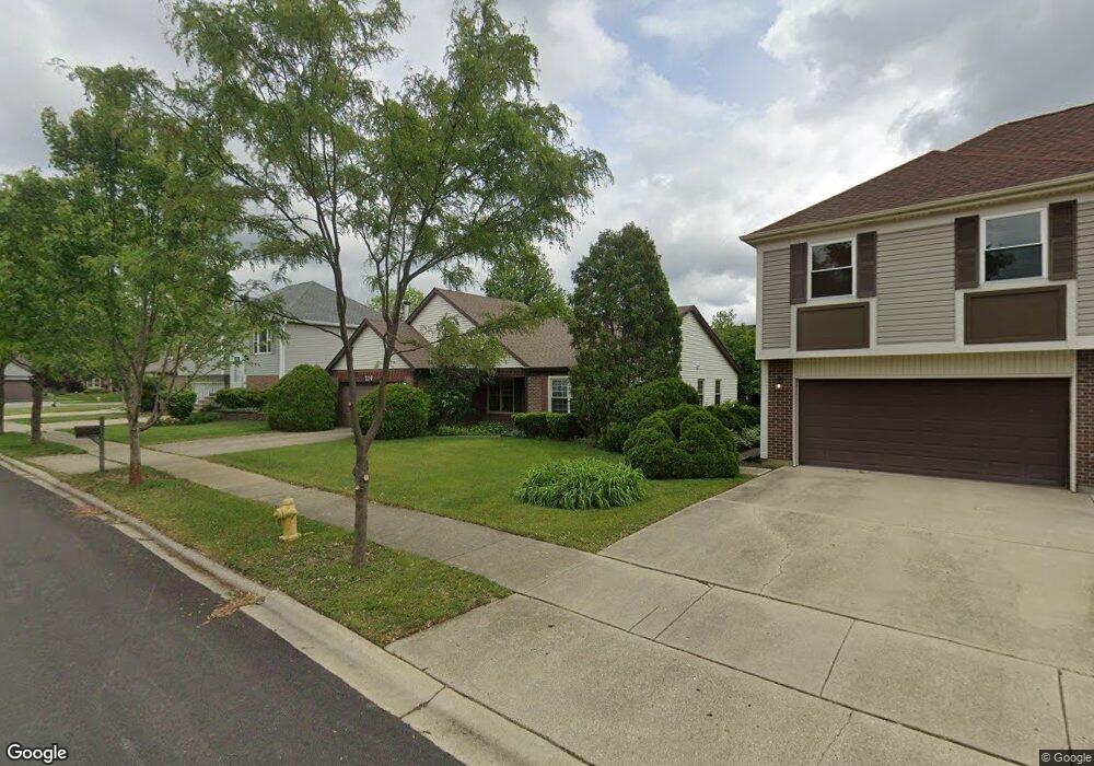
220 Campbell Dr Unit 11 Bolingbrook, IL 60440
Balstrode Park NeighborhoodEstimated Value: $294,085 - $328,000
3
Beds
--
Bath
1,382
Sq Ft
$227/Sq Ft
Est. Value
About This Home
This home is located at 220 Campbell Dr Unit 11, Bolingbrook, IL 60440 and is currently estimated at $314,021, approximately $227 per square foot. 220 Campbell Dr Unit 11 is a home located in Will County with nearby schools including Jamie Mcgee Elementary School, Jane Addams Middle School, and Brooks Middle School.
Ownership History
Date
Name
Owned For
Owner Type
Purchase Details
Closed on
Jul 17, 1996
Sold by
Rose Gary J and Rose Jill J
Bought by
Gentry Richard A
Current Estimated Value
Home Financials for this Owner
Home Financials are based on the most recent Mortgage that was taken out on this home.
Original Mortgage
$96,000
Outstanding Balance
$7,058
Interest Rate
8.43%
Estimated Equity
$306,963
Purchase Details
Closed on
Jul 17, 1991
Bought by
Gentry Richard A
Create a Home Valuation Report for This Property
The Home Valuation Report is an in-depth analysis detailing your home's value as well as a comparison with similar homes in the area
Home Values in the Area
Average Home Value in this Area
Purchase History
| Date | Buyer | Sale Price | Title Company |
|---|---|---|---|
| Gentry Richard A | $53,333 | -- | |
| Gentry Richard A | $105,000 | -- |
Source: Public Records
Mortgage History
| Date | Status | Borrower | Loan Amount |
|---|---|---|---|
| Open | Gentry Richard A | $96,000 |
Source: Public Records
Tax History Compared to Growth
Tax History
| Year | Tax Paid | Tax Assessment Tax Assessment Total Assessment is a certain percentage of the fair market value that is determined by local assessors to be the total taxable value of land and additions on the property. | Land | Improvement |
|---|---|---|---|---|
| 2024 | $7,068 | $84,532 | $18,399 | $66,133 |
| 2023 | $7,068 | $76,059 | $16,555 | $59,504 |
| 2022 | $6,185 | $68,571 | $14,925 | $53,646 |
| 2021 | $5,851 | $64,115 | $13,955 | $50,160 |
| 2020 | $5,665 | $62,007 | $13,496 | $48,511 |
| 2019 | $5,474 | $59,054 | $12,853 | $46,201 |
| 2018 | $5,247 | $56,522 | $12,302 | $44,220 |
| 2017 | $4,986 | $53,576 | $11,661 | $41,915 |
| 2016 | $4,833 | $51,000 | $11,100 | $39,900 |
| 2015 | $4,179 | $44,800 | $10,600 | $34,200 |
| 2014 | $4,179 | $44,800 | $10,600 | $34,200 |
| 2013 | $4,179 | $44,800 | $10,600 | $34,200 |
Source: Public Records
Map
Nearby Homes
- 141 Campbell Dr
- 156 Glen Lake Dr
- 11 Penny Ct
- 1031 Bothwell Cir
- 109 Commonwealth Dr
- 206 Christine Way Unit 2
- 284 Berkeley Dr Unit 1
- 140 Thackeray Dr
- 157 N Orchard Dr
- 4 Claridge Ct
- 267 Clarendon Ln Unit 1
- 1086 Lily Field Ln
- 353 Foster Way Unit 2
- 112 S Orchard Dr
- 1103 Lily Field Ln
- 20 Lily Ct
- VACANT W Boughton Rd
- 315 Clarendon Ln Unit 1
- 1170 Coventry Ln
- 238 Paddington Ln
- 224 Campbell Dr
- 216 Campbell Dr
- 209 Penny Ln
- 205 Penny Ln
- 212 Campbell Dr
- 228 Campbell Dr Unit 11
- 264 Commonwealth Dr
- 221 Campbell Dr
- 225 Campbell Dr
- 217 Campbell Dr
- 201 Penny Ln Unit 3
- 208 Campbell Dr
- 229 Campbell Dr
- 268 Commonwealth Dr Unit 1
- 213 Campbell Dr
- 228 Commonwealth Dr
- 197 Penny Ln
- 204 Campbell Dr
- 224 Commonwealth Dr Unit 11
- 257 Commonwealth Dr