220 Canal Dr Statesville, NC 28677
Estimated Value: $547,000
3
Beds
2
Baths
2,192
Sq Ft
$250/Sq Ft
Est. Value
About This Home
This home is located at 220 Canal Dr, Statesville, NC 28677 and is currently priced at $547,000, approximately $249 per square foot. 220 Canal Dr is a home located in Iredell County with nearby schools including Celeste Henkel Elementary School, West Iredell Middle School, and West Iredell High School.
Ownership History
Date
Name
Owned For
Owner Type
Purchase Details
Closed on
Mar 23, 2021
Sold by
Uren Ronald E and Uren Deborah C
Bought by
Uren Ronald E and Uren Deborah C
Current Estimated Value
Purchase Details
Closed on
Sep 26, 2016
Sold by
Pope Carlie Billy and Pope Sheri K
Bought by
Uren Ronald E and Uren Deborah C
Home Financials for this Owner
Home Financials are based on the most recent Mortgage that was taken out on this home.
Original Mortgage
$276,000
Outstanding Balance
$129,311
Interest Rate
3.45%
Mortgage Type
New Conventional
Purchase Details
Closed on
Oct 4, 2005
Sold by
Kastor Robert E
Bought by
Pope Carlie B and Pope Sheri K
Home Financials for this Owner
Home Financials are based on the most recent Mortgage that was taken out on this home.
Original Mortgage
$45,000
Interest Rate
5.72%
Mortgage Type
Fannie Mae Freddie Mac
Purchase Details
Closed on
Sep 1, 1997
Purchase Details
Closed on
Jun 1, 1985
Purchase Details
Closed on
Jun 1, 1974
Create a Home Valuation Report for This Property
The Home Valuation Report is an in-depth analysis detailing your home's value as well as a comparison with similar homes in the area
Home Values in the Area
Average Home Value in this Area
Purchase History
| Date | Buyer | Sale Price | Title Company |
|---|---|---|---|
| Uren Ronald E | -- | None Available | |
| Uren Ronald E | $345,000 | None Available | |
| Pope Carlie B | $225,000 | Chicago Title Insurance Comp | |
| -- | -- | -- | |
| -- | -- | -- | |
| -- | $11,000 | -- |
Source: Public Records
Mortgage History
| Date | Status | Borrower | Loan Amount |
|---|---|---|---|
| Open | Uren Ronald E | $276,000 | |
| Previous Owner | Pope Carlie B | $45,000 | |
| Previous Owner | Pope Carlie B | $50,000 |
Source: Public Records
Tax History Compared to Growth
Tax History
| Year | Tax Paid | Tax Assessment Tax Assessment Total Assessment is a certain percentage of the fair market value that is determined by local assessors to be the total taxable value of land and additions on the property. | Land | Improvement |
|---|---|---|---|---|
| 2021 | $1,847 | $285,400 | $146,250 | $139,150 |
| 2020 | $1,847 | $285,400 | $146,250 | $139,150 |
| 2019 | $1,818 | $285,400 | $146,250 | $139,150 |
| 2018 | $1,704 | $276,490 | $146,250 | $130,240 |
| 2017 | $1,704 | $276,490 | $146,250 | $130,240 |
| 2016 | $1,704 | $276,490 | $146,250 | $130,240 |
| 2015 | $1,704 | $276,490 | $146,250 | $130,240 |
| 2014 | $1,436 | $249,340 | $113,750 | $135,590 |
Source: Public Records
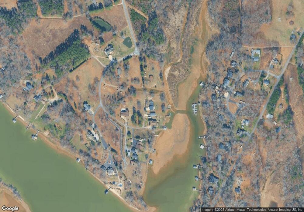
Map
Nearby Homes
- 0000 Canal Dr
- 0000 Upper Lake Dr
- 182 Canal Dr
- 125 Tangle River Dr Unit 51
- 1116 W Lewis Ferry Rd
- 123 High Shoals Ln Unit 19
- 221 Grayrock Dr
- Lot 1 Baxter Ln
- Lot 2 Baxter Ln
- 155 Windingwood Dr
- 227 Windingwood Dr
- 193 Windingwood Dr
- 105 Southern Horizon Dr
- 0000 Lauren Dr
- 141 Pounders Ridge Ln
- Lt 161 Windbluff Ct
- 122 Huntcliff Dr
- Colfax Plan at Peyton's Creek
- Avery Plan at Peyton's Creek
- McDowell Plan at Peyton's Creek
- 220 Canal Dr
- 216 Canal Dr
- 212 Canal Dr
- 199 Canal Dr
- 1161 Lewis Ferry Rd
- 210 Canal Dr
- 137 Canal Dr
- 1170 Lewis Ferry Rd
- 208 Canal Dr
- 110 Pope Huss Dr
- L11 Upper Lake Dr Unit 11
- 109 Pope Huss Dr
- 136 Lake Top Ln
- 140 Lake Top Ln
- 2034 Lake Top Ln
- L6&7 Upper Lake Dr
- L6&L7 Upper Lake Dr
- 130 Lake Top Ln
- 130 Lake Top Ln Unit 8
- 144 Lake Top Ln