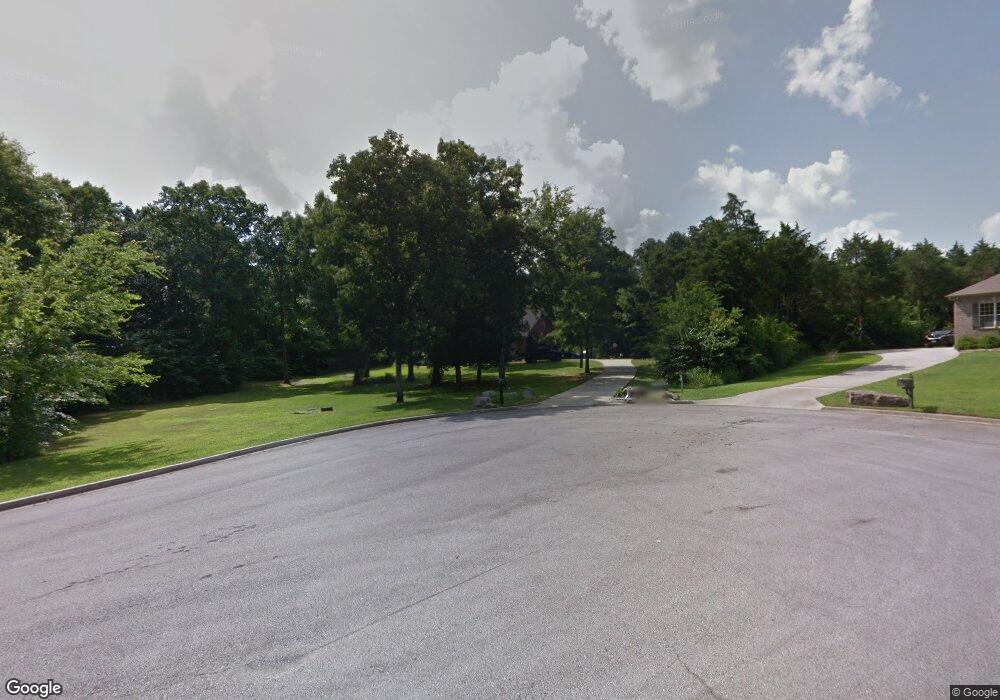
220 Cedar Trace Dr Hartselle, AL 35640
Estimated Value: $357,904 - $455,000
4
Beds
3
Baths
3,600
Sq Ft
$114/Sq Ft
Est. Value
About This Home
This home is located at 220 Cedar Trace Dr, Hartselle, AL 35640 and is currently estimated at $408,976, approximately $113 per square foot. 220 Cedar Trace Dr is a home located in Morgan County with nearby schools including Sparkman Elementary School and Albert P. Brewer High School.
Ownership History
Date
Name
Owned For
Owner Type
Purchase Details
Closed on
Dec 23, 2020
Sold by
Hopper Michael J and Hopper Michelle E
Bought by
Bunch Starla Jade
Current Estimated Value
Purchase Details
Closed on
May 22, 2008
Sold by
Housing Investors Inc
Bought by
Hopper Michael
Home Financials for this Owner
Home Financials are based on the most recent Mortgage that was taken out on this home.
Original Mortgage
$105,500
Interest Rate
5.84%
Mortgage Type
Unknown
Purchase Details
Closed on
Sep 21, 2007
Sold by
Glenwood Development Llc
Bought by
Hopper Michael J and Hopper Michelle E
Purchase Details
Closed on
Jul 2, 2007
Sold by
Cedar Development Inc
Bought by
Hopper Michael J and Hopper Michelle E
Create a Home Valuation Report for This Property
The Home Valuation Report is an in-depth analysis detailing your home's value as well as a comparison with similar homes in the area
Home Values in the Area
Average Home Value in this Area
Purchase History
| Date | Buyer | Sale Price | Title Company |
|---|---|---|---|
| Bunch Starla Jade | $232,000 | None Available | |
| Hopper Michael | -- | None Available | |
| Hopper Michael J | -- | None Available | |
| Hopper Michael J | -- | None Available |
Source: Public Records
Mortgage History
| Date | Status | Borrower | Loan Amount |
|---|---|---|---|
| Previous Owner | Hopper Michael | $105,500 |
Source: Public Records
Tax History Compared to Growth
Tax History
| Year | Tax Paid | Tax Assessment Tax Assessment Total Assessment is a certain percentage of the fair market value that is determined by local assessors to be the total taxable value of land and additions on the property. | Land | Improvement |
|---|---|---|---|---|
| 2024 | $1,091 | $31,300 | $4,120 | $27,180 |
| 2023 | $1,117 | $30,350 | $3,800 | $26,550 |
| 2022 | $1,018 | $28,630 | $3,460 | $25,170 |
| 2021 | $872 | $24,730 | $3,460 | $21,270 |
| 2020 | $869 | $44,840 | $3,460 | $41,380 |
| 2019 | $869 | $24,680 | $3,460 | $21,210 |
| 2015 | $812 | $23,140 | $0 | $0 |
| 2014 | $812 | $23,140 | $0 | $0 |
| 2013 | -- | $22,640 | $0 | $0 |
Source: Public Records
Map
Nearby Homes
- 450 N Cedar Cove Rd
- 0 Hobb Ward Rd Unit 21414136
- 12.8 acres Hobb Ward Rd
- 105 New Center Rd
- 659 Church Rd
- 199 Peach Tree Rd
- 1094 Perkins Wood Rd
- 10 Jack Thomas Ct
- 89 Lyle Cir
- 335 S Old Six Mile Rd
- 782 Wilson Mountain Rd
- 766 Key Turney Rd
- 271 Highway 36 E
- 11 Route 67
- 1 ACRE Highway 67 S
- 16.5 Route 67
- 4664 Route 67
- 815 Ronnie Dr SE
- 911 Ronnie Dr SE
- 909 Ronnie Dr SE
- 225 Cedar Trace Dr
- 221 Cedar Trace Dr
- 176 Cedar Trace Dr
- 185 Cedar Trace Dr
- 165 Cedar Trace Dr
- 154 Cedar Trace Dr
- 147 Cedar Trace Dr
- 126 Cedar Trace Dr
- 3 Lot Cedar Trace Dr
- Lot 19 Cedar Trace Dr
- Lot 14 Cedar Trace Dr
- Lot 3 Cedar Trace Dr
- 125 Cedar Trace Dr
- 106 Cedar Trace Dr
- Lot 1 Cedar Trace Dr
- LOT # 7 Cedar Trace Dr
- 95 Cedar Trace Dr
- 72 Cedar Trace Dr
- 51 Cedar Trace Dr
- 986 N Cedar Cove Rd
