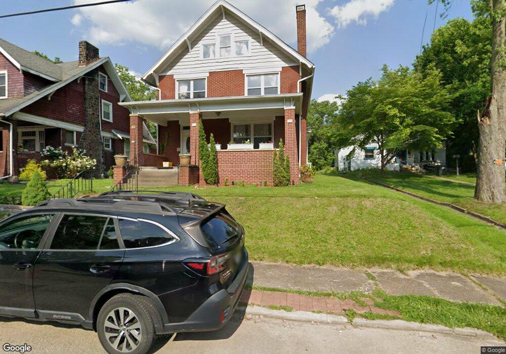
220 Charles Ave New Kensington, PA 15068
Estimated Value: $110,311 - $229,000
4
Beds
3
Baths
--
Sq Ft
10,019
Sq Ft Lot
About This Home
This home is located at 220 Charles Ave, New Kensington, PA 15068 and is currently estimated at $187,328. 220 Charles Ave is a home located in Westmoreland County with nearby schools including Mary Queen of Apostles School.
Ownership History
Date
Name
Owned For
Owner Type
Purchase Details
Closed on
Jul 15, 2011
Sold by
Ryan Donald Laben and Ryan Kimberly B
Bought by
Beter Elliot T
Current Estimated Value
Purchase Details
Closed on
Sep 29, 2010
Sold by
Fannie Mae
Bought by
Ryan Donald Laben
Purchase Details
Closed on
Sep 21, 2010
Sold by
Provident Funding Associates
Bought by
Fanniemae
Purchase Details
Closed on
May 28, 2010
Sold by
Manges Edgar L
Bought by
Provident Funding Group Inc
Purchase Details
Closed on
Feb 15, 2002
Sold by
Debor Welty A and Debor Cynthia L
Bought by
Manges Edgar L
Home Financials for this Owner
Home Financials are based on the most recent Mortgage that was taken out on this home.
Original Mortgage
$84,550
Interest Rate
7.08%
Create a Home Valuation Report for This Property
The Home Valuation Report is an in-depth analysis detailing your home's value as well as a comparison with similar homes in the area
Home Values in the Area
Average Home Value in this Area
Purchase History
| Date | Buyer | Sale Price | Title Company |
|---|---|---|---|
| Beter Elliot T | $142,000 | None Available | |
| Ryan Donald Laben | $39,000 | None Available | |
| Fanniemae | -- | None Available | |
| Provident Funding Group Inc | $1,863 | None Available | |
| Manges Edgar L | $89,000 | -- |
Source: Public Records
Mortgage History
| Date | Status | Borrower | Loan Amount |
|---|---|---|---|
| Previous Owner | Manges Edgar L | $84,550 |
Source: Public Records
Tax History Compared to Growth
Tax History
| Year | Tax Paid | Tax Assessment Tax Assessment Total Assessment is a certain percentage of the fair market value that is determined by local assessors to be the total taxable value of land and additions on the property. | Land | Improvement |
|---|---|---|---|---|
| 2025 | $4,216 | $26,410 | $4,880 | $21,530 |
| 2024 | $4,177 | $26,410 | $4,880 | $21,530 |
| 2023 | $3,953 | $26,410 | $4,880 | $21,530 |
| 2022 | $3,832 | $26,410 | $4,880 | $21,530 |
| 2021 | $3,745 | $26,410 | $4,880 | $21,530 |
| 2020 | $3,665 | $26,410 | $4,880 | $21,530 |
| 2019 | $3,573 | $26,410 | $4,880 | $21,530 |
| 2018 | $3,520 | $26,410 | $4,880 | $21,530 |
| 2017 | $3,467 | $26,410 | $4,880 | $21,530 |
| 2016 | $3,467 | $26,410 | $4,880 | $21,530 |
| 2015 | $3,467 | $26,410 | $4,880 | $21,530 |
| 2014 | $3,332 | $26,410 | $4,880 | $21,530 |
Source: Public Records
Map
Nearby Homes
- 486 McCargo St
- 327 Charles Ave
- 254 Ridge Ave
- 159 Freeport Rd
- 318 Ridge Ave
- 168 Short St
- Lots 12-14 Ross Ave
- 1025 Kenneth Ave
- 1117 Forest Ave
- 1134 Leishman Ave
- 1075 Martin Ave
- 1082 Martin Ave
- 1218 Woodmont Ave
- 533 Freeport Rd
- 201 Locust St
- 105 Locust St
- 512 Linden Ave
- 1216 Kenneth Ave
- 1233 Kenneth Ave
- 404 Argonne Dr
- 216 Charles Ave
- 224 Charles Ave
- 228 Charles Ave
- 212 Charles Ave
- 236 Charles Ave
- 208 Charles Ave
- 217 Charles Ave
- 211 Charles Ave
- 233 Charles Ave
- 240 Charles Ave
- 235 Charles Ave
- 209 Charles Ave
- 209 Charles Ave
- 207 Charles Ave
- 242 Charles Ave
- 204 Charles Ave
- 241 Charles Ave
- 205 Charles Ave
- 240 Highland Ave
- 248 Charles Ave