220 Collins Ln Corsicana, TX 75109
Estimated Value: $486,000 - $836,000
--
Bed
--
Bath
1,936
Sq Ft
$351/Sq Ft
Est. Value
About This Home
This home is located at 220 Collins Ln, Corsicana, TX 75109 and is currently estimated at $680,355, approximately $351 per square foot. 220 Collins Ln is a home located in Navarro County with nearby schools including Mildred Elementary School and Mildred High School.
Ownership History
Date
Name
Owned For
Owner Type
Purchase Details
Closed on
May 23, 2024
Sold by
Glen Nelson Sanders Trust and Franklin Laura S
Bought by
Laura S Franklin Trust and Franklin
Current Estimated Value
Purchase Details
Closed on
Apr 12, 2023
Sold by
Jackson John E
Bought by
Stone Garrett Alan
Purchase Details
Closed on
Mar 3, 2022
Sold by
Holman Cindy L
Bought by
Underwood Jereld
Create a Home Valuation Report for This Property
The Home Valuation Report is an in-depth analysis detailing your home's value as well as a comparison with similar homes in the area
Home Values in the Area
Average Home Value in this Area
Purchase History
| Date | Buyer | Sale Price | Title Company |
|---|---|---|---|
| Laura S Franklin Trust | -- | None Listed On Document | |
| Stone Garrett Alan | -- | None Listed On Document | |
| Underwood Jereld | -- | None Listed On Document |
Source: Public Records
Tax History Compared to Growth
Tax History
| Year | Tax Paid | Tax Assessment Tax Assessment Total Assessment is a certain percentage of the fair market value that is determined by local assessors to be the total taxable value of land and additions on the property. | Land | Improvement |
|---|---|---|---|---|
| 2025 | $9,895 | $642,150 | $325,130 | $317,020 |
| 2024 | $9,972 | $647,160 | $325,130 | $322,030 |
| 2023 | $8,215 | $577,060 | $325,130 | $544,660 |
| 2022 | $8,808 | $713,550 | $243,850 | $469,700 |
| 2021 | $9,276 | $526,960 | $243,850 | $283,110 |
| 2020 | $8,798 | $526,960 | $243,850 | $283,110 |
| 2019 | $8,441 | $394,140 | $122,500 | $271,640 |
| 2018 | $7,276 | $358,440 | $122,500 | $235,940 |
| 2017 | $7,264 | $358,440 | $122,500 | $235,940 |
| 2016 | $7,357 | $363,060 | $122,500 | $240,560 |
| 2015 | -- | $358,440 | $122,500 | $235,940 |
| 2014 | -- | $358,440 | $122,500 | $235,940 |
Source: Public Records
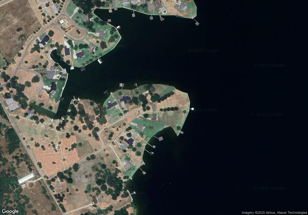
Map
Nearby Homes
- Lot 35 White Rock Rd
- Lot 2-R Moonlight Point
- 122 Moonlight Point
- 9900 Northshore Blvd Unit 3307
- 9900 Northshore Blvd Unit 3105
- 2 Acres +/- SE County Road 3186
- 0 Shady Ln
- Lot 618 Spur 294
- Lot 602 Clear Water Ct
- 3001 Rock Rd
- 1194 the Shores Dr
- Lot 326 the Shores Dr
- Lot 249 the Shores Dr
- 9820 S Us Highway 287
- 9820 Highway 287
- TBD Cowboy Dr
- 1140 the Shores Dr
- Lot 411 Sailboat Dr
- 110 SE Private Road 3178
- Lot 301 Cowboy Dr
- 220 Collins St
- 222 Collins St
- 218 Collins Ln
- 214 Collins Ln
- 211 Collins Ln
- 212 Collins Ln
- 210 Collins Ln
- 207 Collins Ln
- 208 Collins Ln
- 206 Collins Ln
- 205 Collins Ln
- 132 Bayview Cir Unit 18
- 132 Bayview Cir Unit 17
- 118 Bayview Cir
- 124 Bayview Cir
- 105 Crooked Ln
- L 18 Bayview Cir
- 472 White Rock Rd
- 470 White Rock Rd
- 121 Crooked Ln