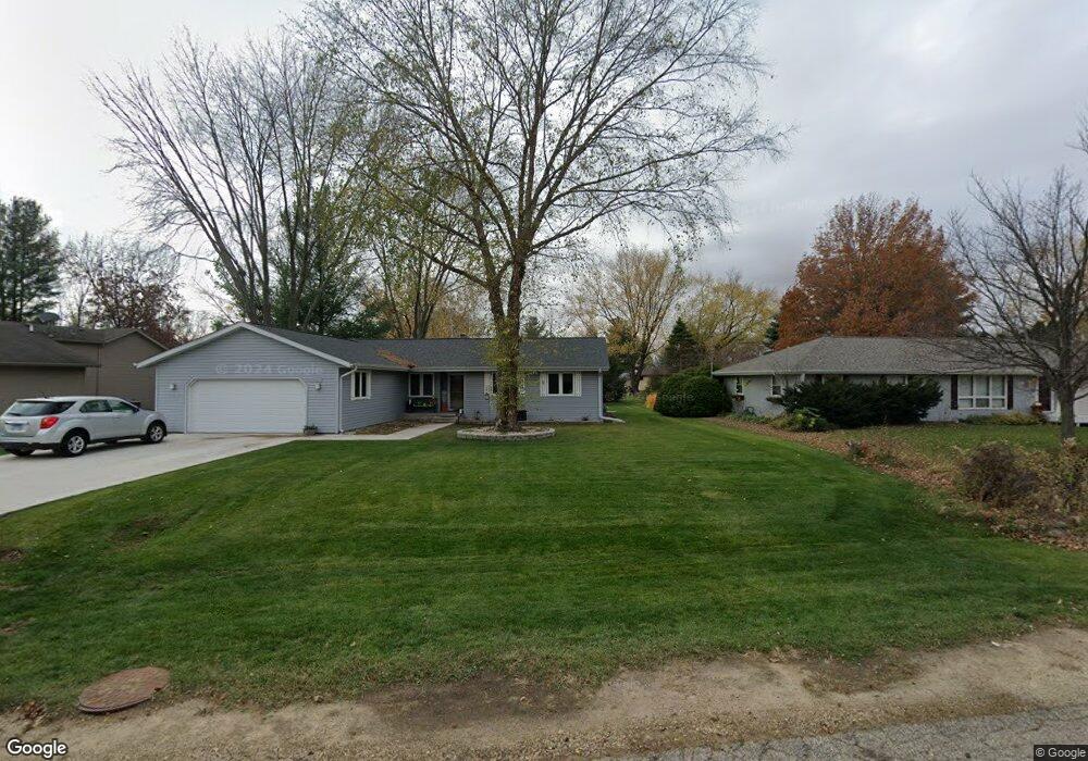
220 Cork Rd Rockton, IL 61072
Estimated Value: $226,834 - $276,000
3
Beds
--
Bath
1,459
Sq Ft
$175/Sq Ft
Est. Value
About This Home
This home is located at 220 Cork Rd, Rockton, IL 61072 and is currently estimated at $254,709, approximately $174 per square foot. 220 Cork Rd is a home located in Winnebago County with nearby schools including Rockton Elementary School, Whitman Post Elementary School, and Stephen Mack Middle School.
Ownership History
Date
Name
Owned For
Owner Type
Purchase Details
Closed on
May 15, 2018
Sold by
Fisher Sandra L
Bought by
Fisher Sandra L and Fisher Lyndon M
Current Estimated Value
Home Financials for this Owner
Home Financials are based on the most recent Mortgage that was taken out on this home.
Original Mortgage
$55,000
Outstanding Balance
$47,605
Interest Rate
4.63%
Mortgage Type
New Conventional
Estimated Equity
$207,104
Create a Home Valuation Report for This Property
The Home Valuation Report is an in-depth analysis detailing your home's value as well as a comparison with similar homes in the area
Home Values in the Area
Average Home Value in this Area
Purchase History
| Date | Buyer | Sale Price | Title Company |
|---|---|---|---|
| Fisher Sandra L | -- | Rosenberg Lpa |
Source: Public Records
Mortgage History
| Date | Status | Borrower | Loan Amount |
|---|---|---|---|
| Open | Fisher Sandra L | $55,000 |
Source: Public Records
Tax History
| Year | Tax Paid | Tax Assessment Tax Assessment Total Assessment is a certain percentage of the fair market value that is determined by local assessors to be the total taxable value of land and additions on the property. | Land | Improvement |
|---|---|---|---|---|
| 2024 | $4,156 | $62,281 | $12,297 | $49,984 |
| 2023 | $3,900 | $55,534 | $10,965 | $44,569 |
| 2022 | $3,652 | $50,734 | $10,017 | $40,717 |
| 2021 | $3,426 | $47,477 | $9,374 | $38,103 |
| 2020 | $3,353 | $45,969 | $9,076 | $36,893 |
| 2019 | $3,266 | $44,282 | $8,743 | $35,539 |
| 2018 | $3,632 | $46,540 | $8,947 | $37,593 |
| 2017 | $3,432 | $44,609 | $8,576 | $36,033 |
| 2016 | $3,745 | $43,147 | $8,295 | $34,852 |
| 2015 | $3,701 | $42,160 | $8,105 | $34,055 |
| 2014 | $3,636 | $42,160 | $8,105 | $34,055 |
Source: Public Records
Map
Nearby Homes
- 1075 Aldrin Rd
- 304 Bunn Dr
- 607 Queens Ct Unit 6607
- 537 Byrnes Dr
- 328 Harwich Place
- 611 Lanae Way
- 14049 Hanna Way
- 13802 Dorr Rd
- 127 W River St
- 417 N Prairie St
- 1XX W River St
- 1897 Wyndham Ln
- 217 W Franklin St
- 2096 Edge Rock Rd
- 0 School St
- 227 Foxfire Place
- 12715 Waltham Close
- 11891 Tresemer Rd
- 0000-03 Nautical Ct
- 0000-04 Nautical Ct
Your Personal Tour Guide
Ask me questions while you tour the home.