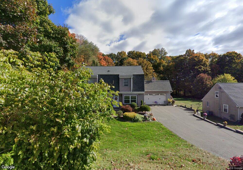
220 Curtiss St Southington, CT 06489
West Southington NeighborhoodEstimated Value: $386,000 - $503,000
3
Beds
2
Baths
1,953
Sq Ft
$227/Sq Ft
Est. Value
About This Home
This home is located at 220 Curtiss St, Southington, CT 06489 and is currently estimated at $442,632, approximately $226 per square foot. 220 Curtiss St is a home located in Hartford County with nearby schools including Reuben E. Thalberg Elementary School, Joseph A. Depaolo Middle School, and Southington High School.
Ownership History
Date
Name
Owned For
Owner Type
Purchase Details
Closed on
Mar 8, 1995
Sold by
Larose James R and Larose Sherri M
Bought by
Kolesnik John A and Kolesnik Cheryl L
Current Estimated Value
Create a Home Valuation Report for This Property
The Home Valuation Report is an in-depth analysis detailing your home's value as well as a comparison with similar homes in the area
Home Values in the Area
Average Home Value in this Area
Purchase History
| Date | Buyer | Sale Price | Title Company |
|---|---|---|---|
| Kolesnik John A | $132,000 | -- |
Source: Public Records
Mortgage History
| Date | Status | Borrower | Loan Amount |
|---|---|---|---|
| Open | Kolesnik John A | $160,000 | |
| Closed | Kolesnik John A | $25,000 | |
| Closed | Kolesnik John A | $163,000 |
Source: Public Records
Tax History
| Year | Tax Paid | Tax Assessment Tax Assessment Total Assessment is a certain percentage of the fair market value that is determined by local assessors to be the total taxable value of land and additions on the property. | Land | Improvement |
|---|---|---|---|---|
| 2025 | $6,732 | $202,700 | $64,750 | $137,950 |
| 2024 | $6,373 | $202,700 | $64,750 | $137,950 |
| 2023 | $6,154 | $202,700 | $64,750 | $137,950 |
| 2022 | $5,905 | $202,700 | $64,750 | $137,950 |
| 2021 | $5,884 | $202,700 | $64,750 | $137,950 |
| 2020 | $5,862 | $191,390 | $62,590 | $128,800 |
| 2019 | $5,864 | $191,390 | $62,590 | $128,800 |
| 2018 | $5,834 | $191,390 | $62,590 | $128,800 |
| 2017 | $5,834 | $191,390 | $62,590 | $128,800 |
| 2016 | $5,673 | $191,390 | $62,590 | $128,800 |
| 2015 | $5,588 | $191,780 | $59,610 | $132,170 |
| 2014 | $5,439 | $191,780 | $59,610 | $132,170 |
Source: Public Records
Map
Nearby Homes
- 76 Kane St
- 207 Lazy Ln Unit 11
- 25 Whippoorwill Rd
- 273 Queen St Unit 9C
- 500 Darling St Unit 12J
- 184 Hobart St
- 309 Russet Ln
- 285 Queen St Unit 10I
- 285 Queen St
- 285 Queen St Unit 4F
- 81 Laning St
- 100 Center St
- 554 Spring St
- 60 Marcy Dr
- 67 Dogwood Dr
- 28 Beecher St
- 15 Woodruff St
- 872 Glacier Way Unit 872
- 885 Glacier Way
- 46 John St
Your Personal Tour Guide
Ask me questions while you tour the home.