220 Denver Rd Branson, MO 65616
Estimated Value: $511,000 - $735,000
Studio
--
Bath
4,109
Sq Ft
$141/Sq Ft
Est. Value
About This Home
This home is located at 220 Denver Rd, Branson, MO 65616 and is currently estimated at $580,802, approximately $141 per square foot. 220 Denver Rd is a home located in Taney County with nearby schools including Buchanan Intermediate School, Buchanan Elementary School, and Branson Junior High School.
Ownership History
Date
Name
Owned For
Owner Type
Purchase Details
Closed on
Jun 23, 2005
Sold by
Martin Gary and Martin Stacey M
Bought by
Cooper Michael S and Cooper Kimberly D
Current Estimated Value
Create a Home Valuation Report for This Property
The Home Valuation Report is an in-depth analysis detailing your home's value as well as a comparison with similar homes in the area
Purchase History
| Date | Buyer | Sale Price | Title Company |
|---|---|---|---|
| Cooper Michael S | -- | -- |
Source: Public Records
Tax History
| Year | Tax Paid | Tax Assessment Tax Assessment Total Assessment is a certain percentage of the fair market value that is determined by local assessors to be the total taxable value of land and additions on the property. | Land | Improvement |
|---|---|---|---|---|
| 2025 | $3,403 | $55,620 | -- | -- |
| 2023 | $3,403 | $65,600 | $0 | $0 |
| 2022 | $3,308 | $65,600 | $0 | $0 |
| 2021 | $3,290 | $65,600 | $0 | $0 |
| 2019 | $2,981 | $57,940 | $0 | $0 |
| 2018 | $2,986 | $57,940 | $0 | $0 |
| 2017 | $2,956 | $57,940 | $0 | $0 |
| 2016 | $2,951 | $57,940 | $0 | $0 |
| 2015 | $2,925 | $57,940 | $0 | $0 |
| 2014 | $2,528 | $52,340 | $0 | $0 |
Source: Public Records
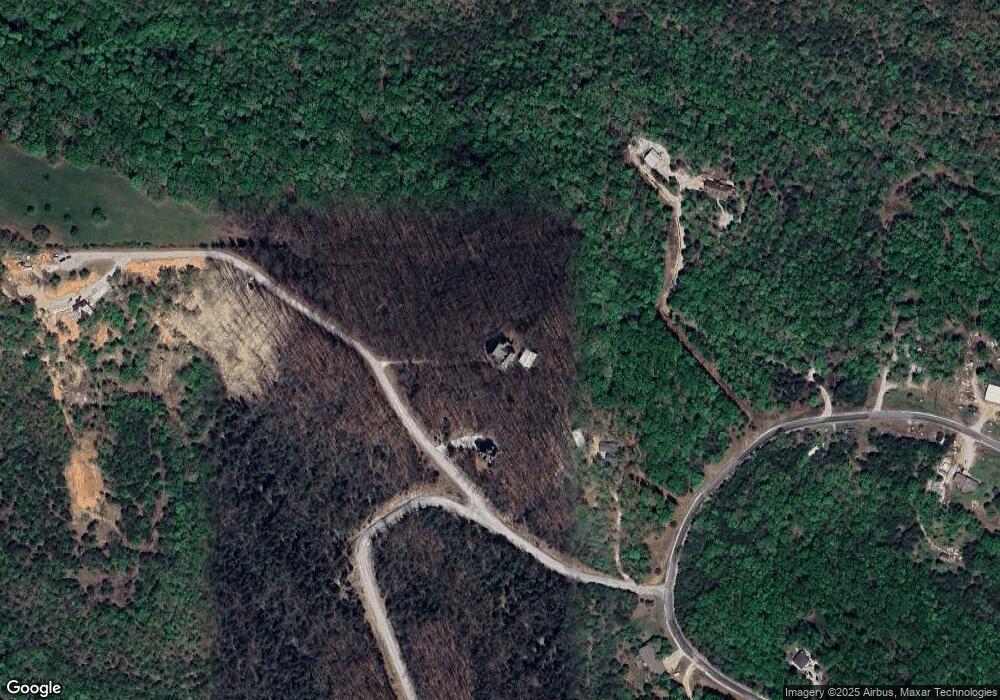
Map
Nearby Homes
- 750 Airport Rd
- 325 Southview Dr
- 000 Southview Dr
- 321 Southwoods Way
- 479 Southview Dr
- 525 Emory Creek Blvd
- 000 El Monte Rd Unit Lot 1
- 175 Ranch View Ct
- 1173 Emory Creek Blvd
- 1191 Emory Creek Blvd
- 705 Watson Rd
- 795 Watson Rd
- 525 N View Dr
- 2325 Emory Creek Blvd
- 537 Watson Rd
- 680 Highpoints Ridge
- 644 Timberland
- 135 Kelly Crossing Ln
- 1078 Newbury Rd
- 290 Newbury Rd Unit Lot 40b
- 180 Denver Rd
- 1325 Airport Rd
- 1385 Airport Rd
- 1384 Airport Rd
- 927 Airport Rd
- 545 Canyon Creek Dr
- 10011 Us Hwy 160
- 000 Airport
- 000 Canyon Creek
- 1394 Airport Rd
- 1393 Airport Rd
- 0 Canyon Creek Dr
- 123 Canyon Creek Dr
- 1400 Airport Rd
- 395 Denver Rd
- 1408 Airport Rd
- 338 Southview Dr
- 326 Southview Dr
- 348 Southview Dr
- 304 Southview Dr
Your Personal Tour Guide
Ask me questions while you tour the home.