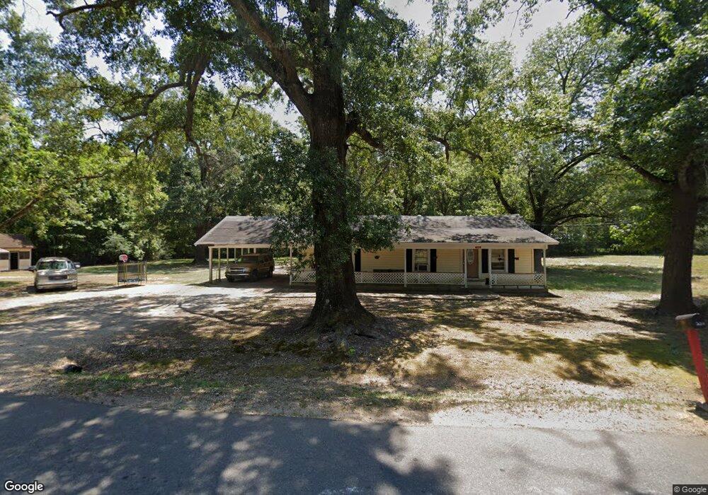
220 Division Ave Bastrop, LA 71220
Estimated Value: $58,000 - $97,971
2
Beds
2
Baths
2,080
Sq Ft
$37/Sq Ft
Est. Value
About This Home
This home is located at 220 Division Ave, Bastrop, LA 71220 and is currently estimated at $77,243, approximately $37 per square foot. 220 Division Ave is a home located in Morehouse Parish with nearby schools including Morehouse Junior High School, Bastrop High School, and St. Joseph Catholic School.
Ownership History
Date
Name
Owned For
Owner Type
Purchase Details
Closed on
Jul 12, 2017
Bought by
Hatfield Wade and Ray Kenyata
Current Estimated Value
Purchase Details
Closed on
Mar 30, 2012
Sold by
Brown Dewey Eugene
Bought by
Hatfield Wade and Ray Kenyata
Purchase Details
Closed on
Apr 30, 2010
Sold by
Homesales Inc
Bought by
Brown Dewey E
Purchase Details
Closed on
Nov 28, 2007
Sold by
Entrada Company Llc
Bought by
Jimmerson Connie Annette
Create a Home Valuation Report for This Property
The Home Valuation Report is an in-depth analysis detailing your home's value as well as a comparison with similar homes in the area
Purchase History
| Date | Buyer | Sale Price | Title Company |
|---|---|---|---|
| Hatfield Wade | $28,000 | -- | |
| Hatfield Wade | $28,000 | -- | |
| Brown Dewey E | $21,000 | -- | |
| Jimmerson Connie Annette | $65,400 | -- |
Source: Public Records
Tax History
| Year | Tax Paid | Tax Assessment Tax Assessment Total Assessment is a certain percentage of the fair market value that is determined by local assessors to be the total taxable value of land and additions on the property. | Land | Improvement |
|---|---|---|---|---|
| 2025 | $526 | $3,974 | $201 | $3,773 |
| 2024 | $557 | $4,194 | $421 | $3,773 |
| 2023 | $403 | $2,949 | $400 | $2,549 |
| 2022 | $403 | $2,949 | $400 | $2,549 |
| 2021 | $404 | $2,949 | $400 | $2,549 |
| 2020 | $396 | $2,949 | $400 | $2,549 |
| 2019 | $387 | $2,949 | $400 | $2,549 |
| 2018 | $387 | $2,949 | $400 | $2,549 |
| 2017 | $387 | $2,949 | $400 | $2,549 |
| 2016 | $387 | $2,949 | $400 | $2,549 |
| 2015 | $214 | $3,140 | $400 | $2,740 |
| 2013 | $298 | $3,950 | $400 | $3,550 |
Source: Public Records
Map
Nearby Homes
- 0 S Washington St
- 700 Boatner St
- 8546 Old Monroe Rd
- 644 E Jefferson Ave
- 0 Collinston Rd
- 605 S Cox St
- 203 W Jefferson Ave
- 0 E Pecan Ave
- 8454 Old Monroe Rd
- 204 W Madison Ave
- 211 N Odom St
- 407 Tulane St
- 921 Samuel St
- 1505 Perry Ave
- 8888 Blackwell Dr
- 606 Elmhurst Dr
- 110 Fairview Dr
- 000 W Madison Ave
- 120 Fairview Dr
- 5155 Victory Ln
- 314 Division Ave
- 127 Balkum Ave
- 131 Balkum Ave
- 305 Division Ave
- 219 Division Ave
- 303 Division Ave
- 217 Division Ave
- 406 Division Ave
- 307 Division Ave
- 215 Division Ave
- 1309 Needham St
- 410 Division Ave
- 311 Division Ave
- 213 Division Ave
- 119 Balkum Ave
- 1308 Needham St
- 114 Division Ave
- 211 Division Ave
- 412 Division Ave
- 1306 Needham St
Your Personal Tour Guide
Ask me questions while you tour the home.