220 Flounder Rd Swainsboro, GA 30401
Estimated Value: $317,000 - $726,000
4
Beds
2
Baths
2,843
Sq Ft
$174/Sq Ft
Est. Value
About This Home
This home is located at 220 Flounder Rd, Swainsboro, GA 30401 and is currently estimated at $495,741, approximately $174 per square foot. 220 Flounder Rd is a home located in Emanuel County with nearby schools including Swainsboro Primary School, Swainsboro Elementary School, and Swainsboro Middle School.
Ownership History
Date
Name
Owned For
Owner Type
Purchase Details
Closed on
Dec 19, 2017
Sold by
Riner Perry L
Bought by
Powell Angela R
Current Estimated Value
Home Financials for this Owner
Home Financials are based on the most recent Mortgage that was taken out on this home.
Original Mortgage
$308,750
Outstanding Balance
$259,806
Interest Rate
3.92%
Mortgage Type
New Conventional
Estimated Equity
$235,935
Purchase Details
Closed on
Jul 31, 2007
Sold by
Flanders William J J
Bought by
Riner Perry L
Create a Home Valuation Report for This Property
The Home Valuation Report is an in-depth analysis detailing your home's value as well as a comparison with similar homes in the area
Home Values in the Area
Average Home Value in this Area
Purchase History
| Date | Buyer | Sale Price | Title Company |
|---|---|---|---|
| Powell Angela R | $325,000 | -- | |
| Riner Perry L | $75,700 | -- |
Source: Public Records
Mortgage History
| Date | Status | Borrower | Loan Amount |
|---|---|---|---|
| Open | Powell Angela R | $308,750 |
Source: Public Records
Tax History Compared to Growth
Tax History
| Year | Tax Paid | Tax Assessment Tax Assessment Total Assessment is a certain percentage of the fair market value that is determined by local assessors to be the total taxable value of land and additions on the property. | Land | Improvement |
|---|---|---|---|---|
| 2024 | $3,587 | $135,215 | $14,630 | $120,585 |
| 2023 | $2,828 | $125,815 | $14,630 | $111,185 |
| 2022 | $2,973 | $117,860 | $14,630 | $103,230 |
| 2021 | $2,889 | $112,897 | $14,630 | $98,267 |
| 2020 | $3,139 | $124,985 | $23,940 | $101,045 |
| 2019 | $3,116 | $124,985 | $23,940 | $101,045 |
| 2018 | $3,596 | $124,985 | $23,940 | $101,045 |
| 2017 | $3,155 | $109,395 | $23,940 | $85,455 |
| 2015 | -- | $108,702 | $23,246 | $85,455 |
| 2014 | -- | $106,413 | $23,246 | $83,166 |
| 2013 | -- | $109,669 | $23,246 | $86,422 |
Source: Public Records
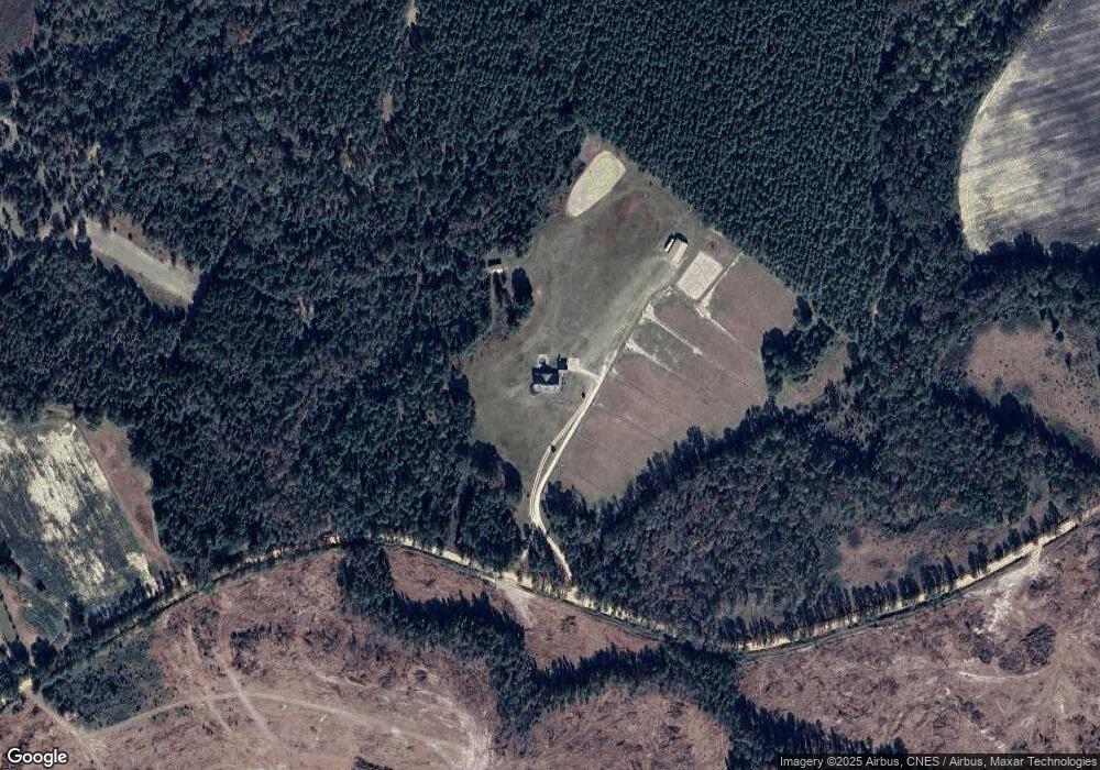
Map
Nearby Homes
- 256 Union Chapel Rd
- 374 Union Chapel Rd
- 444 Halls Bridge Rd
- 150 Kemp Rd
- 26 Ben Blvd
- 147 Reba Dr
- 115 Anns Dr
- 767 Old Nunez Rd
- 0 E Highway 80 Unit 10564175
- 0 E Highway 80 Unit 10498851
- 727 Old Nunez Rd
- 0 Deer Creek W
- Old Wilson Rd
- 555 Jordan Ln
- 0 Deer Creek Dr Unit 10373260
- 508 Barbara Ave
- 217 Mimosa Dr
- 0 Old Wilson Rd
- 0 John S Horton Rd Unit 10539405
- 532 Calhoun St
- 0 Flounder Rd
- 138 Flounder Rd
- 282 Flounder Rd
- 1 Union Chapel Rd
- 0 Union Chapel Rd Unit 8835074
- 0 Union Chapel Rd Unit 8738748
- 0 Union Chapel Rd Unit 7493145
- 0 Union Chapel Rd Unit 8039898
- 0 Union Chapel Rd Unit 8216568
- 0 Union Chapel Rd Unit 8346273
- 0 Union Chapel Rd Unit 8610436
- 0 Union Chapel Rd
- 156 Union Chapel Rd
- 284 Union Chapel Rd
- 37 Sam Woods Rd
- 64 Flounder Rd
- 319 Union Chapel Rd
- 194 Union Chapel Rd
- 347 Bass Rd
- 23 Sam Woods Rd