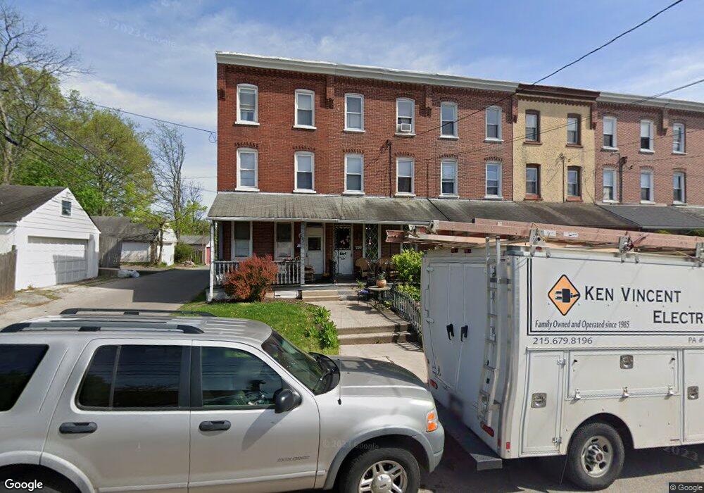
220 Forrest Ave Norristown, PA 19401
Estimated Value: $180,000 - $208,000
5
Beds
1
Bath
1,568
Sq Ft
$121/Sq Ft
Est. Value
About This Home
This home is located at 220 Forrest Ave, Norristown, PA 19401 and is currently estimated at $189,300, approximately $120 per square foot. 220 Forrest Ave is a home located in Montgomery County with nearby schools including Charles Blockson Middle School, Whitehall Elementary School, and East Norriton Middle School.
Ownership History
Date
Name
Owned For
Owner Type
Purchase Details
Closed on
Jun 26, 2014
Sold by
Auriemma Sophie D
Bought by
Carter Eric and Carter Veree A
Current Estimated Value
Home Financials for this Owner
Home Financials are based on the most recent Mortgage that was taken out on this home.
Original Mortgage
$78,551
Outstanding Balance
$60,034
Interest Rate
4.25%
Mortgage Type
FHA
Estimated Equity
$129,266
Create a Home Valuation Report for This Property
The Home Valuation Report is an in-depth analysis detailing your home's value as well as a comparison with similar homes in the area
Home Values in the Area
Average Home Value in this Area
Purchase History
| Date | Buyer | Sale Price | Title Company |
|---|---|---|---|
| Carter Eric | $80,000 | None Available |
Source: Public Records
Mortgage History
| Date | Status | Borrower | Loan Amount |
|---|---|---|---|
| Open | Carter Eric | $78,551 |
Source: Public Records
Tax History Compared to Growth
Tax History
| Year | Tax Paid | Tax Assessment Tax Assessment Total Assessment is a certain percentage of the fair market value that is determined by local assessors to be the total taxable value of land and additions on the property. | Land | Improvement |
|---|---|---|---|---|
| 2025 | $3,092 | $50,380 | $21,910 | $28,470 |
| 2024 | $3,092 | $50,380 | $21,910 | $28,470 |
| 2023 | $3,064 | $50,380 | $21,910 | $28,470 |
| 2022 | $2,998 | $50,380 | $21,910 | $28,470 |
| 2021 | $2,984 | $50,380 | $21,910 | $28,470 |
| 2020 | $2,847 | $50,380 | $21,910 | $28,470 |
| 2019 | $2,794 | $50,380 | $21,910 | $28,470 |
| 2018 | $1,860 | $50,380 | $21,910 | $28,470 |
| 2017 | $2,566 | $50,380 | $21,910 | $28,470 |
| 2016 | $2,547 | $50,380 | $21,910 | $28,470 |
| 2015 | $2,440 | $50,380 | $21,910 | $28,470 |
| 2014 | $2,440 | $50,380 | $21,910 | $28,470 |
Source: Public Records
Map
Nearby Homes
- 0 Sheridan Ln Unit PAMC2130926
- 0 Sheridan Ln Unit PAMC2131012
- 134 W Main St
- 1115 W Main St
- 243 Buttonwood St
- 0 Centre Unit 430 PAMC2099854
- 1014 W Main St
- 1022 W Lafayette St
- 1009 W Main St
- 564 Hamilton St
- 606 Selma St
- 519 Noble St
- 1016 Thomas Barone St
- 924 W Main St
- 1633 Williams Way
- 19 Roberts Alley
- 417 Centre Ave
- 13 Stanbridge St
- 1635 W Marshall W Marshall St
- 392 Joseph St
- 222 Forrest Ave
- 216 Forrest Ave
- 214 Forrest Ave
- 212 Forrest Ave
- 210 Forrest Ave
- 208 Forrest Ave
- 206 Forrest Ave
- 204 Forrest Ave
- 202 Forrest Ave
- 1336 W Main St
- 1338 W Main St
- 1334 W Main St
- 1340 W Main St
- 233 Forrest Ave
- 1332 W Main St
- 200 Forrest Ave
- 1342 W Main St
- 1330 W Main St Unit 7
- 1328 W Main St Unit 8
- 1326 W Main St