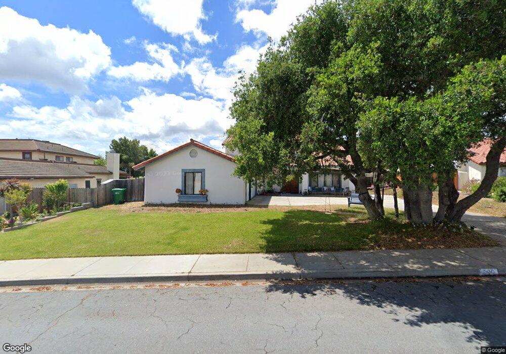
220 Galaxy Way Lompoc, CA 93436
Estimated Value: $821,000 - $862,000
About This Home
This home is located at 220 Galaxy Way, Lompoc, CA 93436 and is currently estimated at $847,143, approximately $353 per square foot. 220 Galaxy Way is a home located in Santa Barbara County with nearby schools including Buena Vista Elementary School and Cabrillo High School.
Ownership History
We collect this data history from publicly available records. To have your information removed, we recommend requesting removal directly through your county’s website.
Purchase Details
Home Values in the Area
Average Home Value in this Area
Purchase History
We collect this data history from publicly available records. To have your information removed, we recommend requesting removal directly through your county’s website.
| Date | Buyer | Sale Price | Title Company |
|---|---|---|---|
| -- | None Available |
Tax History
We collect this data history from publicly available records. To have your information removed, we recommend requesting removal directly through your county’s website.
| Year | Tax Paid | Tax Assessment Tax Assessment Total Assessment is a certain percentage of the fair market value that is determined by local assessors to be the total taxable value of land and additions on the property. | Land | Improvement |
|---|---|---|---|---|
| 2025 | $4,336 | $375,206 | $119,740 | $255,466 |
| 2023 | $4,336 | $360,639 | $115,092 | $245,547 |
| 2022 | $4,267 | $353,569 | $112,836 | $240,733 |
| 2021 | $4,311 | $346,637 | $110,624 | $236,013 |
| 2020 | $4,267 | $343,083 | $109,490 | $233,593 |
| 2019 | $4,203 | $336,357 | $107,344 | $229,013 |
| 2018 | $4,143 | $329,763 | $105,240 | $224,523 |
| 2017 | $3,983 | $323,298 | $103,177 | $220,121 |
| 2016 | $3,643 | $316,959 | $101,154 | $215,805 |
| 2014 | $3,563 | $306,085 | $97,684 | $208,401 |
Map
- 4603 Falcon Dr
- 18 Galaxy Way
- 4486 Titan Ave
- 6 Stanford Cir
- 35 Aldebaran Ave
- 4220 Constellation Rd
- 73 Stanford Cir
- 131 Deneb Place
- 240 Oak Hill Dr
- 0 Oak Hill Dr Unit 24-783
- 107 Inverness Ave
- 135 Oakmont Ave
- 259 Burton Mesa Blvd Unit A
- 4173 Oakwood Ct
- 277 Burton Mesa Blvd Unit B
- 245 Burton Mesa Blvd Unit B
- 649 Burning Tree Way
- 4050 Saint Andrews Ct
- 384 Falcon Crest Dr
- 3957 Pinehurst Dr
- 226 Galaxy Way
- 214 Galaxy Way
- 4283 Vanguard Dr
- 4291 Vanguard Dr
- 232 Galaxy Way
- 4275 Vanguard Dr
- 4601 Falcon Dr
- 208 Galaxy Way
- 4605 Falcon Dr
- 225 Galaxy Way
- 219 Galaxy Way
- 4263 Vanguard Dr
- 209 Galaxy Way
- 235 Galaxy Way
- 238 Galaxy Way
- 202 Galaxy Way Unit 3
- 4604 Falcon Dr
- 4251 Vanguard Dr
- 4286 Vanguard Dr
- 4280 Vanguard Dr
Ask me questions while you tour the home.