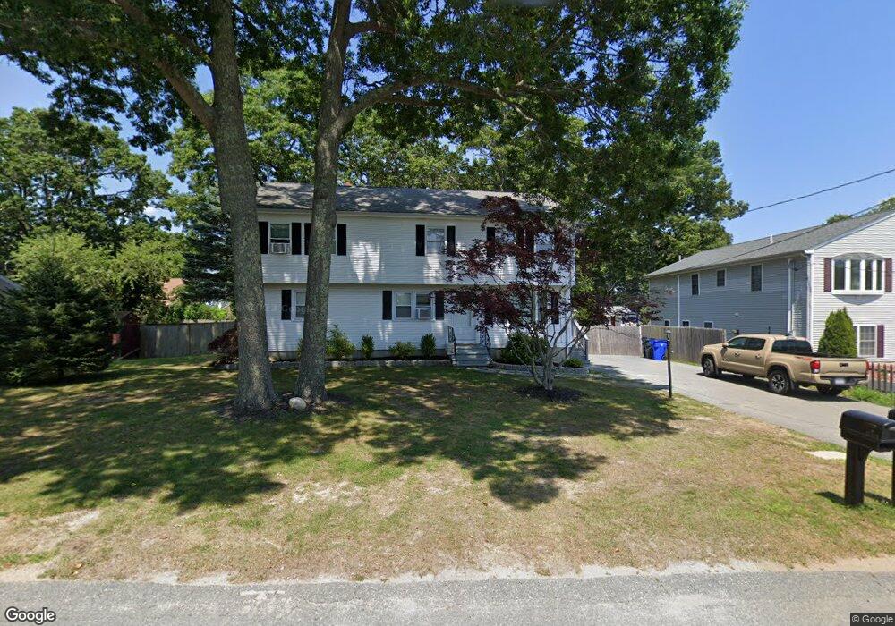
220 Hancock St Fall River, MA 02721
Maplewood NeighborhoodEstimated Value: $440,000 - $543,000
4
Beds
3
Baths
1,736
Sq Ft
$291/Sq Ft
Est. Value
About This Home
This home is located at 220 Hancock St, Fall River, MA 02721 and is currently estimated at $504,644, approximately $290 per square foot. 220 Hancock St is a home located in Bristol County with nearby schools including Letourneau Elementary School, Matthew J. Kuss Middle School, and B M C Durfee High School.
Ownership History
Date
Name
Owned For
Owner Type
Purchase Details
Closed on
Aug 7, 2023
Sold by
Goulet Barry A and Grimes Deborah A
Bought by
Grimes Deborah A
Current Estimated Value
Purchase Details
Closed on
Jun 20, 2014
Sold by
Grimes Deborah
Bought by
Goulet Barry A and Grimes Deborah
Purchase Details
Closed on
Aug 29, 2003
Sold by
Souza Janet Y and Souza Ronald
Bought by
Grimes Deborah
Create a Home Valuation Report for This Property
The Home Valuation Report is an in-depth analysis detailing your home's value as well as a comparison with similar homes in the area
Home Values in the Area
Average Home Value in this Area
Purchase History
| Date | Buyer | Sale Price | Title Company |
|---|---|---|---|
| Grimes Deborah A | -- | None Available | |
| Goulet Barry A | -- | -- | |
| Grimes Deborah | $260,000 | -- |
Source: Public Records
Mortgage History
| Date | Status | Borrower | Loan Amount |
|---|---|---|---|
| Previous Owner | Grimes Deborah | $262,700 | |
| Previous Owner | Grimes Deborah | $37,000 | |
| Previous Owner | Grimes Deborah | $294,000 |
Source: Public Records
Tax History Compared to Growth
Tax History
| Year | Tax Paid | Tax Assessment Tax Assessment Total Assessment is a certain percentage of the fair market value that is determined by local assessors to be the total taxable value of land and additions on the property. | Land | Improvement |
|---|---|---|---|---|
| 2025 | $5,164 | $451,000 | $134,500 | $316,500 |
| 2024 | $4,725 | $411,200 | $129,500 | $281,700 |
| 2023 | $4,616 | $376,200 | $123,200 | $253,000 |
| 2022 | $4,253 | $337,000 | $114,100 | $222,900 |
| 2021 | $4,056 | $293,300 | $113,800 | $179,500 |
| 2020 | $3,636 | $251,600 | $107,600 | $144,000 |
| 2019 | $3,479 | $238,600 | $105,600 | $133,000 |
| 2018 | $3,295 | $225,400 | $105,600 | $119,800 |
| 2017 | $3,020 | $215,700 | $102,500 | $113,200 |
| 2016 | $2,902 | $212,900 | $102,500 | $110,400 |
| 2015 | $2,838 | $217,000 | $102,500 | $114,500 |
| 2014 | $2,857 | $227,100 | $102,500 | $124,600 |
Source: Public Records
Map
Nearby Homes
- 142 Norman St
- 0 Stafford Rd Unit 1393774
- 0 Stafford Rd Unit 73431501
- 0 Hancock St
- 0 Wood St
- 38 Hummingbird Ln
- 18 Mockingbird Ln
- 228 Dickinson St
- 217 Napoleon St
- 185 Stafford Rd
- 1441 Stafford Rd
- 206 Songbird Ln
- 871 Norman St
- 64 Robin Dr Unit 2-84
- 70 Robin Dr
- 84 Lark Ln
- 3 Blackbird St
- 961 Wood St
- 9 Blackbird St
- 37 Bluejay St