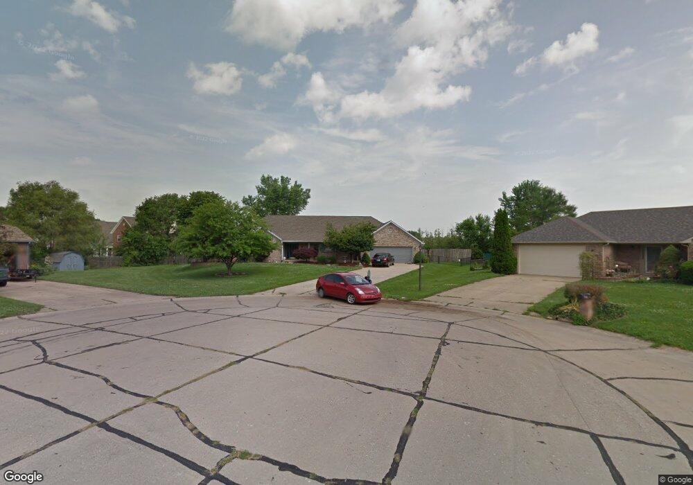
220 Hole in One Ct Franklin, IN 46131
Estimated Value: $356,927 - $410,000
3
Beds
3
Baths
2,265
Sq Ft
$171/Sq Ft
Est. Value
About This Home
This home is located at 220 Hole in One Ct, Franklin, IN 46131 and is currently estimated at $386,482, approximately $170 per square foot. 220 Hole in One Ct is a home located in Johnson County with nearby schools including Webb Elementary School, Franklin Community Middle School, and Custer Baker Intermediate School.
Ownership History
Date
Name
Owned For
Owner Type
Purchase Details
Closed on
May 22, 2007
Sold by
Reece Karen L and Hugill Karen L
Bought by
Smith Andrew L and Smith Mary E
Current Estimated Value
Home Financials for this Owner
Home Financials are based on the most recent Mortgage that was taken out on this home.
Original Mortgage
$151,500
Outstanding Balance
$92,354
Interest Rate
6.21%
Mortgage Type
New Conventional
Estimated Equity
$294,128
Create a Home Valuation Report for This Property
The Home Valuation Report is an in-depth analysis detailing your home's value as well as a comparison with similar homes in the area
Home Values in the Area
Average Home Value in this Area
Purchase History
| Date | Buyer | Sale Price | Title Company |
|---|---|---|---|
| Smith Andrew L | -- | Chicago Title Insurance Comp |
Source: Public Records
Mortgage History
| Date | Status | Borrower | Loan Amount |
|---|---|---|---|
| Open | Smith Andrew L | $151,500 |
Source: Public Records
Tax History Compared to Growth
Tax History
| Year | Tax Paid | Tax Assessment Tax Assessment Total Assessment is a certain percentage of the fair market value that is determined by local assessors to be the total taxable value of land and additions on the property. | Land | Improvement |
|---|---|---|---|---|
| 2025 | $2,733 | $311,200 | $36,000 | $275,200 |
| 2024 | $2,733 | $246,900 | $36,000 | $210,900 |
| 2023 | $2,747 | $246,900 | $36,000 | $210,900 |
| 2022 | $2,825 | $252,600 | $36,000 | $216,600 |
| 2021 | $2,512 | $225,400 | $36,000 | $189,400 |
| 2020 | $2,457 | $220,600 | $36,000 | $184,600 |
| 2019 | $2,364 | $212,100 | $36,000 | $176,100 |
| 2018 | $1,983 | $196,100 | $36,000 | $160,100 |
| 2017 | $1,995 | $198,500 | $36,000 | $162,500 |
| 2016 | $1,758 | $198,500 | $36,000 | $162,500 |
| 2014 | $1,731 | $173,100 | $20,700 | $152,400 |
| 2013 | $1,731 | $173,100 | $20,700 | $152,400 |
Source: Public Records
Map
Nearby Homes
- 1532 Williamsburg Ln
- 1850 Longest Dr
- 1083 Beechtree Ln
- 1130 E Adams Dr
- 1121 E Adams Dr
- 1110 Hillview Dr
- 1185 Beechtree Ln
- 1682 Millpond Ln
- 1669 Millpond Ln
- 1646 Millpond Ln
- 1636 Millpond Ln
- 1679 Millpond Ln
- 1690 Millpond Ln
- 1642 Millpond Ln
- 1663 Millpond Ln
- 1640 Millpond Ln
- 1650 Millpond Ln
- 1654 Millpond Ln
- 1660 Millpond Ln
- 1653 Millpond Ln
- 220 Hole In 1 Ct
- 170 Hole in One Ct
- 215 Hole in One Ct
- 170 Hole In 1 Ct
- 212 Monaco Dr
- 175 Hole in One Ct
- 208 Monaco Dr
- 188 Monaco Dr
- 1630 Longest Dr
- 184 Monaco Dr
- 1660 Longest Dr
- 164 Monaco Dr
- 220 N Milford Dr
- 160 Monaco Dr
- 180 N Milford Dr
- 235 N Milford Dr
- 1715 Green Ct
- 1710 Longest Dr
- 1630 Thornburg Ln
- 1620 Thornburg Ln