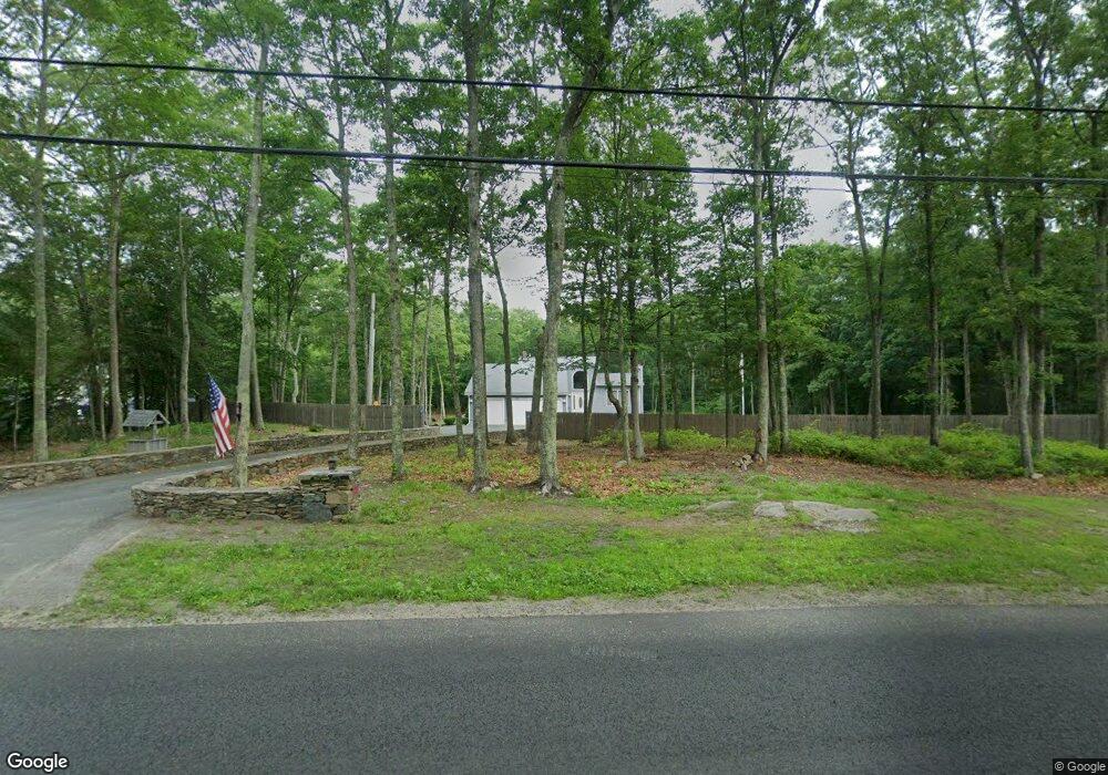
220 Homestead Ave Rehoboth, MA 02769
Estimated Value: $621,050 - $777,000
3
Beds
2
Baths
1,986
Sq Ft
$344/Sq Ft
Est. Value
About This Home
This home is located at 220 Homestead Ave, Rehoboth, MA 02769 and is currently estimated at $683,513, approximately $344 per square foot. 220 Homestead Ave is a home located in Bristol County with nearby schools including Dighton-Rehoboth Regional High School, Grace Baptist Christian Academy, and St Cecilia School.
Ownership History
Date
Name
Owned For
Owner Type
Purchase Details
Closed on
Apr 4, 2018
Sold by
Newman George H
Bought by
George H Newman Jr T
Current Estimated Value
Purchase Details
Closed on
May 16, 2006
Sold by
Jack Alan R and Jack Susan M
Bought by
Newman George H and Newman Joan C
Purchase Details
Closed on
Apr 23, 1992
Sold by
Langevin David A
Bought by
Jack Alan R and Jack Susan
Create a Home Valuation Report for This Property
The Home Valuation Report is an in-depth analysis detailing your home's value as well as a comparison with similar homes in the area
Home Values in the Area
Average Home Value in this Area
Purchase History
| Date | Buyer | Sale Price | Title Company |
|---|---|---|---|
| George H Newman Jr T | -- | -- | |
| Newman George H | $475,000 | -- | |
| Jack Alan R | $35,000 | -- |
Source: Public Records
Mortgage History
| Date | Status | Borrower | Loan Amount |
|---|---|---|---|
| Previous Owner | Jack Alan R | $18,000 | |
| Previous Owner | Jack Alan R | $120,000 | |
| Previous Owner | Jack Alan R | $116,000 |
Source: Public Records
Tax History Compared to Growth
Tax History
| Year | Tax Paid | Tax Assessment Tax Assessment Total Assessment is a certain percentage of the fair market value that is determined by local assessors to be the total taxable value of land and additions on the property. | Land | Improvement |
|---|---|---|---|---|
| 2025 | $58 | $519,600 | $195,500 | $324,100 |
| 2024 | $5,480 | $482,400 | $195,500 | $286,900 |
| 2023 | $5,391 | $479,200 | $191,500 | $287,700 |
| 2022 | $5,391 | $425,500 | $183,100 | $242,400 |
| 2021 | $5,455 | $412,000 | $166,800 | $245,200 |
| 2020 | $5,304 | $404,300 | $166,800 | $237,500 |
| 2018 | $4,489 | $375,000 | $159,000 | $216,000 |
| 2017 | $4,263 | $339,400 | $159,000 | $180,400 |
| 2016 | $4,054 | $333,700 | $159,000 | $174,700 |
| 2015 | $3,975 | $322,900 | $151,800 | $171,100 |
| 2014 | $3,927 | $315,700 | $144,600 | $171,100 |
Source: Public Records
Map
Nearby Homes
- 17 Robincrest Ct
- 101 Rocky Hill Rd
- 680 Pine St
- 660 Pine St
- 91 Cross St
- 87 Cross St
- 9 Gerry Dr
- Lot 11 Ledge Hill Ln
- 16 Salisbury St
- 15 Bucklin Dr
- 22 Bucklin Dr
- 7 Ledge Hill Ln
- 52 Carpenter St
- 132 Fairview Ave
- 154 Fairview Ave
- 8 Matt's Way
- 6 Matt's Way
- 55 Burnside Ave
- Lot B Burnside Ave
- 84 Fairview Ave
- 216 Homestead Ave
- 222 Homestead Ave
- 221 Homestead Ave
- 217 Homestead Ave
- 226 Homestead Ave
- 3 Talbot Dr
- 209 Homestead Ave
- 230 Homestead Ave
- 208 Homestead Ave
- 7 Talbot Dr
- 0 Talbot Way Unit 30755902
- 213 Homestead Ave
- 4 Talbot Dr
- 203 Homestead Ave
- 11 Talbot Dr
- 8 Talbot Dr
- 199 Homestead Ave
- 236 Homestead Ave
- 12 Talbot Dr
- 196 Homestead Ave