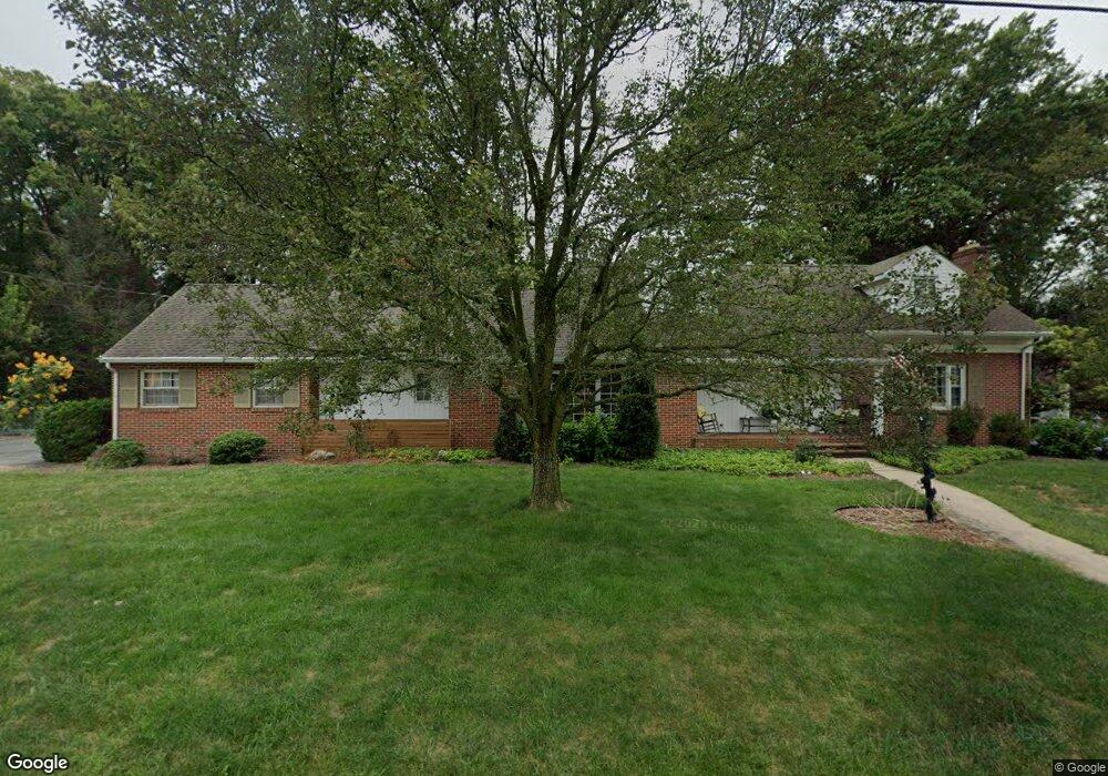
220 Jopa Rd Greencastle, PA 17225
Estimated Value: $507,000 - $658,027
--
Bed
1
Bath
3,386
Sq Ft
$173/Sq Ft
Est. Value
About This Home
This home is located at 220 Jopa Rd, Greencastle, PA 17225 and is currently estimated at $585,757, approximately $172 per square foot. 220 Jopa Rd is a home located in Franklin County with nearby schools including Greencastle-Antrim Primary School, Greencastle-Antrim Elementary School, and Greencastle-Antrim Middle School.
Ownership History
Date
Name
Owned For
Owner Type
Purchase Details
Closed on
Jun 28, 2018
Sold by
Stouffer Michael L and Stouffer Kelli S
Bought by
Markloff Jonathan T and Markloff Mallory D
Current Estimated Value
Home Financials for this Owner
Home Financials are based on the most recent Mortgage that was taken out on this home.
Original Mortgage
$399,000
Outstanding Balance
$346,558
Interest Rate
4.6%
Mortgage Type
New Conventional
Estimated Equity
$239,199
Purchase Details
Closed on
May 25, 2005
Sold by
Strait Gregory A and Strait Susan W
Bought by
Stouffer Michael L and Stouffer Kelli S
Home Financials for this Owner
Home Financials are based on the most recent Mortgage that was taken out on this home.
Original Mortgage
$143,000
Interest Rate
3%
Mortgage Type
Adjustable Rate Mortgage/ARM
Create a Home Valuation Report for This Property
The Home Valuation Report is an in-depth analysis detailing your home's value as well as a comparison with similar homes in the area
Home Values in the Area
Average Home Value in this Area
Purchase History
| Date | Buyer | Sale Price | Title Company |
|---|---|---|---|
| Markloff Jonathan T | $399,000 | None Available | |
| Stouffer Michael L | $380,000 | None Available |
Source: Public Records
Mortgage History
| Date | Status | Borrower | Loan Amount |
|---|---|---|---|
| Open | Markloff Jonathan T | $399,000 | |
| Previous Owner | Stouffer Michael L | $143,000 |
Source: Public Records
Tax History Compared to Growth
Tax History
| Year | Tax Paid | Tax Assessment Tax Assessment Total Assessment is a certain percentage of the fair market value that is determined by local assessors to be the total taxable value of land and additions on the property. | Land | Improvement |
|---|---|---|---|---|
| 2025 | $6,700 | $39,080 | $4,800 | $34,280 |
| 2024 | $6,556 | $39,080 | $4,800 | $34,280 |
| 2023 | $6,487 | $39,080 | $4,800 | $34,280 |
| 2022 | $6,447 | $39,080 | $4,800 | $34,280 |
| 2021 | $6,334 | $39,080 | $4,800 | $34,280 |
| 2020 | $6,184 | $39,080 | $4,800 | $34,280 |
| 2019 | $6,057 | $39,080 | $4,800 | $34,280 |
| 2018 | $5,998 | $39,080 | $4,800 | $34,280 |
| 2017 | $5,823 | $39,080 | $4,800 | $34,280 |
| 2016 | $1,120 | $39,080 | $4,800 | $34,280 |
| 2015 | $1,043 | $39,080 | $4,800 | $34,280 |
| 2014 | $1,043 | $39,080 | $4,800 | $34,280 |
Source: Public Records
Map
Nearby Homes
- 239 Orchard Cir
- 271 E Baltimore St
- 431 Leitersburg St
- 129 E Franklin St
- 674 Lohman Ave
- 148 E Madison St
- 34.77 Acres Red Oak Estate S
- 602 Brookview Dr
- 227 Tyrone St
- 231 N Allison St Unit 1
- 45 W Dahlgren St
- 101 N Carlisle St
- 148 N Carlisle St
- 480 S Carlisle St
- 823 Buchanan Trail E
- 560 Meadowview Cir
- 341 W Baltimore St
- 375 Carolle St
- 12 Edward Dr
- 382 Teaberry Dr