220 Justice Way Jefferson, GA 30549
Estimated Value: $980,000 - $1,106,804
5
Beds
4
Baths
3,948
Sq Ft
$264/Sq Ft
Est. Value
About This Home
This home is located at 220 Justice Way, Jefferson, GA 30549 and is currently estimated at $1,043,402, approximately $264 per square foot. 220 Justice Way is a home located in Jackson County with nearby schools including Gum Springs Elementary School, West Jackson Middle School, and Jackson County High School.
Ownership History
Date
Name
Owned For
Owner Type
Purchase Details
Closed on
Aug 22, 2022
Sold by
Sliz Purity Maria
Bought by
Sliz Jeffrey R and Sliz Maria
Current Estimated Value
Purchase Details
Closed on
Jan 1, 2016
Sold by
Sliz Jeffrey R
Bought by
Sliz Jarett R
Purchase Details
Closed on
Dec 7, 2007
Sold by
Not Provided
Bought by
Sliz Jeffrey R
Purchase Details
Closed on
Mar 27, 2003
Sold by
Sliz Kathy R
Bought by
Sliz Jeffrey R
Create a Home Valuation Report for This Property
The Home Valuation Report is an in-depth analysis detailing your home's value as well as a comparison with similar homes in the area
Home Values in the Area
Average Home Value in this Area
Purchase History
| Date | Buyer | Sale Price | Title Company |
|---|---|---|---|
| Sliz Jeffrey R | -- | -- | |
| Sliz Jarett R | -- | -- | |
| Sliz Purity Maria | -- | -- | |
| Sliz Purity Maria | -- | -- | |
| Sliz Jeffrey R | -- | -- | |
| Sliz Jeffrey R | -- | -- |
Source: Public Records
Tax History Compared to Growth
Tax History
| Year | Tax Paid | Tax Assessment Tax Assessment Total Assessment is a certain percentage of the fair market value that is determined by local assessors to be the total taxable value of land and additions on the property. | Land | Improvement |
|---|---|---|---|---|
| 2024 | $10,849 | $415,760 | $89,000 | $326,760 |
| 2023 | $10,775 | $374,960 | $89,000 | $285,960 |
| 2022 | $7,917 | $272,280 | $48,080 | $224,200 |
| 2021 | $7,954 | $271,680 | $48,080 | $223,600 |
| 2020 | $7,453 | $232,600 | $48,080 | $184,520 |
| 2019 | $7,564 | $232,600 | $48,080 | $184,520 |
| 2018 | $7,968 | $242,000 | $48,080 | $193,920 |
| 2017 | $7,641 | $230,171 | $40,875 | $189,296 |
| 2016 | $7,683 | $230,171 | $40,875 | $189,296 |
| 2015 | $8,510 | $255,327 | $66,032 | $189,296 |
| 2014 | $7,983 | $239,108 | $66,032 | $173,076 |
| 2013 | -- | $239,108 | $66,031 | $173,076 |
Source: Public Records
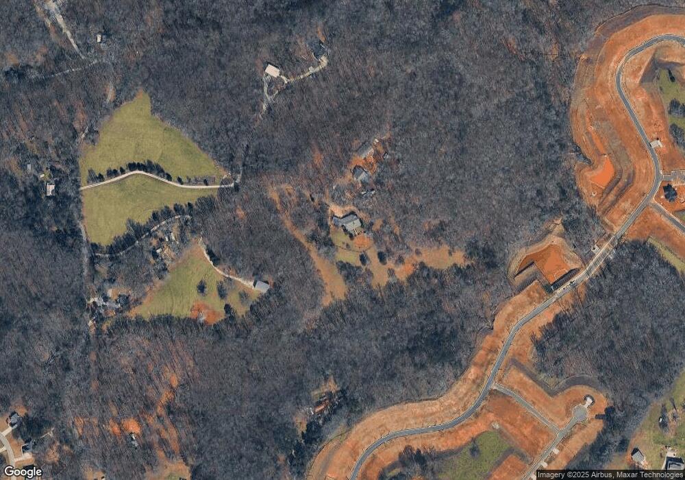
Map
Nearby Homes
- 2236 Georgia 124
- 2274 Georgia 124
- 285 Meadowcreek Dr
- 0 Creek Nation Rd Unit TRACT 2
- 0 Creek Nation Rd Unit 10599350
- 117 Hampton Rdge Way
- 103 Hampton Rdge Way
- 90 Hampton Rdge Way
- Brentwood Plan at Hampton Ridge
- Lexington Plan at Hampton Ridge
- Graham Plan at Hampton Ridge
- Reynolds Plan at Hampton Ridge
- Crofton Plan at Hampton Ridge
- Turnbridge Plan at Hampton Ridge
- Clayton Plan at Hampton Ridge
- 110 Hampton Hollow Dr
- 126 Hampton Hollow Dr
- 70 Tysor Ct
- 220 Justice Way
- 328 Lester Wood Rd
- 328 Lester Wood Rd
- 204 Lester Wood Rd
- 1980 Highway 124 W
- 210 Lester Wood Rd
- 0 Lester Wood Rd
- 450 Lester Wood Rd
- 329 Lester Wood Rd
- 488 Amherst Way Unit Southport
- 488 Amherst Way Unit Oakmont
- 488 Amherst Way Unit Reno
- 488 Amherst Way
- 2082 Highway 124 W
- 2082 Hwy 124 W
- 2082 Highway 124 W
- 2082 Highway 124 W
- 2082 Hwy 124 West
- 000 Lester Wood Rd
- 2136 Highway 124 W