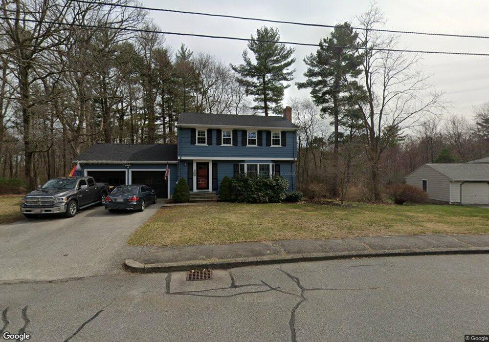
220 King Philip St South Weymouth, MA 02190
South Weymouth NeighborhoodEstimated Value: $713,000 - $754,000
4
Beds
2
Baths
1,500
Sq Ft
$488/Sq Ft
Est. Value
About This Home
This home is located at 220 King Philip St, South Weymouth, MA 02190 and is currently estimated at $731,483, approximately $487 per square foot. 220 King Philip St is a home located in Norfolk County with nearby schools including Thomas V Nash, Abigail Adams Middle School, and Weymouth Middle School Chapman.
Ownership History
Date
Name
Owned For
Owner Type
Purchase Details
Closed on
Nov 18, 2022
Sold by
Cox John T and Cox Nicole A
Bought by
Hurley Michael G and Hurley Kathryn M
Current Estimated Value
Home Financials for this Owner
Home Financials are based on the most recent Mortgage that was taken out on this home.
Original Mortgage
$250,000
Outstanding Balance
$241,728
Interest Rate
6.94%
Mortgage Type
Purchase Money Mortgage
Estimated Equity
$489,756
Purchase Details
Closed on
Dec 4, 2003
Sold by
Flavin Charles H
Bought by
Cox John T and Cox Nicole A
Home Financials for this Owner
Home Financials are based on the most recent Mortgage that was taken out on this home.
Original Mortgage
$315,000
Interest Rate
6.03%
Mortgage Type
Purchase Money Mortgage
Create a Home Valuation Report for This Property
The Home Valuation Report is an in-depth analysis detailing your home's value as well as a comparison with similar homes in the area
Home Values in the Area
Average Home Value in this Area
Purchase History
| Date | Buyer | Sale Price | Title Company |
|---|---|---|---|
| Hurley Michael G | $612,500 | None Available | |
| Cox John T | $395,000 | -- | |
| Cox John T | $395,000 | -- |
Source: Public Records
Mortgage History
| Date | Status | Borrower | Loan Amount |
|---|---|---|---|
| Open | Hurley Michael G | $250,000 | |
| Previous Owner | Cox John T | $315,000 | |
| Previous Owner | Cox John T | $103,470 |
Source: Public Records
Tax History Compared to Growth
Tax History
| Year | Tax Paid | Tax Assessment Tax Assessment Total Assessment is a certain percentage of the fair market value that is determined by local assessors to be the total taxable value of land and additions on the property. | Land | Improvement |
|---|---|---|---|---|
| 2025 | $6,355 | $629,200 | $251,900 | $377,300 |
| 2024 | $6,147 | $598,500 | $239,900 | $358,600 |
| 2023 | $5,879 | $562,600 | $242,400 | $320,200 |
| 2022 | $5,843 | $509,900 | $224,400 | $285,500 |
| 2021 | $5,524 | $470,500 | $224,400 | $246,100 |
| 2020 | $5,335 | $447,600 | $224,400 | $223,200 |
| 2019 | $5,206 | $429,500 | $215,800 | $213,700 |
| 2018 | $5,045 | $403,600 | $205,500 | $198,100 |
| 2017 | $4,927 | $384,600 | $195,800 | $188,800 |
| 2016 | $4,768 | $372,500 | $188,200 | $184,300 |
| 2015 | $4,546 | $352,400 | $188,200 | $164,200 |
| 2014 | $4,384 | $329,600 | $175,200 | $154,400 |
Source: Public Records
Map
Nearby Homes
- 193 Randolph St
- 211 Randolph St
- 120 Randolph St
- 24 Fisher Rd
- 68 Massapoag St Unit 7
- 50 Hollis St
- 16 Jay Rd
- 308 Forest St
- 354 Tilden Commons Ln
- 18 Fountain Ln Unit 2
- 92 Mercury St
- 175 Tyson Commons Ln
- 27 Park Ave
- 134 Tyson Commons Ln
- 30 Bradford Commons Ln
- 60 Greentree Ln Unit 38
- 2 Mitchell Ln Unit B
- 11 Woodcrest Ct Unit 5
- 10 Woodcrest Ct Unit 4
- 7 Woodcrest Ct Unit 4
- 228 King Philip St
- 214 King Philip St
- 225 King Philip St
- 206 King Philip St
- 211 King Philip St
- 234 King Philip St
- 239 King Philip St
- 238 King Philip St
- 67 Woodland Dr
- 19 Heather Ln
- 19 Heather Ln Unit Rear
- 198 King Philip St
- 11 Mason St
- 27 Heather Ln
- 57 Woodland Dr
- 21 Mason St
- 191 King Philip St
- 81 Reservoir Run
- 186 King Philip St
- 6 Mason St