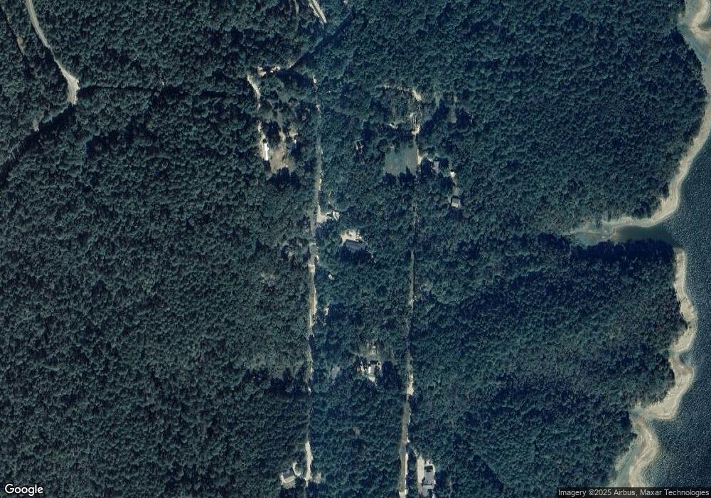
220 Lennox Ln Bismarck, AR 71929
Estimated Value: $137,000 - $205,506
--
Bed
2
Baths
1,551
Sq Ft
$112/Sq Ft
Est. Value
About This Home
This home is located at 220 Lennox Ln, Bismarck, AR 71929 and is currently estimated at $173,127, approximately $111 per square foot. 220 Lennox Ln is a home located in Hot Spring County with nearby schools including Bismarck Elementary School, Bismarck Middle School, and Bismarck High School.
Ownership History
Date
Name
Owned For
Owner Type
Purchase Details
Closed on
Jul 13, 2018
Sold by
Wilson Roger Burton
Bought by
Schee Sandra D and Schee James W
Current Estimated Value
Home Financials for this Owner
Home Financials are based on the most recent Mortgage that was taken out on this home.
Original Mortgage
$100,505
Outstanding Balance
$87,295
Interest Rate
4.6%
Mortgage Type
New Conventional
Estimated Equity
$85,832
Purchase Details
Closed on
May 27, 1983
Bought by
Frederick Earl D and Frederick Wanda
Create a Home Valuation Report for This Property
The Home Valuation Report is an in-depth analysis detailing your home's value as well as a comparison with similar homes in the area
Home Values in the Area
Average Home Value in this Area
Purchase History
| Date | Buyer | Sale Price | Title Company |
|---|---|---|---|
| Schee Sandra D | $99,500 | Fidelity National Title Co | |
| Frederick Earl D | $32,500 | -- |
Source: Public Records
Mortgage History
| Date | Status | Borrower | Loan Amount |
|---|---|---|---|
| Open | Schee Sandra D | $100,505 |
Source: Public Records
Tax History Compared to Growth
Tax History
| Year | Tax Paid | Tax Assessment Tax Assessment Total Assessment is a certain percentage of the fair market value that is determined by local assessors to be the total taxable value of land and additions on the property. | Land | Improvement |
|---|---|---|---|---|
| 2024 | $865 | $27,295 | $3,600 | $23,695 |
| 2023 | $924 | $27,295 | $3,600 | $23,695 |
| 2022 | $915 | $27,850 | $3,600 | $24,250 |
| 2021 | $856 | $27,850 | $3,600 | $24,250 |
| 2020 | $798 | $23,455 | $2,520 | $20,935 |
| 2019 | $798 | $23,455 | $2,520 | $20,935 |
| 2018 | $1,173 | $23,455 | $2,520 | $20,935 |
| 2017 | $1,173 | $23,455 | $2,520 | $20,935 |
| 2016 | $715 | $14,293 | $2,520 | $11,773 |
| 2015 | $330 | $13,595 | $2,520 | $11,075 |
| 2014 | $330 | $13,595 | $2,520 | $11,075 |
Source: Public Records
Map
Nearby Homes
- 883 Ozark Loop
- 1028 Red Wings Rd
- TBD Green Acres Dr
- 767 Red Wings Rd
- 324 Joe Ln
- 188 Stand Ln
- 0 Rainbow Rd Unit 151660
- 0 Rainbow Rd Unit 25026883
- 00 Pin Oak Dr
- xx Pin Oak Dr
- 4437 Highway 7
- 4437 Highway 7 Unit 2078 Arlie Moore Roa
- 741 Rainbow Rd Unit A
- 741 Rainbow Rd Unit Bismark, AR
- 1237 Broken Bow Ln
- TBD Broken Bow Ln
- 6486 Highway 7
- 2152 Thomas Loop
- 1966 Thomas Loop
- 7369 Arkansas 7
