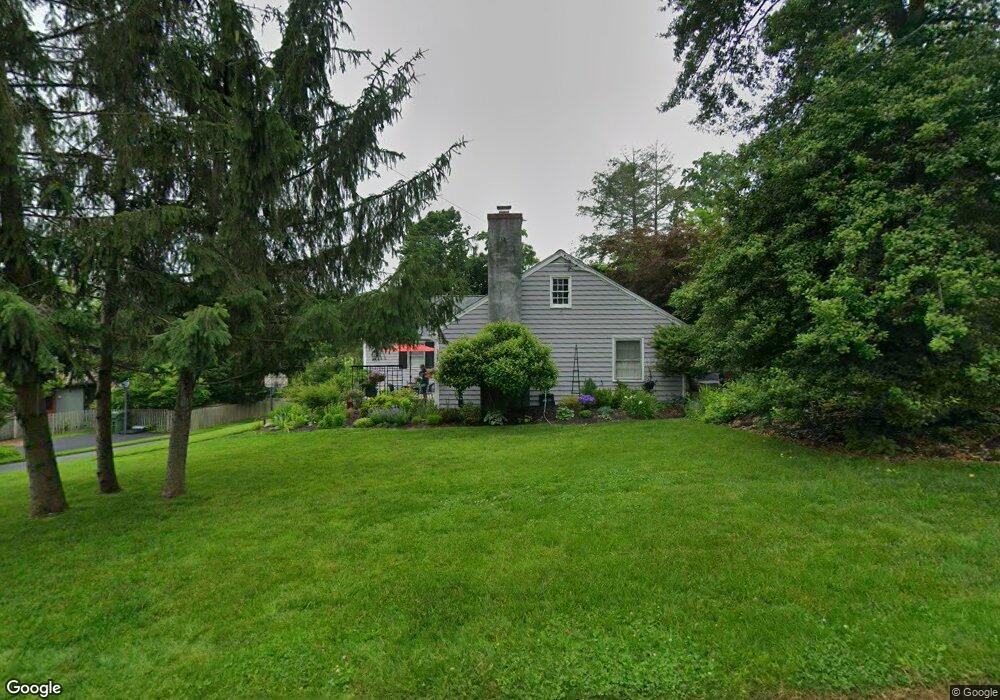
220 Locust Rd Fort Washington, PA 19034
Estimated Value: $706,739 - $800,000
4
Beds
2
Baths
2,471
Sq Ft
$298/Sq Ft
Est. Value
About This Home
This home is located at 220 Locust Rd, Fort Washington, PA 19034 and is currently estimated at $737,435, approximately $298 per square foot. 220 Locust Rd is a home located in Montgomery County with nearby schools including Fort Washington Elementary School, Sandy Run Middle School, and Upper Dublin High School.
Ownership History
Date
Name
Owned For
Owner Type
Purchase Details
Closed on
May 25, 2007
Sold by
Bogdan William R and Bogdan Donna L
Bought by
Haberbusch Thomas and Haberbusch Juliet
Current Estimated Value
Home Financials for this Owner
Home Financials are based on the most recent Mortgage that was taken out on this home.
Original Mortgage
$359,200
Outstanding Balance
$218,490
Interest Rate
6.17%
Estimated Equity
$518,945
Create a Home Valuation Report for This Property
The Home Valuation Report is an in-depth analysis detailing your home's value as well as a comparison with similar homes in the area
Home Values in the Area
Average Home Value in this Area
Purchase History
| Date | Buyer | Sale Price | Title Company |
|---|---|---|---|
| Haberbusch Thomas | $449,000 | None Available |
Source: Public Records
Mortgage History
| Date | Status | Borrower | Loan Amount |
|---|---|---|---|
| Open | Haberbusch Thomas | $359,200 |
Source: Public Records
Tax History Compared to Growth
Tax History
| Year | Tax Paid | Tax Assessment Tax Assessment Total Assessment is a certain percentage of the fair market value that is determined by local assessors to be the total taxable value of land and additions on the property. | Land | Improvement |
|---|---|---|---|---|
| 2025 | $10,714 | $219,690 | $64,910 | $154,780 |
| 2024 | $10,714 | $219,690 | $64,910 | $154,780 |
| 2023 | $10,463 | $219,690 | $64,910 | $154,780 |
| 2022 | $10,235 | $219,690 | $64,910 | $154,780 |
| 2021 | $9,980 | $219,690 | $64,910 | $154,780 |
| 2020 | $9,692 | $219,690 | $64,910 | $154,780 |
| 2019 | $9,530 | $219,690 | $64,910 | $154,780 |
| 2018 | $9,530 | $219,690 | $64,910 | $154,780 |
| 2017 | $9,182 | $219,690 | $64,910 | $154,780 |
| 2016 | $9,097 | $219,690 | $64,910 | $154,780 |
| 2015 | $8,592 | $219,690 | $64,910 | $154,780 |
| 2014 | $8,592 | $219,690 | $64,910 | $154,780 |
Source: Public Records
Map
Nearby Homes
- 120 N Bethlehem Pike Unit 301A
- 7238 Hollywood Rd
- 408 Summit Ave
- 231 Madison Ave
- 100 Ambler Rd
- 108 Brookwood Dr
- 0 Renfrew Ave
- 248 E Park Ave
- 514 Madison Ave
- 330 Highland Ave
- 401 Highland Ave
- 275 Woodcock Ln
- 232 Southern Ave
- 0 Mill Spring Dr
- 112 Mary Ambler Way
- 7292 Mill Spring Dr
- 522 Pennsylvania Ave
- 19 Orange Ave
- 210 S Chestnut St
- 1324 Highland Ave
- 216 Locust Rd
- 226 Locust Rd
- 221 N Bethlehem Pike
- 219 Locust Rd
- 212 Locust Rd
- 219 N Bethlehem Pike
- 228 Locust Rd
- 223 Locust Rd
- 225 N Bethlehem Pike
- 218 Elliger Ave
- 215 N Bethlehem Pike
- 210 Locust Rd
- 214 Elliger Ave
- 227 Locust Rd
- 230 Locust Rd
- 707 Spring Ave
- 208 Locust Rd
- 725 Spring Ave
- 229 N Bethlehem Pike
- 470 Ambler Rd