220 Mae Rd Salisbury, NC 28146
Estimated Value: $211,000 - $280,000
Studio
2
Baths
1,344
Sq Ft
$181/Sq Ft
Est. Value
About This Home
This home is located at 220 Mae Rd, Salisbury, NC 28146 and is currently estimated at $242,812, approximately $180 per square foot. 220 Mae Rd is a home located in Rowan County with nearby schools including China Grove Elementary School, Southeast Middle School, and Jesse C Carson High School.
Ownership History
Date
Name
Owned For
Owner Type
Purchase Details
Closed on
Nov 10, 2006
Sold by
Loflin Jerry Anthony and Loflin Sandra Geraldine
Bought by
Ballard Mark A and Ballard Benita S
Current Estimated Value
Purchase Details
Closed on
Jan 25, 2006
Sold by
Loflin Jerry Anthony and Loflin Sandra Geraldene
Bought by
Gmac Mortgage Corp
Create a Home Valuation Report for This Property
The Home Valuation Report is an in-depth analysis detailing your home's value as well as a comparison with similar homes in the area
Purchase History
| Date | Buyer | Sale Price | Title Company |
|---|---|---|---|
| Ballard Mark A | $45,000 | None Available | |
| Gmac Mortgage Corp | $34,929 | None Available |
Source: Public Records
Tax History
| Year | Tax Paid | Tax Assessment Tax Assessment Total Assessment is a certain percentage of the fair market value that is determined by local assessors to be the total taxable value of land and additions on the property. | Land | Improvement |
|---|---|---|---|---|
| 2025 | $1,068 | $159,361 | $27,492 | $131,869 |
| 2024 | $1,068 | $159,361 | $27,492 | $131,869 |
| 2023 | $1,068 | $159,361 | $27,492 | $131,869 |
| 2022 | $843 | $112,761 | $23,826 | $88,935 |
| 2021 | $837 | $112,761 | $23,826 | $88,935 |
| 2020 | $837 | $112,761 | $23,826 | $88,935 |
| 2019 | $837 | $112,761 | $23,826 | $88,935 |
| 2018 | $790 | $107,334 | $23,826 | $83,508 |
| 2017 | $790 | $107,334 | $23,826 | $83,508 |
| 2016 | $790 | $107,334 | $23,826 | $83,508 |
| 2015 | $802 | $107,334 | $23,826 | $83,508 |
| 2014 | $745 | $104,590 | $19,964 | $84,626 |
Source: Public Records
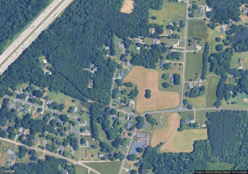
Map
Nearby Homes
- 620 Mount Hope Church Rd
- 1080 Beckham Rd
- 1060 Beckham Rd
- 1352 Eva Ln
- 0 Brookfield Cir Unit CAR4292885
- 5650 Bertie Ave
- 6255 Meadow Ln
- 1675 N Main St
- 1395 Safrit Rd
- 355 Swink Ave
- 425 Acorn Oaks Dr
- 410 Black Bear St Unit 153p
- 450 Black Bear St Unit 149p
- 179 Spring Oak Dr
- 460 Black Bear St Unit 148p
- 465 Black Bear St Unit 156p
- 491 White Hare Ln Unit 75
- 555 White Hare Ln Unit 80p
- 220 Yost Town Rd
- 0 Highway 152 E Unit 1200411
Your Personal Tour Guide
Ask me questions while you tour the home.