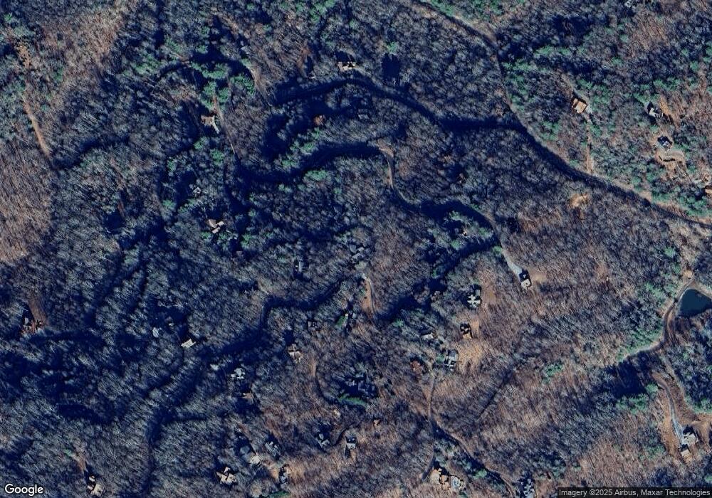
220 Mahoosec Trail Mineral Bluff, GA 30559
Estimated Value: $718,000 - $1,055,000
--
Bed
3
Baths
2,620
Sq Ft
$318/Sq Ft
Est. Value
About This Home
This home is located at 220 Mahoosec Trail, Mineral Bluff, GA 30559 and is currently estimated at $832,288, approximately $317 per square foot. 220 Mahoosec Trail is a home with nearby schools including Fannin County High School.
Ownership History
Date
Name
Owned For
Owner Type
Purchase Details
Closed on
Aug 10, 2018
Sold by
Martin Shannon Holmes
Bought by
Humphrey Jonathan and Humphrey Lori Ann
Current Estimated Value
Home Financials for this Owner
Home Financials are based on the most recent Mortgage that was taken out on this home.
Original Mortgage
$80,000
Outstanding Balance
$46,839
Interest Rate
4.5%
Mortgage Type
New Conventional
Estimated Equity
$785,449
Purchase Details
Closed on
Aug 18, 2005
Sold by
Jordie Construction Llc
Bought by
Holmes Martin Shannon
Purchase Details
Closed on
Feb 22, 2005
Sold by
Mountain High Builders Llc
Bought by
Jordie Construction Llc
Create a Home Valuation Report for This Property
The Home Valuation Report is an in-depth analysis detailing your home's value as well as a comparison with similar homes in the area
Home Values in the Area
Average Home Value in this Area
Purchase History
| Date | Buyer | Sale Price | Title Company |
|---|---|---|---|
| Humphrey Jonathan | $270,000 | -- | |
| Holmes Martin Shannon | $355,000 | -- | |
| Jordie Construction Llc | $60,000 | -- |
Source: Public Records
Mortgage History
| Date | Status | Borrower | Loan Amount |
|---|---|---|---|
| Open | Humphrey Jonathan | $80,000 |
Source: Public Records
Tax History Compared to Growth
Tax History
| Year | Tax Paid | Tax Assessment Tax Assessment Total Assessment is a certain percentage of the fair market value that is determined by local assessors to be the total taxable value of land and additions on the property. | Land | Improvement |
|---|---|---|---|---|
| 2024 | $2,990 | $326,248 | $63,000 | $263,248 |
| 2023 | $2,625 | $257,452 | $48,600 | $208,852 |
| 2022 | $2,560 | $251,098 | $37,200 | $213,898 |
| 2021 | $1,871 | $133,436 | $37,200 | $96,236 |
| 2020 | $1,691 | $118,663 | $34,000 | $84,663 |
| 2019 | $1,569 | $118,663 | $34,000 | $84,663 |
| 2018 | $1,791 | $116,255 | $34,000 | $82,255 |
| 2017 | $2,073 | $117,157 | $34,000 | $83,157 |
| 2016 | $1,830 | $107,726 | $34,000 | $73,726 |
| 2015 | $1,927 | $108,575 | $34,000 | $74,575 |
| 2014 | $2,106 | $136,344 | $34,000 | $102,344 |
| 2013 | -- | $118,383 | $34,000 | $84,383 |
Source: Public Records
Map
Nearby Homes
- Lot # 33 Mahoosec Trail
- 56 Kennebec Dr
- 469 Mountain High Dr
- 300 Katahdin Dr
- 2 Watson Gap Rd
- 1150 Mountain High Dr
- 395 Pontoosuc Dr
- Lot 79 Moosilaukee Dr
- 58 Moosilaukee Dr
- 1359 Mountain High Dr
- #242 Kittatinny Dr
- 18 Wawayanda Dr
- 89 Box Turtle Ln
- Lot 13 Rocking Chair Ridge
- Lot 11 Rocking Chair Ridge
- Lot 12 Rocking Chair Ridge
- Lot 5 Rocking Chair Ridge
- Lot 15 Rocking Chair Ridge
- Lot 7 Rocking Chair Ridge
- LOT 33 Mahoosec Trail
- 810 Mountain High Dr
- LT 98
- 60 Unaka Trail
- 149 Mahoosec Trail
- 149 Mahoosec Trail Unit 34
- 149 Mahoosec Trail
- 25 Unaka Trail
- 17 Unaka Trail
- LT 18 Unaka Trail
- LT 17 Unaka Trail
- 0 Unaka Trail Unit 19 7431419
- 0 Unaka Trail Unit 5520110
- 0 Unaka Trail Unit 7094614
- 670 Mountain High Dr
- 910 Mountain High Dr
- 136 Mahoosec Trail
- 72 Unaka Trail
- 15 Kennebec Dr
- 15 Kennebec Dr Unit 31
