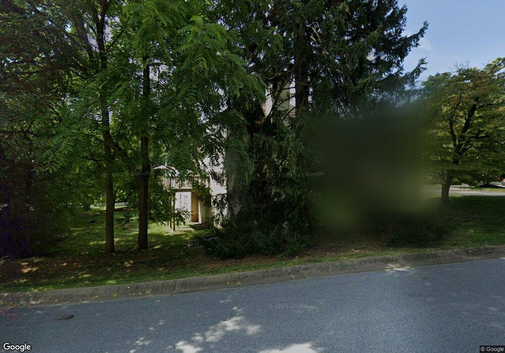
220 Mcintosh Rd Unit 1 West Chester, PA 19382
Estimated Value: $680,000 - $967,000
4
Beds
4
Baths
2,000
Sq Ft
$411/Sq Ft
Est. Value
About This Home
This home is located at 220 Mcintosh Rd Unit 1, West Chester, PA 19382 and is currently estimated at $822,465, approximately $411 per square foot. 220 Mcintosh Rd Unit 1 is a home located in Chester County with nearby schools including Hillsdale Elementary School, E.N. Peirce Middle School, and Henderson High School.
Ownership History
Date
Name
Owned For
Owner Type
Purchase Details
Closed on
Jun 4, 2007
Sold by
Robal Associates Inc
Bought by
Knapp Mary M and Knapp Bruce A
Current Estimated Value
Home Financials for this Owner
Home Financials are based on the most recent Mortgage that was taken out on this home.
Original Mortgage
$356,000
Outstanding Balance
$217,834
Interest Rate
6.19%
Mortgage Type
Purchase Money Mortgage
Estimated Equity
$604,631
Create a Home Valuation Report for This Property
The Home Valuation Report is an in-depth analysis detailing your home's value as well as a comparison with similar homes in the area
Home Values in the Area
Average Home Value in this Area
Purchase History
| Date | Buyer | Sale Price | Title Company |
|---|---|---|---|
| Knapp Mary M | $445,000 | None Available |
Source: Public Records
Mortgage History
| Date | Status | Borrower | Loan Amount |
|---|---|---|---|
| Open | Knapp Mary M | $356,000 |
Source: Public Records
Tax History Compared to Growth
Tax History
| Year | Tax Paid | Tax Assessment Tax Assessment Total Assessment is a certain percentage of the fair market value that is determined by local assessors to be the total taxable value of land and additions on the property. | Land | Improvement |
|---|---|---|---|---|
| 2025 | $6,682 | $230,510 | $83,860 | $146,650 |
| 2024 | $6,682 | $230,510 | $83,860 | $146,650 |
| 2023 | $6,624 | $230,510 | $83,860 | $146,650 |
| 2022 | $6,538 | $230,510 | $83,860 | $146,650 |
| 2021 | $6,388 | $230,510 | $83,860 | $146,650 |
| 2020 | $6,346 | $230,510 | $83,860 | $146,650 |
| 2019 | $6,141 | $230,510 | $83,860 | $146,650 |
| 2018 | $6,006 | $230,510 | $83,860 | $146,650 |
| 2017 | $5,870 | $230,510 | $83,860 | $146,650 |
| 2016 | $5,023 | $230,510 | $83,860 | $146,650 |
| 2015 | $5,023 | $230,510 | $83,860 | $146,650 |
| 2014 | $5,023 | $230,510 | $83,860 | $146,650 |
Source: Public Records
Map
Nearby Homes
- 722 Scotch Way Unit C-26
- 368 Star Tavern Ln
- 303 Star Tavern Ln
- 345 Star Tavern Ln
- 324 Star Tavern Ln
- 765 Bradford Terrace Unit 238
- 523 Raymond Dr Unit 46
- 506 Raymond Dr Unit 4
- 216 Yorkminster Rd Unit 1502
- 164 Mansion House Dr Unit 401A
- 759 Brettingham Ct Unit 505C
- 443 W Gay St
- 433 W Gay St
- 505 S Maryland Ave
- 418 Hannum Ave
- 303 W Washington St
- 401 W Barnard St
- 314 Mayfield Ave
- 744 Mccardle Dr Unit 35
- 751 Mccardle Dr Unit 27
- 222 Mcintosh Rd
- 224 Mcintosh Rd Unit 3
- 226 Mcintosh Rd Unit 4
- 706 Scotch Way Unit 18
- 718 Scotch Way Unit 28
- 702 Scotch Way Unit 20
- 720 Scotch Way
- 722 Scotch Way
- 704 Scotch Way Unit 17
- 716 Scotch Way Unit 27
- 700 Scotch Way Unit 19
- 751 Scotch Way
- 708 Scotch Way Unit 21
- 753 Scotch Way
- 730 Scotch Way Unit 34
- 710 Scotch Way Unit 22
- 732 Scotch Way Unit 29
- 755 Scotch Way
- 726 Scotch Way
- 724 Scotch Way