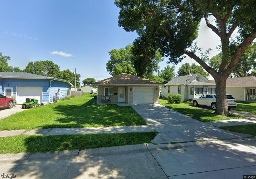
220 Miller Ave Norfolk, NE 68701
Estimated Value: $144,000 - $221,000
2
Beds
1
Bath
1,116
Sq Ft
$165/Sq Ft
Est. Value
About This Home
This home is located at 220 Miller Ave, Norfolk, NE 68701 and is currently estimated at $183,903, approximately $164 per square foot. 220 Miller Ave is a home with nearby schools including Norfolk Senior High School, Christ Lutheran School, and Keystone Christian Academy.
Ownership History
Date
Name
Owned For
Owner Type
Purchase Details
Closed on
Dec 16, 2011
Sold by
Norfolk Area Habitat For Humanity Inc
Bought by
Parkos Donald
Current Estimated Value
Home Financials for this Owner
Home Financials are based on the most recent Mortgage that was taken out on this home.
Original Mortgage
$76,886
Outstanding Balance
$54,157
Interest Rate
3.25%
Mortgage Type
USDA
Estimated Equity
$129,746
Purchase Details
Closed on
May 26, 2006
Sold by
Kielty Tom and Kielty Carolyn
Bought by
Norfolk Area Habitat For~Humanity I
Create a Home Valuation Report for This Property
The Home Valuation Report is an in-depth analysis detailing your home's value as well as a comparison with similar homes in the area
Home Values in the Area
Average Home Value in this Area
Purchase History
| Date | Buyer | Sale Price | Title Company |
|---|---|---|---|
| Parkos Donald | $97,000 | Rels Title | |
| Norfolk Area Habitat For~Humanity I | $12,000 | -- |
Source: Public Records
Mortgage History
| Date | Status | Borrower | Loan Amount |
|---|---|---|---|
| Open | Parkos Donald | $76,886 |
Source: Public Records
Tax History Compared to Growth
Tax History
| Year | Tax Paid | Tax Assessment Tax Assessment Total Assessment is a certain percentage of the fair market value that is determined by local assessors to be the total taxable value of land and additions on the property. | Land | Improvement |
|---|---|---|---|---|
| 2024 | $2,830 | $166,573 | $3,424 | $163,149 |
| 2023 | $2,830 | $153,102 | $3,424 | $149,678 |
| 2022 | $2,541 | $137,065 | $3,424 | $133,641 |
| 2021 | $2,332 | $126,030 | $3,424 | $122,606 |
| 2020 | $2,138 | $115,907 | $3,424 | $112,483 |
| 2019 | $2,036 | $106,619 | $3,424 | $103,195 |
| 2018 | $2,003 | $106,619 | $3,424 | $103,195 |
| 2017 | $1,797 | $95,562 | $3,424 | $92,138 |
| 2016 | $1,667 | $88,483 | $3,170 | $85,313 |
| 2015 | $1,668 | $88,483 | $3,170 | $85,313 |
| 2014 | $1,639 | $84,420 | $3,170 | $81,250 |
| 2013 | $1,692 | $84,420 | $3,170 | $81,250 |
Source: Public Records
Map
Nearby Homes
- 1406 S 2nd St
- 1405 S 2nd St
- 1303 S 3rd St
- 2208 S 1st St
- 1104 S 2nd St
- 922 S 2nd St
- 918 S 5th St
- 906 S 4th St
- 1104 Southern Dr
- 809 S 1st St
- 805 S 5th St
- 700 S 2nd St
- 3307 W Michigan Ave
- 3206 W Michigan Ave
- 3205 W Michigan Ave
- 3306 W Michigan Ave
- 705 S 10th St
- 804 Volkman Dr
- 506 S 1st St
- 501 E Pasewalk Ave
- 218 Miller Ave
- 222 Miller Ave
- 216 Miller Ave
- 224 Miller Ave
- 214 Miller Ave
- 219 Jefferson Ave
- 221 Jefferson Ave
- 217 Jefferson Ave
- 223 Jefferson Ave
- 215 Jefferson Ave
- 219 Miller Ave
- 225 Jefferson Ave
- 213 Jefferson Ave
- 228 Miller Ave
- 225 Miller Ave
- 227 Jefferson Ave
- 211 Jefferson Ave
- 229 Jefferson Ave
- 227 Miller Ave
- 204 Miller Ave