220 Mitchell g Dr Tewksbury, MA 01876
Estimated Value: $915,269 - $1,118,000
4
Beds
3
Baths
2,740
Sq Ft
$382/Sq Ft
Est. Value
About This Home
This home is located at 220 Mitchell g Dr, Tewksbury, MA 01876 and is currently estimated at $1,047,567, approximately $382 per square foot. 220 Mitchell g Dr is a home located in Middlesex County with nearby schools including John F. Ryan Elementary School, John W. Wynn Middle School, and Tewksbury Memorial High School.
Ownership History
Date
Name
Owned For
Owner Type
Purchase Details
Closed on
Sep 15, 2023
Sold by
Pierce Kevin L
Bought by
Pierce Mitchell G Dr Rt and Pierce
Current Estimated Value
Purchase Details
Closed on
Aug 13, 1997
Sold by
Eagles Point Dev Corp
Bought by
Pierce Kevin J
Create a Home Valuation Report for This Property
The Home Valuation Report is an in-depth analysis detailing your home's value as well as a comparison with similar homes in the area
Home Values in the Area
Average Home Value in this Area
Purchase History
| Date | Buyer | Sale Price | Title Company |
|---|---|---|---|
| Pierce Mitchell G Dr Rt | -- | None Available | |
| Pierce Kevin J | $289,900 | -- |
Source: Public Records
Mortgage History
| Date | Status | Borrower | Loan Amount |
|---|---|---|---|
| Previous Owner | Pierce Kevin J | $330,000 | |
| Previous Owner | Pierce Kevin J | $70,000 | |
| Previous Owner | Pierce Kevin J | $330,000 |
Source: Public Records
Tax History Compared to Growth
Tax History
| Year | Tax Paid | Tax Assessment Tax Assessment Total Assessment is a certain percentage of the fair market value that is determined by local assessors to be the total taxable value of land and additions on the property. | Land | Improvement |
|---|---|---|---|---|
| 2025 | $10,712 | $810,300 | $336,400 | $473,900 |
| 2024 | $10,423 | $778,400 | $320,400 | $458,000 |
| 2023 | $10,121 | $717,800 | $291,400 | $426,400 |
| 2022 | $9,667 | $636,000 | $253,400 | $382,600 |
| 2021 | $9,544 | $607,100 | $230,400 | $376,700 |
| 2020 | $9,652 | $589,100 | $219,400 | $369,700 |
| 2019 | $8,722 | $550,600 | $208,800 | $341,800 |
| 2018 | $8,694 | $520,100 | $208,800 | $311,300 |
| 2017 | $8,646 | $530,100 | $208,800 | $321,300 |
| 2016 | $8,195 | $501,200 | $208,800 | $292,400 |
| 2015 | $8,016 | $489,700 | $208,800 | $280,900 |
| 2014 | $7,659 | $475,400 | $217,600 | $257,800 |
Source: Public Records
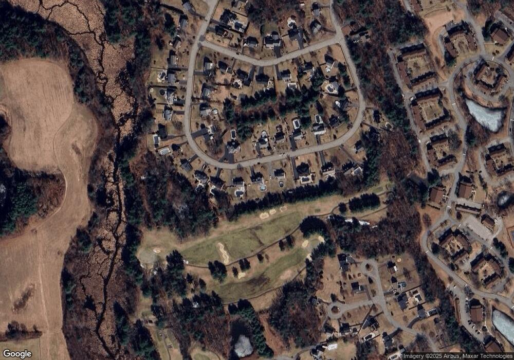
Map
Nearby Homes
- 71 Apache Way Unit 71
- 109 Apache Way
- 261 Apache Way
- 906 Old Shawsheen St
- 127 Caddy Ct
- 93 Fairway Dr
- 110 Royal Crest Cir
- 7 Wamesit Rd
- 16 Eagle Dr
- 6 Stonebury Way Unit 6
- 14 Hinckley Rd
- 111 Patrick Rd Unit 111
- 72 Patrick Rd Unit 72
- 142 Patrick Rd
- 61 Patrick Rd
- 5 Kensington Way Unit 5
- 1418 Main St Unit 201
- 1455 Main St Unit 4
- 1455 Main St Unit 10
- 1455 Main St Unit 8
- 230 Mitchell g Dr
- 210 Mitchell g Dr
- 221 Mitchell g Dr
- 234 Mitchell g Dr
- 231 Mitchell g Dr
- 200 Mitchell g Dr
- 211 Mitchell g Dr
- 201 Mitchell g Dr
- 238 Mitchell g Dr
- 241 Mitchell g Dr
- 196 Mitchell g Dr
- 242 Mitchell g Dr
- 191 Mitchell g Dr
- 253 Mitchell g Dr
- 246 Mitchell g Dr
- 190 Mitchell g Dr
- 40 Sciarappa Way
- 44 Sciarappa Way
- 181 Mitchell g Dr
- 250 Mitchell g Dr