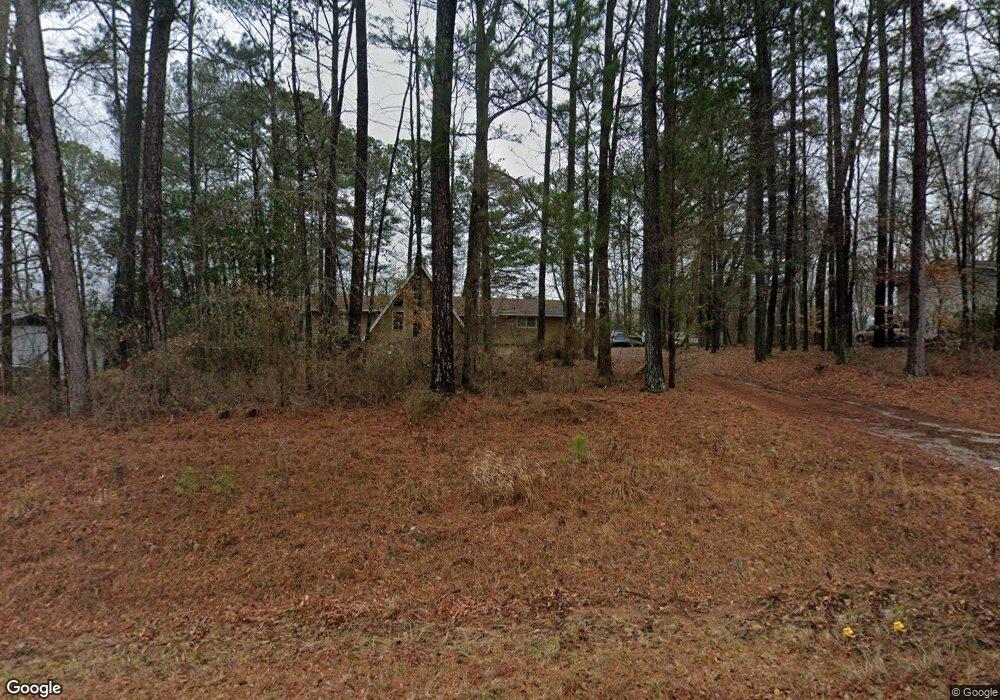
220 Mount Tabor Rd Covington, GA 30014
Estimated Value: $198,781 - $230,000
--
Bed
2
Baths
1,522
Sq Ft
$140/Sq Ft
Est. Value
About This Home
This home is located at 220 Mount Tabor Rd, Covington, GA 30014 and is currently estimated at $213,195, approximately $140 per square foot. 220 Mount Tabor Rd is a home located in Newton County with nearby schools including Newton County Theme School at Ficquett, Cousins Middle School, and Newton High School.
Ownership History
Date
Name
Owned For
Owner Type
Purchase Details
Closed on
Mar 28, 2024
Sold by
Raymond Janice Spence
Bought by
Raymond Ned C
Current Estimated Value
Purchase Details
Closed on
Mar 23, 2001
Sold by
Raymond Ned C
Bought by
Raymond Ned C and Raymond Janice S
Home Financials for this Owner
Home Financials are based on the most recent Mortgage that was taken out on this home.
Original Mortgage
$90,000
Interest Rate
7.02%
Mortgage Type
New Conventional
Create a Home Valuation Report for This Property
The Home Valuation Report is an in-depth analysis detailing your home's value as well as a comparison with similar homes in the area
Home Values in the Area
Average Home Value in this Area
Purchase History
| Date | Buyer | Sale Price | Title Company |
|---|---|---|---|
| Raymond Ned C | -- | -- | |
| Raymond Ned C | $270,000 | -- |
Source: Public Records
Mortgage History
| Date | Status | Borrower | Loan Amount |
|---|---|---|---|
| Previous Owner | Raymond Ned C | $90,000 |
Source: Public Records
Tax History Compared to Growth
Tax History
| Year | Tax Paid | Tax Assessment Tax Assessment Total Assessment is a certain percentage of the fair market value that is determined by local assessors to be the total taxable value of land and additions on the property. | Land | Improvement |
|---|---|---|---|---|
| 2025 | $1,711 | $78,160 | $11,200 | $66,960 |
| 2024 | $1,458 | $61,400 | $11,200 | $50,200 |
| 2023 | $1,375 | $54,560 | $6,200 | $48,360 |
| 2022 | $1,038 | $42,120 | $6,200 | $35,920 |
| 2021 | $1,004 | $37,000 | $6,200 | $30,800 |
| 2020 | $1,169 | $38,680 | $6,200 | $32,480 |
| 2019 | $1,016 | $33,680 | $4,000 | $29,680 |
| 2018 | $984 | $32,560 | $4,000 | $28,560 |
| 2017 | $953 | $31,640 | $4,000 | $27,640 |
| 2016 | $822 | $27,840 | $4,400 | $23,440 |
| 2015 | $665 | $23,280 | $4,400 | $18,880 |
| 2014 | $432 | $16,480 | $0 | $0 |
Source: Public Records
Map
Nearby Homes
- 195 Mccord St
- 0 Mount Tabor Rd Unit 10560482
- 2423 Access Rd
- 560 Mount Tabor Rd
- 80 Heyman Dr Unit 11
- 00 Mount Tabor Rd
- 110 Helm Dr
- 140 Helm Dr
- 760 Almon Rd
- 359 Riverwalk Farm Pwy Unit 7
- 428 River Walk Farm
- 3462 Fairview Rd
- 90 Streamside Dr
- 210 Silver Ridge Rd
- 60 Silver Peak Dr
- 190 Silver Ridge Rd
- 50 Evelyn Rd
- 275 Fairview Chase Unit 1
- 20 Fair Forest Terrace
- 30 Fair Forest Terrace
- 232 Mount Tabor Rd
- 208 Mount Tabor Rd
- 10 River Watch Dr
- 209 Mount Tabor Rd
- 246 Mount Tabor Rd
- 223 Mount Tabor Rd
- 201 Mount Tabor Rd
- 186 Mount Tabor Rd
- 0 River Watch Dr Unit SEVERAL 7277276
- 15 Luke Ln Unit 2
- 15 Luke Ln
- 20 River Watch Dr
- 25 Luke Ln
- 156 Mount Tabor Rd
- 35 Luke Ln
- 200 Mccord St
- 45 Luke Ln
- 144 Mount Tabor Rd
- 55 Luke Ln
- 35 Red River Ct