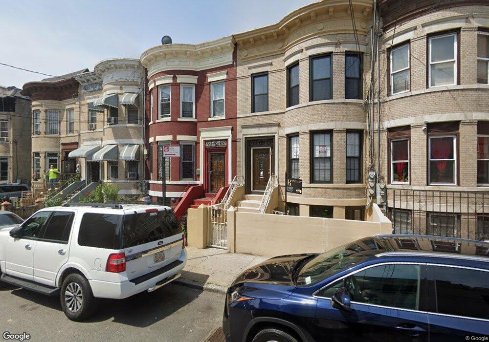
220 New Jersey Ave Brooklyn, NY 11207
East New York NeighborhoodEstimated Value: $743,396 - $981,000
--
Bed
--
Bath
1,970
Sq Ft
$457/Sq Ft
Est. Value
About This Home
This home is located at 220 New Jersey Ave, Brooklyn, NY 11207 and is currently estimated at $900,349, approximately $457 per square foot. 220 New Jersey Ave is a home located in Kings County with nearby schools including P.S. 149 Danny Kaye, Vista Academy, and Liberty Avenue Middle School.
Ownership History
Date
Name
Owned For
Owner Type
Purchase Details
Closed on
Feb 28, 2012
Sold by
Degrey Marva D
Bought by
Samad Dean and Samad Kaamila
Current Estimated Value
Home Financials for this Owner
Home Financials are based on the most recent Mortgage that was taken out on this home.
Original Mortgage
$299,217
Outstanding Balance
$206,714
Interest Rate
3.99%
Mortgage Type
New Conventional
Estimated Equity
$693,635
Create a Home Valuation Report for This Property
The Home Valuation Report is an in-depth analysis detailing your home's value as well as a comparison with similar homes in the area
Home Values in the Area
Average Home Value in this Area
Purchase History
| Date | Buyer | Sale Price | Title Company |
|---|---|---|---|
| Samad Dean | $307,000 | -- |
Source: Public Records
Mortgage History
| Date | Status | Borrower | Loan Amount |
|---|---|---|---|
| Open | Samad Dean | $299,217 |
Source: Public Records
Tax History Compared to Growth
Tax History
| Year | Tax Paid | Tax Assessment Tax Assessment Total Assessment is a certain percentage of the fair market value that is determined by local assessors to be the total taxable value of land and additions on the property. | Land | Improvement |
|---|---|---|---|---|
| 2025 | $4,224 | $52,920 | $17,280 | $35,640 |
| 2024 | $4,224 | $52,080 | $17,280 | $34,800 |
| 2023 | $4,031 | $52,080 | $17,280 | $34,800 |
| 2022 | $3,740 | $52,080 | $17,280 | $34,800 |
| 2021 | $3,725 | $47,700 | $17,280 | $30,420 |
| 2020 | $1,849 | $49,680 | $17,280 | $32,400 |
| 2019 | $3,666 | $44,280 | $17,280 | $27,000 |
| 2018 | $3,371 | $16,539 | $6,368 | $10,171 |
| 2017 | $3,183 | $15,614 | $7,495 | $8,119 |
| 2016 | $2,948 | $14,748 | $8,361 | $6,387 |
| 2015 | $1,125 | $14,727 | $9,240 | $5,487 |
| 2014 | $1,125 | $14,604 | $10,339 | $4,265 |
Source: Public Records
Map
Nearby Homes
- 159 Wyona St
- 243 Wyona St
- 207 Bradford St
- 90 Wyona St
- 34&36 Marginal St
- 174 van Siclen Ave
- 168 Miller Ave
- 57 Wyona St
- 45 Hinsdale St
- 2735 Fulton St
- 459 Belmont Ave
- 297 Pennsylvania Ave
- 52 Bradford St
- 2210 Pitkin Ave
- 35 Wyona St
- 22 Hinsdale St
- 279 van Siclen Ave
- 317 Pennsylvania Ave
- 342 Wyona St
- 303 Hendrix St
- 222 New Jersey Ave
- 218 New Jersey Ave
- 218 New Jersey Ave Unit 2
- 216 New Jersey Ave
- 383 Liberty Ave Unit 1
- 383 Liberty Ave
- 224 New Jersey Ave
- 228 New Jersey Ave
- 384 Liberty Ave Unit 2
- 384 Liberty Ave
- 230 New Jersey Ave
- 234 New Jersey Ave
- 141 Pennsylvania Ave
- 206 New Jersey Ave
- 236 New Jersey Ave Unit 16
- 236 New Jersey Ave Unit 14
- 236 New Jersey Ave Unit 5
- 236 New Jersey Ave Unit 12
- 236 New Jersey Ave Unit 11
- 236 New Jersey Ave Unit 2