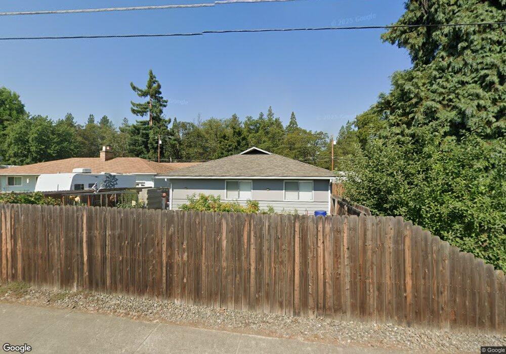
220 Oak Grove Rd Medford, OR 97501
West Main NeighborhoodEstimated Value: $372,640 - $461,000
3
Beds
3
Baths
1,660
Sq Ft
$246/Sq Ft
Est. Value
About This Home
This home is located at 220 Oak Grove Rd, Medford, OR 97501 and is currently estimated at $408,410, approximately $246 per square foot. 220 Oak Grove Rd is a home located in Jackson County with nearby schools including Oak Grove Elementary School, McLoughlin Middle School, and South Medford High School.
Ownership History
Date
Name
Owned For
Owner Type
Purchase Details
Closed on
May 28, 1999
Sold by
Fitzpatrick William B and Fitzpatrick Carol S
Bought by
Struthers Tim and Struthers Carol
Current Estimated Value
Home Financials for this Owner
Home Financials are based on the most recent Mortgage that was taken out on this home.
Original Mortgage
$121,600
Outstanding Balance
$31,674
Interest Rate
6.9%
Estimated Equity
$376,736
Create a Home Valuation Report for This Property
The Home Valuation Report is an in-depth analysis detailing your home's value as well as a comparison with similar homes in the area
Home Values in the Area
Average Home Value in this Area
Purchase History
| Date | Buyer | Sale Price | Title Company |
|---|---|---|---|
| Struthers Tim | $152,000 | Jackson County Title |
Source: Public Records
Mortgage History
| Date | Status | Borrower | Loan Amount |
|---|---|---|---|
| Open | Struthers Tim | $121,600 |
Source: Public Records
Tax History Compared to Growth
Tax History
| Year | Tax Paid | Tax Assessment Tax Assessment Total Assessment is a certain percentage of the fair market value that is determined by local assessors to be the total taxable value of land and additions on the property. | Land | Improvement |
|---|---|---|---|---|
| 2025 | $2,635 | $223,640 | $120,240 | $103,400 |
| 2024 | $2,635 | $217,130 | $116,740 | $100,390 |
| 2023 | $2,553 | $210,810 | $113,340 | $97,470 |
| 2022 | $2,494 | $210,810 | $113,340 | $97,470 |
| 2021 | $2,431 | $204,670 | $110,030 | $94,640 |
| 2020 | $2,374 | $198,710 | $106,830 | $91,880 |
| 2019 | $2,321 | $187,320 | $100,710 | $86,610 |
| 2018 | $2,263 | $181,870 | $97,770 | $84,100 |
| 2017 | $2,227 | $181,870 | $97,770 | $84,100 |
| 2016 | $2,186 | $171,440 | $92,160 | $79,280 |
| 2015 | $2,093 | $171,440 | $92,160 | $79,280 |
| 2014 | $2,036 | $161,610 | $86,870 | $74,740 |
Source: Public Records
Map
Nearby Homes
- 2775 Steadman Ave
- 2759 Steadman Ave
- 2767 Steadman Ave
- 2751 Steadman Ave
- 2735 Steadman Ave
- 2727 Steadman Ave
- 2711 Steadman Ave
- 2703 Steadman Ave
- 2736 Addysen Park Way
- 241 Cherry Bark Ln
- 2728 Addysen Park Way
- Kenton Plan at Addysen Park
- Moreland Plan at Addysen Park
- Berkshire Plan at Addysen Park
- Pacific Plan at Addysen Park
- Shasta Plan at Addysen Park
- Newport Plan at Addysen Park
- Maple Plan at Addysen Park
- 2776 Addysen Park Way
- 2712 Addysen Park Way
- 224 Oak Grove Rd
- 238 Oak Grove Rd
- 145 Renault Ave
- 157 Renault Ave
- 111 Renault Ave
- 282 Oak Grove Rd
- 165 Renault Ave
- 124 Oak Grove Rd
- 169 Oak Grove Rd
- 91 Renault Ave
- 314 Oak Grove Rd
- 102 Oak Grove Rd
- 73 Renault Ave
- 326 Oak Grove Rd
- 126 Renault Ave
- 158 Renault Ave
- 110 Renault Ave
- 215 Renault Ave
- 88 Oak Grove Rd
- 184 Renault Ave