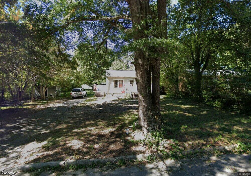
220 Paramount St High Point, NC 27260
Greater High Point NeighborhoodEstimated Value: $102,669 - $137,000
2
Beds
1
Bath
896
Sq Ft
$130/Sq Ft
Est. Value
About This Home
This home is located at 220 Paramount St, High Point, NC 27260 and is currently estimated at $116,167, approximately $129 per square foot. 220 Paramount St is a home located in Guilford County with nearby schools including Union Hill Elementary School, Jamestown Middle School, and Ragsdale High School.
Ownership History
Date
Name
Owned For
Owner Type
Purchase Details
Closed on
Jan 24, 2008
Bought by
Thavone Steve My
Current Estimated Value
Purchase Details
Closed on
Sep 26, 2006
Sold by
Thavone Vinh
Bought by
Thavone Steve My
Home Financials for this Owner
Home Financials are based on the most recent Mortgage that was taken out on this home.
Original Mortgage
$44,000
Interest Rate
6.48%
Mortgage Type
Purchase Money Mortgage
Create a Home Valuation Report for This Property
The Home Valuation Report is an in-depth analysis detailing your home's value as well as a comparison with similar homes in the area
Home Values in the Area
Average Home Value in this Area
Purchase History
| Date | Buyer | Sale Price | Title Company |
|---|---|---|---|
| Thavone Steve My | -- | -- | |
| Thavone Steve My | -- | None Available |
Source: Public Records
Mortgage History
| Date | Status | Borrower | Loan Amount |
|---|---|---|---|
| Previous Owner | Thavone Steve My | $44,000 |
Source: Public Records
Tax History
| Year | Tax Paid | Tax Assessment Tax Assessment Total Assessment is a certain percentage of the fair market value that is determined by local assessors to be the total taxable value of land and additions on the property. | Land | Improvement |
|---|---|---|---|---|
| 2025 | $677 | $49,100 | $10,000 | $39,100 |
| 2024 | $677 | $49,100 | $10,000 | $39,100 |
| 2023 | $677 | $49,100 | $10,000 | $39,100 |
| 2022 | $662 | $49,100 | $10,000 | $39,100 |
| 2021 | $423 | $30,700 | $7,000 | $23,700 |
| 2020 | $423 | $30,700 | $7,000 | $23,700 |
| 2019 | $423 | $30,700 | $0 | $0 |
| 2018 | $421 | $30,700 | $0 | $0 |
| 2017 | $423 | $30,700 | $0 | $0 |
| 2016 | $438 | $31,200 | $0 | $0 |
| 2015 | $440 | $31,200 | $0 | $0 |
| 2014 | $447 | $31,200 | $0 | $0 |
Source: Public Records
Map
Nearby Homes
- 206 Paramount St
- 404 Hickory Chapel Rd
- 210 Paramount St
- 2305 Delaware Place
- 2715 Central Ave
- 930 & 928 R1 Marlboro St
- 737 Hendrix St
- 735 Hendrix St
- 3304 Central Ave
- 928 Marlboro St
- 3003 #REAR Oakcrest Ave
- 709 Habersham Rd
- 3215 E Martin Luther King Junior Dr
- 615 Hendrix St
- 600 Hendrix St
- 3335 Wiliton Way
- 430 New St
- 1451 Finsbury Ln
- 2317 Purdy Ave
- 1707 Brockett Ave
- 218 Paramount St
- 216 Paramount St
- 209 Lawndale Ave
- 211 Lawndale Ave
- 207 Lawndale Ave
- 227 Avondale St
- 225 Paramount St
- 223 Avondale St
- 214 Paramount St
- 223 Paramount St
- 201 Lawndale Ave
- 219 Avondale St
- 217 Paramount St
- 217 Avondale St
- 215 Paramount St
- 300 Lawndale Ave
- 206 Lawndale Ave
- 208 Lawndale Ave
- 204 Lawndale Ave
- 302 Lawndale Ave
Your Personal Tour Guide
Ask me questions while you tour the home.