220 Pine Tree Ln Weatherly, PA 18255
Estimated Value: $172,000 - $249,000
2
Beds
1
Bath
1,275
Sq Ft
$154/Sq Ft
Est. Value
About This Home
This home is located at 220 Pine Tree Ln, Weatherly, PA 18255 and is currently estimated at $196,778, approximately $154 per square foot. 220 Pine Tree Ln is a home located in Carbon County with nearby schools including Weatherly Elementary/ Middle School and Weatherly Area Senior High School.
Ownership History
Date
Name
Owned For
Owner Type
Purchase Details
Closed on
Jan 22, 2021
Sold by
Gerhard John Austin and Estate Of Patricia R Gerhard
Bought by
Halechko Dustin
Current Estimated Value
Home Financials for this Owner
Home Financials are based on the most recent Mortgage that was taken out on this home.
Original Mortgage
$109,283
Outstanding Balance
$97,467
Interest Rate
2.67%
Mortgage Type
FHA
Estimated Equity
$99,311
Purchase Details
Closed on
Apr 30, 1975
Bought by
Gerhard Grover R and Gerhard Patricia R
Create a Home Valuation Report for This Property
The Home Valuation Report is an in-depth analysis detailing your home's value as well as a comparison with similar homes in the area
Home Values in the Area
Average Home Value in this Area
Purchase History
| Date | Buyer | Sale Price | Title Company |
|---|---|---|---|
| Halechko Dustin | $111,300 | Steelhouse Abstract Inc | |
| Gerhard Grover R | -- | -- |
Source: Public Records
Mortgage History
| Date | Status | Borrower | Loan Amount |
|---|---|---|---|
| Open | Halechko Dustin | $109,283 |
Source: Public Records
Tax History Compared to Growth
Tax History
| Year | Tax Paid | Tax Assessment Tax Assessment Total Assessment is a certain percentage of the fair market value that is determined by local assessors to be the total taxable value of land and additions on the property. | Land | Improvement |
|---|---|---|---|---|
| 2025 | $2,739 | $39,650 | $9,600 | $30,050 |
| 2024 | $2,575 | $39,650 | $9,600 | $30,050 |
| 2023 | $2,486 | $39,650 | $9,600 | $30,050 |
| 2022 | $2,486 | $39,650 | $9,600 | $30,050 |
| 2021 | $2,446 | $39,650 | $9,600 | $30,050 |
| 2020 | $2,446 | $39,650 | $9,600 | $30,050 |
| 2019 | $2,309 | $39,650 | $9,600 | $30,050 |
| 2018 | $2,253 | $39,650 | $9,600 | $30,050 |
| 2017 | $2,193 | $39,650 | $9,600 | $30,050 |
| 2016 | -- | $39,650 | $9,600 | $30,050 |
| 2015 | -- | $39,650 | $9,600 | $30,050 |
| 2014 | -- | $39,650 | $9,600 | $30,050 |
Source: Public Records
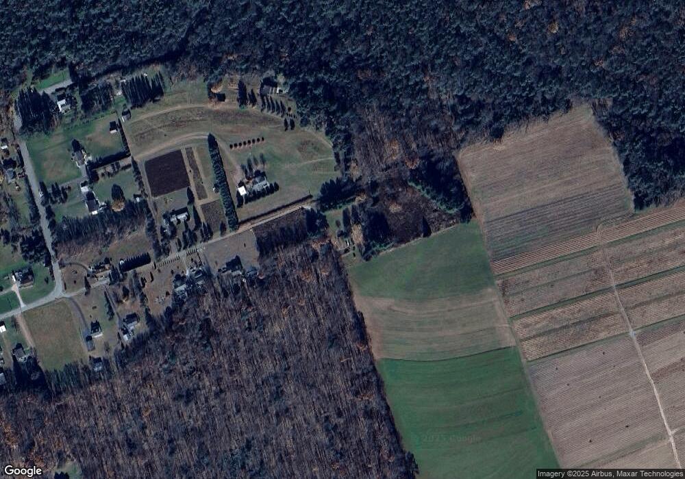
Map
Nearby Homes
- 751 Hudson Dr
- 1586 Spring Mountain Rd
- 97 Broad St
- 0 Grist Mill Drive Lot Unit WP001
- 135 Dean St
- 0 Grist Mill Dr
- 44 Berwick St
- 374 Packer Dr
- Lot C1.13 Packer Dr
- 0 Packer Dr
- 419 Sand Spring Rd
- 462 Plane St
- 546 W Main St
- 25 Franklin St
- 327 Entwistle St
- 220 Entwistle St
- 2001 E Broad St
- 100 Monroe Ct
- 333 Carbon St
- 631 3rd St
- 185 Gerhard Ln
- 1979 Wetzel Run Dr
- 68 Pine Tree Ln
- 140 Pine Tree Ln
- 1707 Wetzel Run Dr
- 38 Pine Tree Ln
- 1753 Wetzel Run Dr
- 10 Pine Tree Ln
- 1801 Wetzel Run Dr
- 30 Wetzel Run Dr
- WP001 Wetzel Run Dr
- 0 Wetzel Run Dr Unit PM-85297
- 0 Wetzel Run Dr Unit 13-1300
- 0 Wetzel Run Dr Unit PM-12886
- 0 Wetzel Run Dr
- 1867 Wetzel Run Dr
- 1680 Wetzel Run Dr
- 1790 Wetzel Run Dr
- 1665 Wetzel Run Dr
- 1637 Wetzel Run Dr