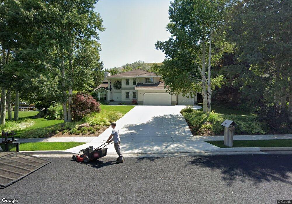
220 Quail Way Logan, UT 84321
Wilson NeighborhoodEstimated Value: $578,000 - $693,000
4
Beds
3
Baths
3,758
Sq Ft
$173/Sq Ft
Est. Value
About This Home
This home is located at 220 Quail Way, Logan, UT 84321 and is currently estimated at $649,671, approximately $172 per square foot. 220 Quail Way is a home located in Cache County with nearby schools including Wilson School, Mount Logan Middle School, and Logan High School.
Ownership History
Date
Name
Owned For
Owner Type
Purchase Details
Closed on
Oct 1, 2008
Sold by
Ca Fullmer Family Llc
Bought by
Bair Robert
Current Estimated Value
Home Financials for this Owner
Home Financials are based on the most recent Mortgage that was taken out on this home.
Original Mortgage
$325,000
Outstanding Balance
$247,693
Interest Rate
10%
Mortgage Type
Purchase Money Mortgage
Estimated Equity
$401,978
Create a Home Valuation Report for This Property
The Home Valuation Report is an in-depth analysis detailing your home's value as well as a comparison with similar homes in the area
Home Values in the Area
Average Home Value in this Area
Purchase History
| Date | Buyer | Sale Price | Title Company |
|---|---|---|---|
| Bair Robert | -- | Hickman Land Title Company |
Source: Public Records
Mortgage History
| Date | Status | Borrower | Loan Amount |
|---|---|---|---|
| Open | Bair Robert | $325,000 |
Source: Public Records
Tax History Compared to Growth
Tax History
| Year | Tax Paid | Tax Assessment Tax Assessment Total Assessment is a certain percentage of the fair market value that is determined by local assessors to be the total taxable value of land and additions on the property. | Land | Improvement |
|---|---|---|---|---|
| 2025 | $2,850 | $368,625 | $0 | $0 |
| 2024 | $2,949 | $369,425 | $0 | $0 |
| 2023 | $3,065 | $365,965 | $0 | $0 |
| 2022 | $2,845 | $317,180 | $0 | $0 |
| 2021 | $2,791 | $480,855 | $97,500 | $383,355 |
| 2020 | $2,642 | $409,576 | $97,500 | $312,076 |
| 2019 | $2,761 | $409,575 | $97,500 | $312,075 |
| 2018 | $2,724 | $368,870 | $97,500 | $271,370 |
| 2017 | $2,509 | $179,685 | $0 | $0 |
| 2016 | $2,602 | $326,700 | $0 | $0 |
| 2015 | $4,580 | $315,915 | $0 | $0 |
| 2014 | $4,140 | $315,915 | $0 | $0 |
| 2013 | -- | $315,915 | $0 | $0 |
Source: Public Records
Map
Nearby Homes
- 1387 E 260 N
- 1374 E 260 N
- 240 N 1480 E
- 10 S 1300 E
- 1605 Mountain Rd
- 147 Winding Way Unit 50
- 159 Winding Way Unit 49
- 128 S 1170 E
- 1279 Eastridge Dr
- 1034 Thrushwood Dr
- 1045 Fox Farm Rd
- 1425 E 700 N
- 1383 Mount Logan Loop
- 357 Paintbrush Ln
- 820 Hillcrest Ave
- 28 River Pointe Dr
- 1393 Davis Ave
- 684 Apple Dr
- 975 N 1600 E
- 45 River Circle Dr