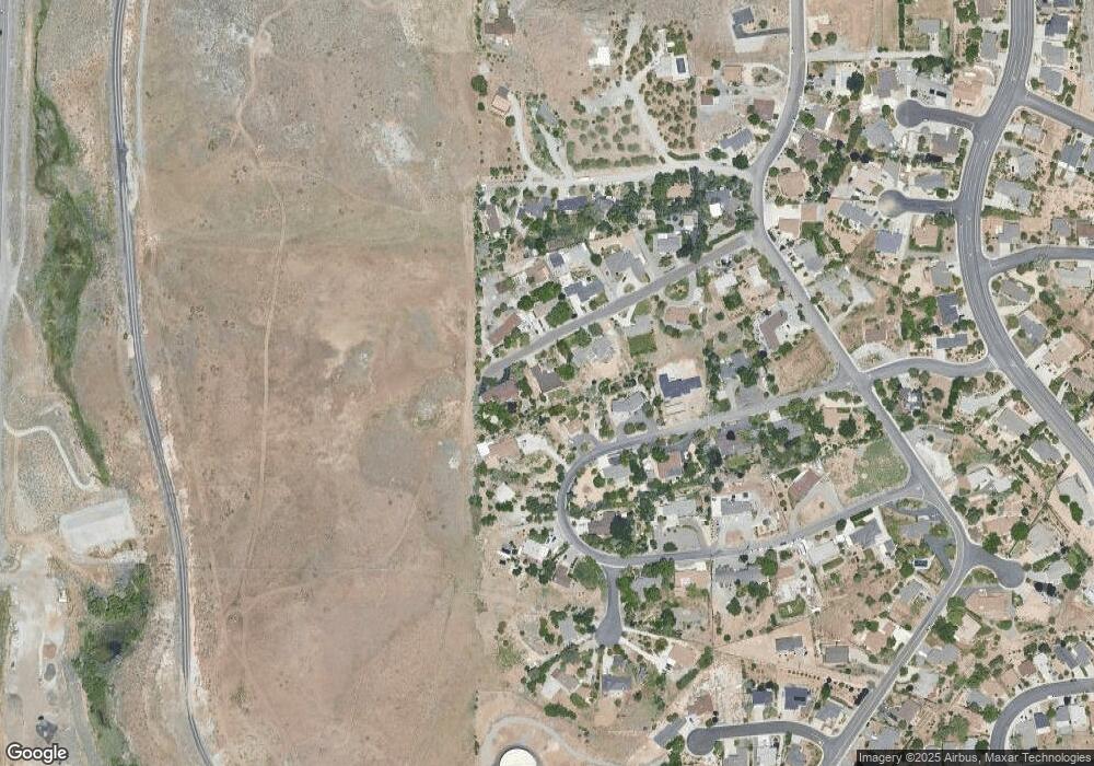
220 Redstone Dr Reno, NV 89512
West University NeighborhoodEstimated Value: $643,972 - $792,000
2
Beds
3
Baths
1,952
Sq Ft
$371/Sq Ft
Est. Value
About This Home
This home is located at 220 Redstone Dr, Reno, NV 89512 and is currently estimated at $723,993, approximately $370 per square foot. 220 Redstone Dr is a home located in Washoe County with nearby schools including Peavine Elementary School, Archie Clayton Pre-AP Academy, and Coral Academy Charter School Elementary.
Ownership History
Date
Name
Owned For
Owner Type
Purchase Details
Closed on
Dec 3, 2002
Sold by
Gebhart Richard
Bought by
Gebhart Richard A
Current Estimated Value
Home Financials for this Owner
Home Financials are based on the most recent Mortgage that was taken out on this home.
Original Mortgage
$226,000
Interest Rate
6.28%
Purchase Details
Closed on
Apr 8, 2002
Sold by
Goff Robert J and Goff Julia
Bought by
Gebhart Richard
Home Financials for this Owner
Home Financials are based on the most recent Mortgage that was taken out on this home.
Original Mortgage
$210,000
Interest Rate
6.78%
Create a Home Valuation Report for This Property
The Home Valuation Report is an in-depth analysis detailing your home's value as well as a comparison with similar homes in the area
Home Values in the Area
Average Home Value in this Area
Purchase History
| Date | Buyer | Sale Price | Title Company |
|---|---|---|---|
| Gebhart Richard A | -- | Stewart Title Northern Nevad | |
| Gebhart Richard | $265,000 | Stewart Title Northern Nevad |
Source: Public Records
Mortgage History
| Date | Status | Borrower | Loan Amount |
|---|---|---|---|
| Closed | Gebhart Richard A | $226,000 | |
| Closed | Gebhart Richard | $210,000 |
Source: Public Records
Tax History Compared to Growth
Tax History
| Year | Tax Paid | Tax Assessment Tax Assessment Total Assessment is a certain percentage of the fair market value that is determined by local assessors to be the total taxable value of land and additions on the property. | Land | Improvement |
|---|---|---|---|---|
| 2025 | $2,412 | $106,008 | $51,870 | $54,138 |
| 2024 | $2,339 | $104,416 | $48,878 | $55,538 |
| 2023 | $2,339 | $102,221 | $48,878 | $53,344 |
| 2022 | $2,397 | $86,771 | $41,895 | $44,876 |
| 2021 | $2,205 | $76,718 | $31,255 | $45,463 |
| 2020 | $2,138 | $77,557 | $31,255 | $46,302 |
| 2019 | $2,078 | $75,601 | $30,258 | $45,343 |
| 2018 | $2,003 | $69,475 | $24,938 | $44,537 |
| 2017 | $1,946 | $61,698 | $16,625 | $45,073 |
| 2016 | $1,896 | $59,752 | $13,633 | $46,119 |
| 2015 | $1,894 | $56,276 | $10,141 | $46,135 |
| 2014 | $1,837 | $54,052 | $9,111 | $44,941 |
| 2013 | -- | $48,585 | $5,387 | $43,198 |
Source: Public Records
Map
Nearby Homes
- 3495 Comstock Dr
- 1175 Arrastra Rd Unit Lot 13
- 1160 Arrastra Rd
- 1172 Arrastra Rd
- 1176 Arrastra Rd Unit Lot 16
- 200 Talus Way Unit 232
- 200 Talus Way Unit 234
- 200 Talus Way Unit 522
- 200 Talus Way Unit 123
- 2528 Comstock Dr
- 865 N University Park Loop
- 100 Bisset Ct Unit B
- 3421 Colonial Downs Dr
- 3566 Penn National Dr
- 230 Bisset Ct Unit B
- 3621 Pimlico St
- 400 Tarn Way
- 3200 Lodestar Ln
- 3696 Shale Ct
- 3648 Hollywood Park Dr
- 445 Greenstone Dr
- 170 Redstone Dr
- 250 Redstone Dr
- 395 Greenstone Dr
- 235 Redstone Dr
- 505 Greenstone Dr
- 225 Redstone Dr
- 120 Redstone Dr
- 145 Redstone Dr
- 400 Greenstone Dr
- 105 Redstone Dr
- 70 Redstone Dr
- 540 Greenstone Dr
- 220 Brownstone Dr
- 255 Greenstone Dr
- 150 Brownstone Dr
- 240 Brownstone Dr
- 340 Greenstone Dr
- 110 Brownstone Dr
- 565 Greenstone Dr
