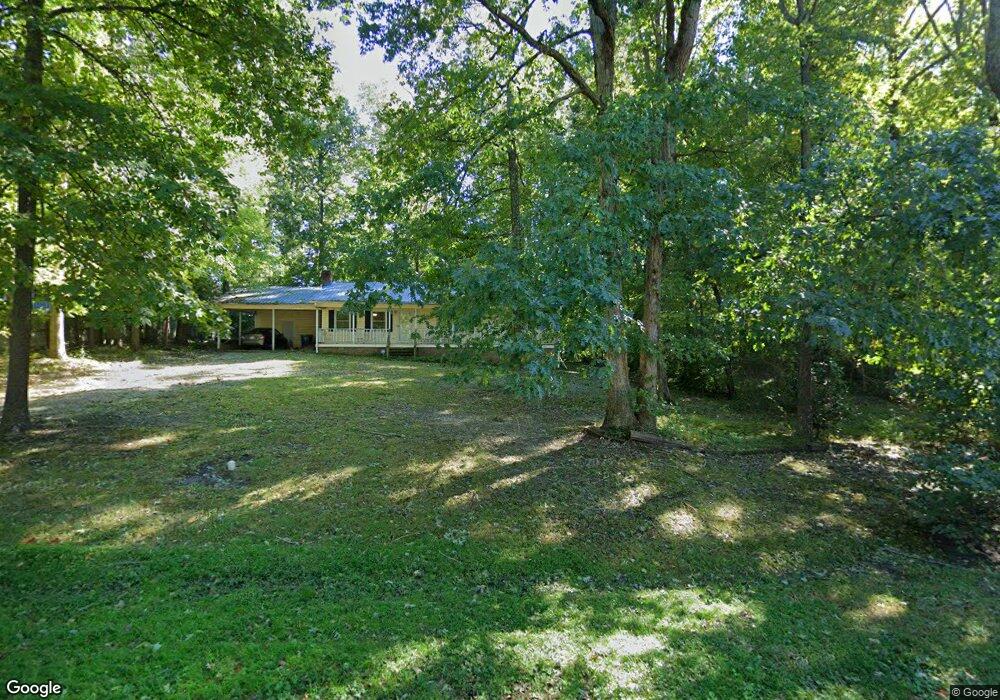
220 Robin Cir Archdale, NC 27263
Estimated Value: $229,524 - $300,000
Studio
2
Baths
1,400
Sq Ft
$197/Sq Ft
Est. Value
About This Home
This home is located at 220 Robin Cir, Archdale, NC 27263 and is currently estimated at $276,381, approximately $197 per square foot. 220 Robin Cir is a home located in Randolph County with nearby schools including Trindale Elementary School, Wheatmore Middle School, and Wheatmore High School.
Ownership History
Date
Name
Owned For
Owner Type
Purchase Details
Closed on
Jul 11, 2025
Sold by
Milling Virginia Lee
Bought by
Glotzbach Jeremy D and Williamson Antonio
Current Estimated Value
Purchase Details
Closed on
Jun 14, 2025
Sold by
Milling Virginia Lee
Bought by
Williamson Antonio and Glotzbach Jeremy D
Purchase Details
Closed on
Jan 23, 2025
Sold by
Milling Virginia Lee
Bought by
Milling Virginia Lee
Purchase Details
Closed on
Jun 16, 1988
Bought by
Gerringer Jimmy D Gerringer Lanit
Create a Home Valuation Report for This Property
The Home Valuation Report is an in-depth analysis detailing your home's value as well as a comparison with similar homes in the area
Home Values in the Area
Average Home Value in this Area
Purchase History
| Date | Buyer | Sale Price | Title Company |
|---|---|---|---|
| Glotzbach Jeremy D | $57,000 | None Listed On Document | |
| Glotzbach Jeremy D | $57,000 | None Listed On Document | |
| Williamson Antonio | -- | None Listed On Document | |
| Williamson Antonio | -- | None Listed On Document | |
| Milling Virginia Lee | -- | None Listed On Document | |
| Milling Virginia Lee | -- | None Listed On Document | |
| Gerringer Jimmy D Gerringer Lanit | $75,500 | -- |
Source: Public Records
Tax History
| Year | Tax Paid | Tax Assessment Tax Assessment Total Assessment is a certain percentage of the fair market value that is determined by local assessors to be the total taxable value of land and additions on the property. | Land | Improvement |
|---|---|---|---|---|
| 2025 | $1,962 | $188,610 | $56,950 | $131,660 |
| 2024 | $1,943 | $188,610 | $56,950 | $131,660 |
| 2023 | $1,943 | $188,610 | $56,950 | $131,660 |
| 2022 | $1,457 | $122,960 | $25,710 | $97,250 |
| 2021 | $1,457 | $122,960 | $25,710 | $97,250 |
| 2020 | $1,429 | $122,960 | $25,710 | $97,250 |
| 2019 | $1,429 | $122,960 | $25,710 | $97,250 |
| 2018 | $1,332 | $111,560 | $23,710 | $87,850 |
| 2016 | $1,306 | $111,555 | $23,710 | $87,845 |
| 2015 | $1,311 | $111,555 | $23,710 | $87,845 |
| 2014 | -- | $111,555 | $23,710 | $87,845 |
Source: Public Records
Map
Nearby Homes
- 201 Maplewood Ct
- 110 Billy Ave
- 119 Brandon Ln
- 112 Elaine St
- 0 Interstate Dr
- 206 Ridge Creek Dr
- 110 Renola Dr
- 0-A Us Highway 311
- 5005 Country Ln
- 209 Rivermeade Dr
- 0 Darr Rd Unit CAR4318740
- 118 Rand Blvd
- 305 Alison Ln
- 309 Alison Ln
- 4888 Trinity Blvd
- 209 Purvis Ln
- 902 Brittany Way
- 0 Sprucewood Ct
- 0-C Us Highway 311
- 108 Sprucewood Ct
- 222 Robin Cir
- 128 Winchester Ct
- 126 Winchester Ct
- 130 Winchester Ct
- 124 Winchester Ct
- 224 Robin Cir
- 216 Robin Cir
- 122 Winchester Ct
- 209 Robin Cir
- 120 Winchester Ct
- 226 Robin Cir
- 207 Robin Cir
- 119 Winchester Ct
- 215 Robin Cir
- 117 Winchester Ct
- 115 Winchester Ct
- 123 Winchester Ct
- 121 Winchester Ct
- 118 Winchester Ct
- 205 Robin Cir
Your Personal Tour Guide
Ask me questions while you tour the home.