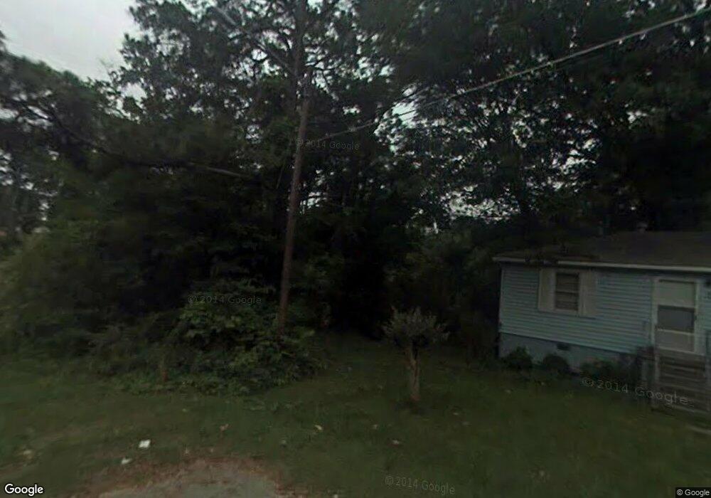
220 Royston St Jonesboro, GA 30236
Estimated Value: $128,000 - $176,000
2
Beds
1
Bath
888
Sq Ft
$169/Sq Ft
Est. Value
About This Home
This home is located at 220 Royston St, Jonesboro, GA 30236 and is currently estimated at $150,027, approximately $168 per square foot. 220 Royston St is a home located in Clayton County with nearby schools including Arnold Elementary School, Jonesboro Middle School, and Jonesboro High School.
Ownership History
Date
Name
Owned For
Owner Type
Purchase Details
Closed on
Jul 9, 2024
Sold by
Harris Herschel Lynn
Bought by
Bush Dorian Broderick
Current Estimated Value
Purchase Details
Closed on
May 24, 2002
Sold by
Cainn Larry D
Bought by
Harris Herschell L
Home Financials for this Owner
Home Financials are based on the most recent Mortgage that was taken out on this home.
Original Mortgage
$79,868
Interest Rate
6.92%
Mortgage Type
FHA
Create a Home Valuation Report for This Property
The Home Valuation Report is an in-depth analysis detailing your home's value as well as a comparison with similar homes in the area
Home Values in the Area
Average Home Value in this Area
Purchase History
| Date | Buyer | Sale Price | Title Company |
|---|---|---|---|
| Bush Dorian Broderick | -- | -- | |
| Harris Herschell L | $85,000 | -- |
Source: Public Records
Mortgage History
| Date | Status | Borrower | Loan Amount |
|---|---|---|---|
| Previous Owner | Harris Herschell L | $79,868 |
Source: Public Records
Tax History Compared to Growth
Tax History
| Year | Tax Paid | Tax Assessment Tax Assessment Total Assessment is a certain percentage of the fair market value that is determined by local assessors to be the total taxable value of land and additions on the property. | Land | Improvement |
|---|---|---|---|---|
| 2024 | $688 | $27,640 | $5,600 | $22,040 |
| 2023 | $998 | $27,640 | $5,600 | $22,040 |
| 2022 | $534 | $23,600 | $5,600 | $18,000 |
| 2021 | $441 | $21,160 | $5,600 | $15,560 |
| 2020 | $397 | $19,938 | $5,600 | $14,338 |
| 2019 | $385 | $19,483 | $4,800 | $14,683 |
| 2018 | $259 | $16,386 | $4,800 | $11,586 |
| 2017 | $164 | $14,039 | $4,800 | $9,239 |
| 2016 | $164 | $14,039 | $4,800 | $9,239 |
| 2015 | $162 | $0 | $0 | $0 |
| 2014 | $128 | $13,189 | $4,800 | $8,389 |
Source: Public Records
Map
Nearby Homes
- 126 Irvin St
- 1250 Grove Pkwy
- 408 N Mcdonough St
- 410 N Mcdonough St
- 151 Irvin St
- 109 Stockbridge Rd
- 9758 Highway 54
- 2 Woodhaven Dr
- 139 North Ave
- 130 Scarlett Dr
- 1170 5th Ave
- 7986 Scarlett Dr
- 181 Dean St
- 135 Main St
- 135 5th Ave
- 8391 Carlington Ln
- 8356 Carlington Ln
- 8399 Carlington Ln
- 135 N Main St
- 8430 Carlington Ln
- 224 Royston St Unit 46
- 224 Royston St
- 0 Royston St Unit 8892786
- 0 Royston St Unit 46
- 220 Wallis St
- 138 Johnson St
- 218 Wallis St
- 224 Wallis St
- 216 Wallis St
- 214 Wallis St
- 0 Wallis St Unit 7569785
- 0 Wallis St Unit 7527075
- 0 Wallis St
- 0 Johnson St
- 125 Irvin St
- 217 Wallis St
- 212 Wallis St
- 215 Wallis St
- 213 Wallis St
- 210 Wallis St