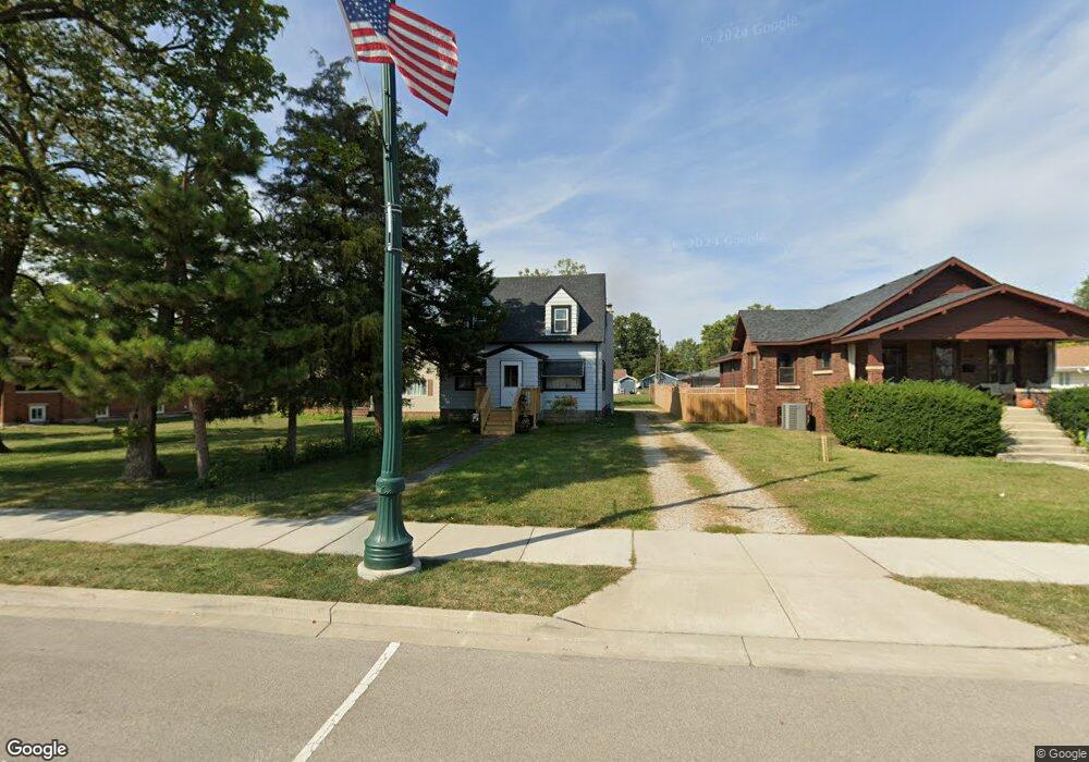
220 S Broadway St Coal City, IL 60416
Estimated Value: $144,000 - $223,000
--
Bed
--
Bath
1,539
Sq Ft
$118/Sq Ft
Est. Value
About This Home
This home is located at 220 S Broadway St, Coal City, IL 60416 and is currently estimated at $181,867, approximately $118 per square foot. 220 S Broadway St is a home with nearby schools including Coal City Elementary School, Coal City Intermediate School, and Coal City Middle School.
Ownership History
Date
Name
Owned For
Owner Type
Purchase Details
Closed on
Nov 2, 2022
Sold by
Pavis Cinderella Carol
Bought by
Krug Cody E
Current Estimated Value
Home Financials for this Owner
Home Financials are based on the most recent Mortgage that was taken out on this home.
Original Mortgage
$100,000
Outstanding Balance
$96,882
Interest Rate
6.92%
Mortgage Type
New Conventional
Estimated Equity
$84,985
Purchase Details
Closed on
Dec 18, 2020
Sold by
Pavlis John Dennis and Pavlis Scott Lucas
Bought by
Pavlis John Dennis and Pavlis Scott Lucas
Create a Home Valuation Report for This Property
The Home Valuation Report is an in-depth analysis detailing your home's value as well as a comparison with similar homes in the area
Home Values in the Area
Average Home Value in this Area
Purchase History
| Date | Buyer | Sale Price | Title Company |
|---|---|---|---|
| Krug Cody E | $125,000 | Fidelity National Title | |
| Pavlis John Dennis | -- | None Available |
Source: Public Records
Mortgage History
| Date | Status | Borrower | Loan Amount |
|---|---|---|---|
| Open | Krug Cody E | $100,000 |
Source: Public Records
Tax History Compared to Growth
Tax History
| Year | Tax Paid | Tax Assessment Tax Assessment Total Assessment is a certain percentage of the fair market value that is determined by local assessors to be the total taxable value of land and additions on the property. | Land | Improvement |
|---|---|---|---|---|
| 2024 | $4,090 | $57,210 | $9,959 | $47,251 |
| 2023 | $3,805 | $53,229 | $9,266 | $43,963 |
| 2022 | $3,134 | $49,478 | $8,613 | $40,865 |
| 2021 | $2,984 | $46,779 | $8,143 | $38,636 |
| 2020 | $2,863 | $45,054 | $7,843 | $37,211 |
| 2019 | $2,675 | $42,867 | $7,462 | $35,405 |
| 2018 | $2,601 | $42,286 | $7,361 | $34,925 |
| 2017 | $2,416 | $40,519 | $7,053 | $33,466 |
| 2016 | $2,280 | $38,841 | $6,761 | $32,080 |
| 2015 | $1,057 | $37,509 | $6,529 | $30,980 |
| 2014 | $1,045 | $37,566 | $6,539 | $31,027 |
| 2013 | $1,060 | $38,490 | $6,700 | $31,790 |
Source: Public Records
Map
Nearby Homes
- 385 S Kankakee St
- 310 W Oak St
- 573-585 S Mazon St
- 105 N Kankakee St
- 120 E Elm St
- 485 Trotter Dr
- 395 N Kankakee St
- 495 Trotter Dr
- 295 N Lincoln St
- Lot 2 Mcardle Rd
- Lot 6 Mcardle Rd
- Lot 1 Mcardle Rd
- Lot 3 Mcardle Rd
- Lot 5 Mcardle Rd
- Lot 4 Mcardle Rd
- 681 Circle Dr
- 80 E Spring Rd
- 540 N 1st Ave
- 595 W Rathburn St
- 801 W Daisy Place
- 210 S Broadway St
- 240 S Broadway St
- 250 S Broadway St
- 200 S Broadway St
- 270 S Broadway St
- 180 S Broadway St
- 40 W Oak St
- 290 S Broadway St
- 50 W Oak St
- 170 S Broadway St
- 55 W Gordon St
- 160 S Broadway St
- 185 S Broadway St
- 293 S Broadway St
- 80 W Oak St
- 310 S Broadway St
- 90 W Oak St
- 85 W Gordon St
- 255 S De Witt Place
- 255 S De Witt Place