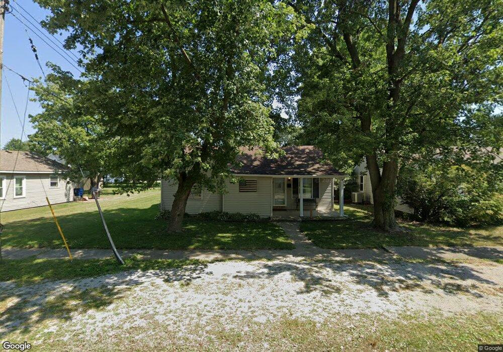
220 S Elm St Arthur, IL 61911
Estimated Value: $118,883 - $180,000
2
Beds
1
Bath
951
Sq Ft
$151/Sq Ft
Est. Value
About This Home
This home is located at 220 S Elm St, Arthur, IL 61911 and is currently estimated at $143,721, approximately $151 per square foot. 220 S Elm St is a home located in Moultrie County with nearby schools including Arthur Grade School, Arthur Lovington Atwood Hammond High School, and Northside School.
Ownership History
Date
Name
Owned For
Owner Type
Purchase Details
Closed on
Sep 27, 2021
Sold by
Hayes Scott L and Hayes Patience L
Bought by
Beachy Trevor Jacob
Current Estimated Value
Purchase Details
Closed on
Nov 25, 2005
Sold by
Mcwilliams Michael L and Mcwilliams Cheryl L
Bought by
Hayes Scott L
Home Financials for this Owner
Home Financials are based on the most recent Mortgage that was taken out on this home.
Original Mortgage
$74,489
Interest Rate
6.13%
Mortgage Type
New Conventional
Create a Home Valuation Report for This Property
The Home Valuation Report is an in-depth analysis detailing your home's value as well as a comparison with similar homes in the area
Home Values in the Area
Average Home Value in this Area
Purchase History
| Date | Buyer | Sale Price | Title Company |
|---|---|---|---|
| Beachy Trevor Jacob | $90,000 | Allied Capital Title | |
| Hayes Scott L | $70,000 | None Available |
Source: Public Records
Mortgage History
| Date | Status | Borrower | Loan Amount |
|---|---|---|---|
| Previous Owner | Hayes Scott L | $74,489 |
Source: Public Records
Tax History Compared to Growth
Tax History
| Year | Tax Paid | Tax Assessment Tax Assessment Total Assessment is a certain percentage of the fair market value that is determined by local assessors to be the total taxable value of land and additions on the property. | Land | Improvement |
|---|---|---|---|---|
| 2024 | $1,990 | $34,588 | $1,304 | $33,284 |
| 2023 | $1,924 | $32,474 | $1,224 | $31,250 |
| 2022 | $1,839 | $31,071 | $2,397 | $28,674 |
| 2021 | $1,441 | $24,928 | $2,279 | $22,649 |
| 2020 | $1,407 | $23,937 | $2,188 | $21,749 |
| 2019 | $1,366 | $23,517 | $2,150 | $21,367 |
| 2018 | $1,370 | $23,651 | $1,226 | $22,425 |
| 2017 | $1,371 | $23,559 | $1,221 | $22,338 |
| 2016 | $1,422 | $23,611 | $1,224 | $22,387 |
| 2015 | $1,376 | $23,150 | $1,200 | $21,950 |
| 2014 | -- | $22,967 | $1,330 | $21,637 |
| 2013 | -- | $22,967 | $1,330 | $21,637 |
Source: Public Records
Map
Nearby Homes
- 314 S Elm St
- 221 S Hickory St
- 505 S Vine St
- 206 E Logan St
- 531 S Vine St
- Lot 20 Beech St
- Lot 16 N Beech St
- Lot 17 N Beech St
- Lot 15 N Beech St
- 705 E Illinois St
- 623 W Parkview Dr
- 616 W Parkview Dr
- 411 Crestwood Dr
- 1545 2300 N
- 320 S Main St
- 219 S Missouri St
- 222 S Iowa St
- 210 N Kentucky St
- 5 Royal Ct
- 4 Royal Ct