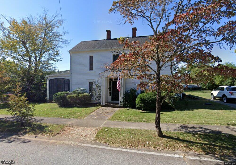
220 S Park St Dahlonega, GA 30533
Estimated Value: $412,443 - $644,000
--
Bed
2
Baths
2,559
Sq Ft
$194/Sq Ft
Est. Value
About This Home
This home is located at 220 S Park St, Dahlonega, GA 30533 and is currently estimated at $496,111, approximately $193 per square foot. 220 S Park St is a home located in Lumpkin County with nearby schools including Clay County Middle School and Lumpkin County High School.
Ownership History
Date
Name
Owned For
Owner Type
Purchase Details
Closed on
May 28, 2024
Sold by
Bennett Margaret Farrell Gallant
Bought by
Bennett Margaret Gallant and Bennett Paul Allen
Current Estimated Value
Purchase Details
Closed on
Feb 12, 2003
Sold by
Bennett Margaret Farrell Galla
Bought by
Bennett Margaret Farrell Gallant
Purchase Details
Closed on
Jan 6, 2003
Sold by
Gallant Mary Watson
Bought by
Bennett Margaret Farrell Gallant
Purchase Details
Closed on
Mar 9, 2000
Sold by
Watson Robert Franci
Bought by
Gallant Mary Watson
Purchase Details
Closed on
May 4, 1992
Bought by
Watson Farrell O
Create a Home Valuation Report for This Property
The Home Valuation Report is an in-depth analysis detailing your home's value as well as a comparison with similar homes in the area
Home Values in the Area
Average Home Value in this Area
Purchase History
| Date | Buyer | Sale Price | Title Company |
|---|---|---|---|
| Bennett Margaret Gallant | -- | -- | |
| Bennett Margaret Farrell Gallant | $82,100 | -- | |
| Bennett Margaret Farrell Gallant | $164,100 | -- | |
| Gallant Mary Watson | -- | -- | |
| Watson Robert Franci | -- | -- | |
| Watson Farrell O | -- | -- |
Source: Public Records
Tax History Compared to Growth
Tax History
| Year | Tax Paid | Tax Assessment Tax Assessment Total Assessment is a certain percentage of the fair market value that is determined by local assessors to be the total taxable value of land and additions on the property. | Land | Improvement |
|---|---|---|---|---|
| 2024 | $3,525 | $129,202 | $40,330 | $88,872 |
| 2023 | $2,975 | $122,936 | $40,330 | $82,606 |
| 2022 | $2,910 | $95,241 | $40,330 | $54,911 |
| 2021 | $2,788 | $85,458 | $40,330 | $45,128 |
| 2020 | $2,850 | $84,092 | $40,330 | $43,762 |
| 2019 | $2,864 | $84,092 | $40,330 | $43,762 |
| 2018 | $2,861 | $78,616 | $40,330 | $38,286 |
| 2017 | $2,965 | $80,121 | $40,330 | $39,791 |
| 2016 | $2,889 | $76,355 | $40,330 | $36,025 |
| 2015 | $2,519 | $76,355 | $40,330 | $36,025 |
| 2014 | $2,519 | $77,826 | $40,330 | $37,496 |
| 2013 | -- | $79,296 | $40,329 | $38,966 |
Source: Public Records
Map
Nearby Homes
- 1392 S Chestatee St
- 120 Riley Rd
- 0 S Chestatee St Unit 10619536
- 329 Morrison Moore Pkwy E
- 0 Highway 60 Unit 7241582
- 0 Highway 9 S Unit 10487179
- 0 Highway 9 S Unit 7548614
- 0 Highway 19 N Unit 10594984
- 6480A Highway 52
- 168 W Main St
- 315 Church St
- 0 Calhoun Rd Unit 7643314
- 0 Calhoun Rd Unit 10598012
- 00 Calhoun Rd
- 95 Jones St
- 0 Alicia Ln
- 399 N Chestatee St
- 0 Crown Mountain Unit 7682225
- 0 Crown Mountain Unit 10644759
- 502 Wimpy Mill Rd
- 0 Robert Jones Rd Unit 8314937
- 0 Robert Jones Rd Unit 5954278
- 0 Robert Jones Rd Unit 3206346
- 0 Robert Jones Rd Unit 24, 25, 26 7176800
- 0 Robert Jones Rd Unit 3289090
- 0 Robert Jones Rd Unit 89AC 7418328
- 0 Robert Jones Rd Unit 23AC 7456376
- 0 Robert Jones Rd Unit 28AC 7456384
- 0 Robert Jones Rd Unit 21+/- Acres 7456380
- 0 Robert Jones Rd Unit 8015715
- 0 Robert Jones Rd Unit 11+/- Acres 8160245
- Lot 34 Station Trail
- A D C Town Creek Church Rd
- 1033 In Achasta
- 0 Robert Jones Rd Unit 4009342
- 0 Robert Jones Rd Unit 4136377
- 0 Robert Jones Rd Unit 4145508
- 0 Robert Jones Rd Unit 5065446
- 0 Robert Jones Rd Unit 5703177
- 0 Robert Jones Rd Unit 5821310