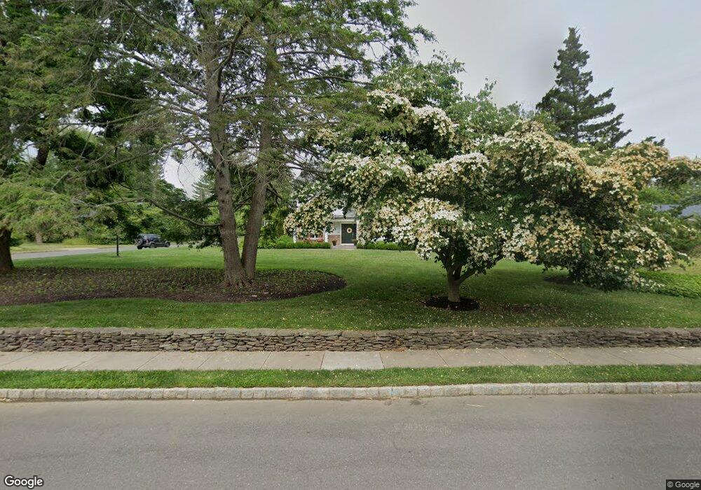
220 Snowden Ln Princeton, NJ 08540
Estimated Value: $1,171,000 - $1,959,000
--
Bed
--
Bath
3,445
Sq Ft
$498/Sq Ft
Est. Value
About This Home
This home is located at 220 Snowden Ln, Princeton, NJ 08540 and is currently estimated at $1,716,386, approximately $498 per square foot. 220 Snowden Ln is a home located in Mercer County with nearby schools including Littlebrook Elementary School, Princeton Middle School, and Princeton High School.
Ownership History
Date
Name
Owned For
Owner Type
Purchase Details
Closed on
Apr 28, 2017
Sold by
Crilley Suzanne C
Bought by
Barlag Brett Edward and Barlag Catherine Theresa
Current Estimated Value
Home Financials for this Owner
Home Financials are based on the most recent Mortgage that was taken out on this home.
Original Mortgage
$580,000
Outstanding Balance
$383,546
Interest Rate
3.3%
Mortgage Type
Purchase Money Mortgage
Estimated Equity
$1,332,840
Create a Home Valuation Report for This Property
The Home Valuation Report is an in-depth analysis detailing your home's value as well as a comparison with similar homes in the area
Home Values in the Area
Average Home Value in this Area
Purchase History
| Date | Buyer | Sale Price | Title Company |
|---|---|---|---|
| Barlag Brett Edward | $725,000 | Empire Title & Abstract Agen |
Source: Public Records
Mortgage History
| Date | Status | Borrower | Loan Amount |
|---|---|---|---|
| Open | Barlag Brett Edward | $580,000 |
Source: Public Records
Tax History Compared to Growth
Tax History
| Year | Tax Paid | Tax Assessment Tax Assessment Total Assessment is a certain percentage of the fair market value that is determined by local assessors to be the total taxable value of land and additions on the property. | Land | Improvement |
|---|---|---|---|---|
| 2025 | $28,177 | $1,058,100 | $401,000 | $657,100 |
| 2024 | $26,601 | $1,058,100 | $401,000 | $657,100 |
| 2023 | $26,601 | $1,058,100 | $401,000 | $657,100 |
| 2022 | $25,733 | $1,058,100 | $401,000 | $657,100 |
| 2021 | $24,280 | $995,500 | $401,000 | $594,500 |
| 2020 | $24,091 | $995,500 | $401,000 | $594,500 |
| 2019 | $23,613 | $995,500 | $401,000 | $594,500 |
| 2018 | $15,636 | $670,500 | $401,000 | $269,500 |
| 2017 | $15,422 | $670,500 | $401,000 | $269,500 |
| 2016 | $15,180 | $670,500 | $401,000 | $269,500 |
| 2015 | $14,581 | $670,500 | $401,000 | $269,500 |
| 2014 | $14,400 | $670,500 | $401,000 | $269,500 |
Source: Public Records
Map
Nearby Homes
- 75 Clover Ln
- 380 Franklin Ave
- 150 Leabrook Ln
- 67 Locust Ln
- 201 Grover Ave
- 50 Broadripple Dr
- 428 Nassau St
- 16 Cameron Ct
- 532 Kingston Rd
- 22 Gordon Way
- 8 Governors Ln
- 1 Markham Rd Unit 2C
- 1 Markham Rd Unit 1D
- 569 Riverside Dr
- 567 Riverside Dr
- 119 Poe Rd
- 261 Moore St
- 32 Gulick Rd
- 189 Moore St
- 56 Patton Ave
- 230 Snowden Ln
- 29 Leabrook Ln
- 206 Snowden Ln
- 129 Linwood Cir
- 215 Snowden Ln
- 41 Leabrook Ln
- 223 Snowden Ln
- 240 Snowden Ln
- 207 Snowden Ln
- 222 Snowden Ln
- 231 Snowden Ln
- 199 Snowden Ln
- 196 Snowden Ln
- 119 Linwood Cir
- 47 Leabrook Ln
- 110 Linwood Cir
- 40 Leabrook Ln
- 191 Snowden Ln
- 241 Snowden Ln
- 252 Snowden Ln