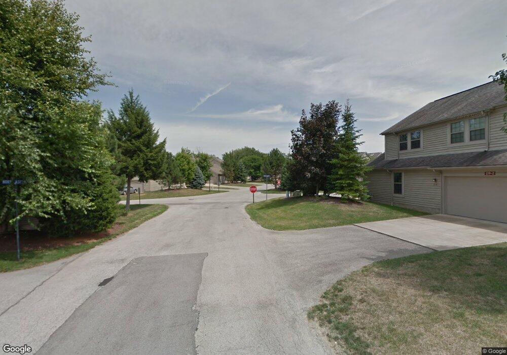
220 Springbrook Dr NE Unit 1 Warren, OH 44484
Estimated Value: $240,930 - $336,000
2
Beds
2
Baths
1,648
Sq Ft
$163/Sq Ft
Est. Value
About This Home
This home is located at 220 Springbrook Dr NE Unit 1, Warren, OH 44484 and is currently estimated at $268,733, approximately $163 per square foot. 220 Springbrook Dr NE Unit 1 is a home located in Trumbull County with nearby schools including Howland High School and John F. Kennedy Catholic School - Lower Campus.
Ownership History
Date
Name
Owned For
Owner Type
Purchase Details
Closed on
Jul 12, 2016
Sold by
Tsagaris James G and Tsagaris Htta Patricia J
Bought by
Tsagaris James G and Tsagaris Patricia J
Current Estimated Value
Home Financials for this Owner
Home Financials are based on the most recent Mortgage that was taken out on this home.
Original Mortgage
$124,000
Interest Rate
2.87%
Mortgage Type
New Conventional
Purchase Details
Closed on
Dec 22, 2004
Sold by
Walter Randy D
Bought by
Tsagaris James G and Tsagaris Patricia S
Create a Home Valuation Report for This Property
The Home Valuation Report is an in-depth analysis detailing your home's value as well as a comparison with similar homes in the area
Home Values in the Area
Average Home Value in this Area
Purchase History
| Date | Buyer | Sale Price | Title Company |
|---|---|---|---|
| Tsagaris James G | -- | Patriot Title Agency Inc | |
| Tsagaris James G | $195,000 | -- |
Source: Public Records
Mortgage History
| Date | Status | Borrower | Loan Amount |
|---|---|---|---|
| Closed | Tsagaris James G | $124,000 |
Source: Public Records
Tax History Compared to Growth
Tax History
| Year | Tax Paid | Tax Assessment Tax Assessment Total Assessment is a certain percentage of the fair market value that is determined by local assessors to be the total taxable value of land and additions on the property. | Land | Improvement |
|---|---|---|---|---|
| 2024 | $3,210 | $70,490 | $9,800 | $60,690 |
| 2023 | $3,210 | $70,490 | $9,800 | $60,690 |
| 2022 | $2,596 | $50,050 | $7,700 | $42,350 |
| 2021 | $2,536 | $50,050 | $7,700 | $42,350 |
| 2020 | $2,546 | $50,050 | $7,700 | $42,350 |
| 2019 | $2,392 | $45,500 | $7,000 | $38,500 |
| 2018 | $2,288 | $45,500 | $7,000 | $38,500 |
| 2017 | $2,057 | $45,500 | $7,000 | $38,500 |
| 2016 | $1,927 | $42,210 | $5,040 | $37,170 |
| 2015 | $1,879 | $42,210 | $5,040 | $37,170 |
| 2014 | $1,814 | $42,210 | $5,040 | $37,170 |
| 2013 | $2,056 | $46,900 | $5,600 | $41,300 |
Source: Public Records
Map
Nearby Homes
- 126 N Aspen Ct Unit 2
- 106 N Aspen Ct Unit 4
- 0 Black Duck Ct Unit 5133669
- 0 Black Duck Ct Unit 5088418
- 4167 N River Rd NE
- 4260 N River Rd NE
- 0 King Graves Rd NE
- 7837 Raglan Dr NE
- 2133 Silver Fox Ln NE
- 8848 King Graves Rd NE
- 7707 Raglan Dr NE
- 7697 Micawber Rd NE
- Lot 4 N Gulch Ln
- 7979 Brookwood St NE
- 8545 Carriage Hill Dr NE
- 1750 Portal Dr NE
- 7751 Castle Rock Dr NE
- 5 Oh-46
- 4 Niles Cortland Rd NE
- 0 #3 Niles Cortland Rd- Sr 46 Unit 4274646
- 139 N Aspen Ct Unit 1
- 139 N Aspen Ct Unit 2
- 136 Springbrook Dr NE Unit 1
- 132 Springbrook Dr NE Unit 1
- 220 Springbrook Dr NE Unit 2
- 136 Springbrook Dr NE Unit 2
- 132 Springbrook Dr NE
- 132 Springbrook Dr NE Unit 2
- 136 Springbrook Dr NE
- 140 N Aspen Ct
- 140 N Aspen Ct
- 135 N Aspen Ct Unit 2
- 135 N Aspen Ct Unit 1
- 137 N Aspen Ct
- 137 N Aspen Ct Unit 1
- 218 S Aspen Ct Unit 4
- 218 S Aspen Ct Unit 3
- 218 S Aspen Ct Unit 2
- 218 S Aspen Ct Unit 1
- 133 N Aspen Ct Unit 2