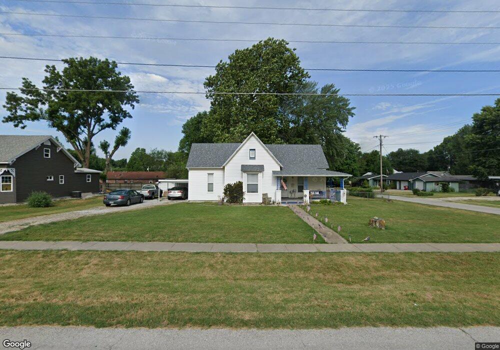
220 W Anderson St Republic, MO 65738
Estimated Value: $221,000 - $238,000
3
Beds
2
Baths
1,674
Sq Ft
$138/Sq Ft
Est. Value
About This Home
This home is located at 220 W Anderson St, Republic, MO 65738 and is currently estimated at $231,311, approximately $138 per square foot. 220 W Anderson St is a home located in Greene County with nearby schools including Schofield Elementary School, Republic Middle School, and Republic High School.
Ownership History
Date
Name
Owned For
Owner Type
Purchase Details
Closed on
Jun 7, 2017
Sold by
Smith Daniel and Smith Christine
Bought by
Smith Vincent Michael and Smith Monique Rose
Current Estimated Value
Home Financials for this Owner
Home Financials are based on the most recent Mortgage that was taken out on this home.
Original Mortgage
$112,365
Outstanding Balance
$93,490
Interest Rate
4.03%
Mortgage Type
VA
Estimated Equity
$137,821
Purchase Details
Closed on
Jul 20, 2011
Sold by
Federal Home Loan Mortgage Corporation
Bought by
White Oak Holding Llc
Purchase Details
Closed on
Aug 14, 2007
Sold by
Stenhoff Dennis and Stenhoff Shannon
Bought by
Stenhoff Dennis and Stenhoff Shannon
Home Financials for this Owner
Home Financials are based on the most recent Mortgage that was taken out on this home.
Original Mortgage
$124,000
Interest Rate
6.72%
Mortgage Type
New Conventional
Create a Home Valuation Report for This Property
The Home Valuation Report is an in-depth analysis detailing your home's value as well as a comparison with similar homes in the area
Home Values in the Area
Average Home Value in this Area
Purchase History
| Date | Buyer | Sale Price | Title Company |
|---|---|---|---|
| Smith Vincent Michael | -- | Continental Title | |
| Smiths Daniel | -- | Continental Title | |
| White Oak Holding Llc | -- | Stewart Title | |
| Stenhoff Dennis | -- | Lincoln Evans Land Title Com |
Source: Public Records
Mortgage History
| Date | Status | Borrower | Loan Amount |
|---|---|---|---|
| Open | Smith Vincent Michael | $112,365 | |
| Previous Owner | Stenhoff Dennis | $124,000 |
Source: Public Records
Tax History Compared to Growth
Tax History
| Year | Tax Paid | Tax Assessment Tax Assessment Total Assessment is a certain percentage of the fair market value that is determined by local assessors to be the total taxable value of land and additions on the property. | Land | Improvement |
|---|---|---|---|---|
| 2025 | $1,258 | $27,280 | $5,700 | $21,580 |
| 2024 | $1,258 | $22,520 | $4,750 | $17,770 |
| 2023 | $1,234 | $22,520 | $4,750 | $17,770 |
| 2022 | $1,163 | $21,130 | $4,750 | $16,380 |
| 2021 | $1,156 | $21,130 | $4,750 | $16,380 |
| 2020 | $1,175 | $21,130 | $4,750 | $16,380 |
| 2019 | $1,171 | $21,130 | $4,750 | $16,380 |
| 2018 | $885 | $15,430 | $3,800 | $11,630 |
| 2017 | $877 | $14,440 | $3,800 | $10,640 |
| 2016 | $830 | $14,440 | $3,800 | $10,640 |
| 2015 | $827 | $14,440 | $3,800 | $10,640 |
| 2014 | $834 | $14,440 | $3,800 | $10,640 |
Source: Public Records
Map
Nearby Homes
- 520 N College Ave
- 533 N Main St
- 532 N College Ave
- 347 W Elm St
- 1213 N London Place
- 626 N Phelps Ave
- 135 N Bonnie Ave
- 645 N College Ave
- 707 N College Ave
- 207 W Broad St
- 401 Ethan Ave
- 217 E Ritter St
- 0 Highway 60 Unit 60308100
- 0 Highway 60 Unit 60308095
- 530 Ashley St
- 923 N Travis Ave
- 00 N Boston Ln
- 1128 N Blackstone Ave
- 1169 N Blackstone Ave
- 113 W Jewell Dr
- 320 N College Ave
- 325 N Walnut Ave
- 219 W Anderson St
- 325 N College Ave
- 317 N Walnut Ave
- 403 N Walnut Ave
- 241 W Olive St
- 408 N College Ave
- 303 W Anderson St
- 300 W Anderson St
- 215 W Olive St
- 411 N Walnut Ave
- 283 W Olive St
- 411 N College Ave
- 414 N College Ave
- 289 W Olive St
- 419 N Walnut Ave
- 319 W Anderson St
- 417 N College Ave
- 222 N College Ave