Estimated Value: $378,000 - $853,125
--
Bed
--
Bath
5,160
Sq Ft
$126/Sq Ft
Est. Value
About This Home
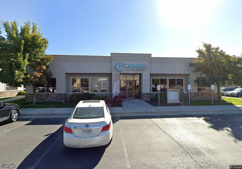
This home is located at 220 W Georgia Ave, Nampa, ID 83686 and is currently estimated at $650,708, approximately $126 per square foot. 220 W Georgia Ave is a home located in Canyon County with nearby schools including Centennial Elementary School, Konawaena Middle School, and West Middle School.
Ownership History
Date
Name
Owned For
Owner Type
Purchase Details
Closed on
Apr 15, 2011
Sold by
Brighton Development Inc
Bought by
Brighton Investments Llc
Current Estimated Value
Purchase Details
Closed on
Jul 22, 2004
Sold by
Boyd Neva
Bought by
Boyd Dennis L
Home Financials for this Owner
Home Financials are based on the most recent Mortgage that was taken out on this home.
Original Mortgage
$84,000
Interest Rate
6.29%
Mortgage Type
Commercial
Create a Home Valuation Report for This Property
The Home Valuation Report is an in-depth analysis detailing your home's value as well as a comparison with similar homes in the area
Home Values in the Area
Average Home Value in this Area
Purchase History
| Date | Buyer | Sale Price | Title Company |
|---|---|---|---|
| Brighton Investments Llc | -- | None Available | |
| Boyd Dennis L | -- | Title One |
Source: Public Records
Mortgage History
| Date | Status | Borrower | Loan Amount |
|---|---|---|---|
| Previous Owner | Boyd Dennis L | $84,000 |
Source: Public Records
Tax History Compared to Growth
Tax History
| Year | Tax Paid | Tax Assessment Tax Assessment Total Assessment is a certain percentage of the fair market value that is determined by local assessors to be the total taxable value of land and additions on the property. | Land | Improvement |
|---|---|---|---|---|
| 2025 | $6,157 | $868,370 | $167,270 | $701,100 |
| 2024 | $6,157 | $860,800 | $160,300 | $700,500 |
| 2023 | $4,540 | $602,630 | $153,330 | $449,300 |
| 2022 | $3,928 | $532,090 | $139,390 | $392,700 |
| 2021 | $5,813 | $493,440 | $104,540 | $388,900 |
| 2020 | $5,919 | $457,040 | $104,540 | $352,500 |
| 2019 | $7,196 | $448,440 | $104,540 | $343,900 |
| 2018 | $7,453 | $0 | $0 | $0 |
| 2017 | $7,693 | $0 | $0 | $0 |
| 2016 | $7,998 | $0 | $0 | $0 |
| 2015 | $8,254 | $0 | $0 | $0 |
| 2014 | $7,711 | $395,610 | $94,610 | $301,000 |
Source: Public Records
Map
Nearby Homes
- 107 S Maple St
- 1017 S Maple St
- 1020 S Maple St
- 115 E Clark Ave
- 612 S Pine St
- 1630 S Woodland Dr
- 1621 S Woodland Dr
- 336 W Sheridan Ave
- 335 W Lincoln Ave
- 2107 Fall Ct
- 628 Winter Place
- 307 S Locust St
- 224 S Canyon St
- 219 S Locust St
- 850 W Audrey Acres Dr
- 912 E Amity Ave
- 857 W Audrey Acres Dr
- 865 W Audrey Acres Dr
- TBD W Audrey Acres Dr Unit Umpqua
- TBD W Audrey Acres Dr Unit Orchard
- 230 W Georgia Ave
- 128 W Georgia Ave
- 270 W Georgia Ave
- 1225 12th Ave Rd
- 1143 12th Avenue Rd
- 1135 12th Ave Rd
- TBD W Georgia Ave
- 1311 12th Ave Rd
- 223 W Georgia Ave
- 1311-1323 12th Ave Rd
- 1315 12th Ave Rd
- 203 W Hawaii Ave
- 329 W Georgia Ave
- 346 W Georgia Ave
- 341 W Georgia Ave
- 1108 12th Ave Rd
- 1402 Lois Ln
- 1400 Lois Ln
- 1406 Lois Ln
- 1401 Lois Ln