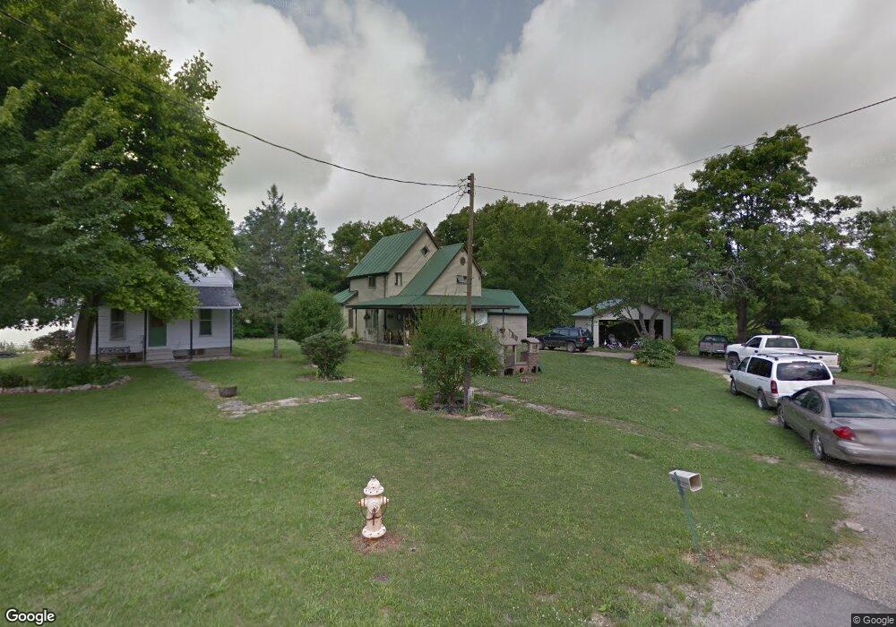
220 W Maple St Camden, MI 49232
Estimated Value: $87,000
3
Beds
1
Bath
1,526
Sq Ft
$57/Sq Ft
Est. Value
About This Home
This home is located at 220 W Maple St, Camden, MI 49232 and is currently priced at $87,000, approximately $57 per square foot. 220 W Maple St is a home located in Hillsdale County with nearby schools including Camden-Frontier K-8 School, Camden-Frontier High School, and Ridgeview Camden School.
Ownership History
Date
Name
Owned For
Owner Type
Purchase Details
Closed on
Jun 11, 1996
Sold by
Crook Eric R and Crook Chris S
Bought by
Jividen Daniel A and Jividen Carrie A
Current Estimated Value
Purchase Details
Closed on
May 26, 1989
Bought by
Crook Eric R and Rutledge Chris S
Purchase Details
Closed on
May 3, 1988
Sold by
Kuster David L and Kuster Alyn K
Bought by
Michigan Bank-Mid South
Purchase Details
Closed on
Jan 25, 1988
Sold by
Walker Charles W and Walker Vicki L
Bought by
Kuster David L and Kuster Alyn K
Purchase Details
Closed on
Jun 1, 1987
Bought by
Michigan, State Of
Purchase Details
Closed on
Feb 11, 1986
Sold by
To Whom It May Concern
Purchase Details
Closed on
Oct 12, 1983
Bought by
Kuster David L and Kuster Alyn K
Purchase Details
Closed on
Oct 11, 1982
Bought by
Kuster David L and Kuster Alyn K
Purchase Details
Closed on
Aug 11, 1981
Bought by
Cartee Homer D and Cartee Marjorie J
Create a Home Valuation Report for This Property
The Home Valuation Report is an in-depth analysis detailing your home's value as well as a comparison with similar homes in the area
Home Values in the Area
Average Home Value in this Area
Purchase History
| Date | Buyer | Sale Price | Title Company |
|---|---|---|---|
| Jividen Daniel A | $60,000 | -- | |
| Crook Eric R | $14,000 | -- | |
| Michigan Bank-Mid South | -- | -- | |
| Kuster David L | $600 | -- | |
| Michigan, State Of | -- | -- | |
| -- | -- | -- | |
| Kuster David L | $25,000 | -- | |
| Kuster David L | $19,000 | -- | |
| Cartee Homer D | -- | -- |
Source: Public Records
Tax History Compared to Growth
Tax History
| Year | Tax Paid | Tax Assessment Tax Assessment Total Assessment is a certain percentage of the fair market value that is determined by local assessors to be the total taxable value of land and additions on the property. | Land | Improvement |
|---|---|---|---|---|
| 2025 | -- | $0 | $0 | $0 |
| 2024 | -- | $0 | $0 | $0 |
| 2023 | -- | $0 | $0 | $0 |
| 2022 | -- | $0 | $0 | $0 |
| 2020 | -- | $0 | $0 | $0 |
| 2016 | -- | $0 | $0 | $0 |
| 2015 | -- | $0 | $0 | $0 |
| 2013 | -- | $0 | $0 | $0 |
| 2012 | -- | $0 | $0 | $0 |
Source: Public Records
Map
Nearby Homes
- 107 Mary St
- 9677 W Camden Rd
- 6524 W Montgomery Rd
- 115 N Michigan St
- 219 N Hayward St
- 0 W Territorial Rd Unit 25043960
- 0 W Territorial Rd Unit 11603977
- 0 Dimmers Rd
- 9949 Indian Trail
- 7944 Gilmore Rd
- 7841 Topinabee Dr
- 18405 County Road 2-50
- 5411 Lilac Rd
- 7950 E 400 N
- 5050 N 725 E
- V/L Delmar Rd
- 6430 E 784 N
- 0 W Silver St Unit 25044322
- 309 S Main St
- 108 Lynn St