220 Walters Rd Vinton, OH 45686
Estimated Value: $165,000 - $250,000
2
Beds
1
Bath
1,152
Sq Ft
$180/Sq Ft
Est. Value
About This Home
This home is located at 220 Walters Rd, Vinton, OH 45686 and is currently estimated at $207,713, approximately $180 per square foot. 220 Walters Rd is a home with nearby schools including Vinton Elementary School.
Ownership History
Date
Name
Owned For
Owner Type
Purchase Details
Closed on
Sep 11, 2013
Sold by
Roush Leroy B and Roush Regina L
Bought by
Hall Carol R
Current Estimated Value
Purchase Details
Closed on
Jul 12, 2013
Sold by
Hall Carol R
Bought by
Franklin James Caleb
Purchase Details
Closed on
Aug 31, 2011
Sold by
Hall Carol R
Bought by
Roush Leroy B and Roush Regina L
Purchase Details
Closed on
Aug 3, 2011
Sold by
Estate Of James E Hall
Bought by
Hall Carol R
Create a Home Valuation Report for This Property
The Home Valuation Report is an in-depth analysis detailing your home's value as well as a comparison with similar homes in the area
Purchase History
| Date | Buyer | Sale Price | Title Company |
|---|---|---|---|
| Hall Carol R | -- | None Available | |
| Franklin James Caleb | -- | None Available | |
| Roush Leroy B | $50,000 | None Available | |
| Hall Carol R | -- | None Available |
Source: Public Records
Tax History
| Year | Tax Paid | Tax Assessment Tax Assessment Total Assessment is a certain percentage of the fair market value that is determined by local assessors to be the total taxable value of land and additions on the property. | Land | Improvement |
|---|---|---|---|---|
| 2024 | $2,437 | $61,420 | $15,380 | $46,040 |
| 2023 | $2,276 | $61,420 | $15,380 | $46,040 |
| 2022 | $1,272 | $33,790 | $9,430 | $24,360 |
| 2021 | $1,268 | $33,790 | $9,430 | $24,360 |
| 2020 | $1,269 | $33,790 | $9,430 | $24,360 |
| 2019 | $1,157 | $30,980 | $8,580 | $22,400 |
| 2018 | $1,157 | $30,980 | $8,580 | $22,400 |
| 2017 | $867 | $22,920 | $8,580 | $14,340 |
| 2016 | $792 | $21,480 | $7,830 | $13,650 |
| 2015 | $2,431 | $22,850 | $7,830 | $15,020 |
| 2013 | $357 | $14,410 | $9,940 | $4,470 |
| 2012 | -- | $14,410 | $9,940 | $4,470 |
Source: Public Records
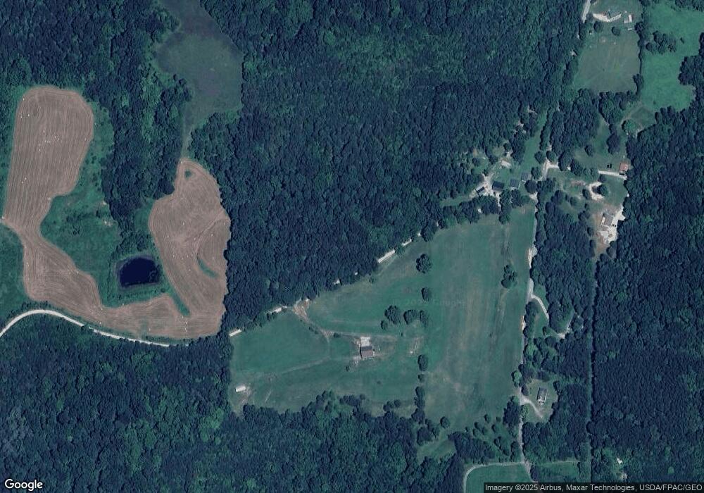
Map
Nearby Homes
- 31166 Edmundson Rd
- 27235 Price Rd
- 31661 Molehan Rd
- 0 Edmundson Rd Unit (Tract 2 at Big Timb
- 0 Edmundson Rd Unit 2429533
- 0 Edmundson Rd Unit 23607169
- 32045 Cabin
- 31275 Ohio 325
- 28033 Ohio 124
- 0 Hampton Hollow Rd Unit 26481336
- 0 Hampton Hollow Rd Unit (7 Acre Tract)
- 0 Hampton Hollow Rd Unit (2 Acre Tract)
- 0 Hampton Hollow Rd Unit 26481345
- 46400 Ohio 160
- 7710 Bull Run Rd
- 399 Wilder Rd
- 31428 Will Vance Rd
- 0 Keystone Rd Unit (Racoon Creek Cabin)
- 0 Keystone Rd Unit 25593981
- 1626 Wildwood Rd
- 2004 Rowlesville Rd
- 2254 Rowlesville Rd
- 1765 Rowlesville Rd
- 1345 Walters Rd
- 1345 Walters Rd
- 12517 Ohio 325
- 12517 State Route 325
- 1592 Rowlesville Rd
- 30552 State Route 325
- 30301 State Route 325
- 704 Keesee Rd
- 4453 Morgan Ln
- 1375 Rowlesville Rd
- 31376 Edmundson Rd
- 31226 Edmundson Rd
- 30627 Ohio 325
- 280 Walters Rd
- 100 Walters Rd
- 0 Keesee Rd Unit 1817733
- 0 Keesee Rd Unit 165990
Your Personal Tour Guide
Ask me questions while you tour the home.