2200 Hillside Dr Central Point, OR 97502
Estimated Value: $835,000 - $1,370,000
3
Beds
4
Baths
3,538
Sq Ft
$301/Sq Ft
Est. Value
About This Home
This home is located at 2200 Hillside Dr, Central Point, OR 97502 and is currently estimated at $1,066,579, approximately $301 per square foot. 2200 Hillside Dr is a home located in Jackson County with nearby schools including Jacksonville Elementary School, McLoughlin Middle School, and South Medford High School.
Ownership History
Date
Name
Owned For
Owner Type
Purchase Details
Closed on
Sep 14, 2021
Sold by
Barker Jackie B and Barker Nicolee S
Bought by
Barker Jackie B and Barker Nicolee S
Current Estimated Value
Purchase Details
Closed on
Oct 4, 2002
Sold by
Barker Jackie B and Barker Nicolee S
Bought by
Barker Jackie B and Barker Nicolee S
Create a Home Valuation Report for This Property
The Home Valuation Report is an in-depth analysis detailing your home's value as well as a comparison with similar homes in the area
Home Values in the Area
Average Home Value in this Area
Purchase History
| Date | Buyer | Sale Price | Title Company |
|---|---|---|---|
| Barker Jackie B | -- | None Available | |
| Barker Jackie B | -- | -- | |
| Barker Jackie B | -- | -- |
Source: Public Records
Tax History Compared to Growth
Tax History
| Year | Tax Paid | Tax Assessment Tax Assessment Total Assessment is a certain percentage of the fair market value that is determined by local assessors to be the total taxable value of land and additions on the property. | Land | Improvement |
|---|---|---|---|---|
| 2025 | $7,412 | $598,210 | $173,300 | $424,910 |
| 2024 | $7,412 | $580,790 | $217,500 | $363,290 |
| 2023 | $7,183 | $563,880 | $211,170 | $352,710 |
| 2022 | $7,013 | $563,880 | $211,170 | $352,710 |
| 2021 | $6,836 | $547,460 | $205,020 | $342,440 |
| 2020 | $6,674 | $531,520 | $199,050 | $332,470 |
| 2019 | $6,520 | $501,010 | $187,620 | $313,390 |
| 2018 | $6,356 | $486,420 | $182,160 | $304,260 |
| 2017 | $6,252 | $486,420 | $182,160 | $304,260 |
| 2016 | $6,133 | $458,510 | $171,700 | $286,810 |
| 2015 | $5,875 | $458,510 | $171,700 | $286,810 |
| 2014 | $5,788 | $432,200 | $161,840 | $270,360 |
Source: Public Records
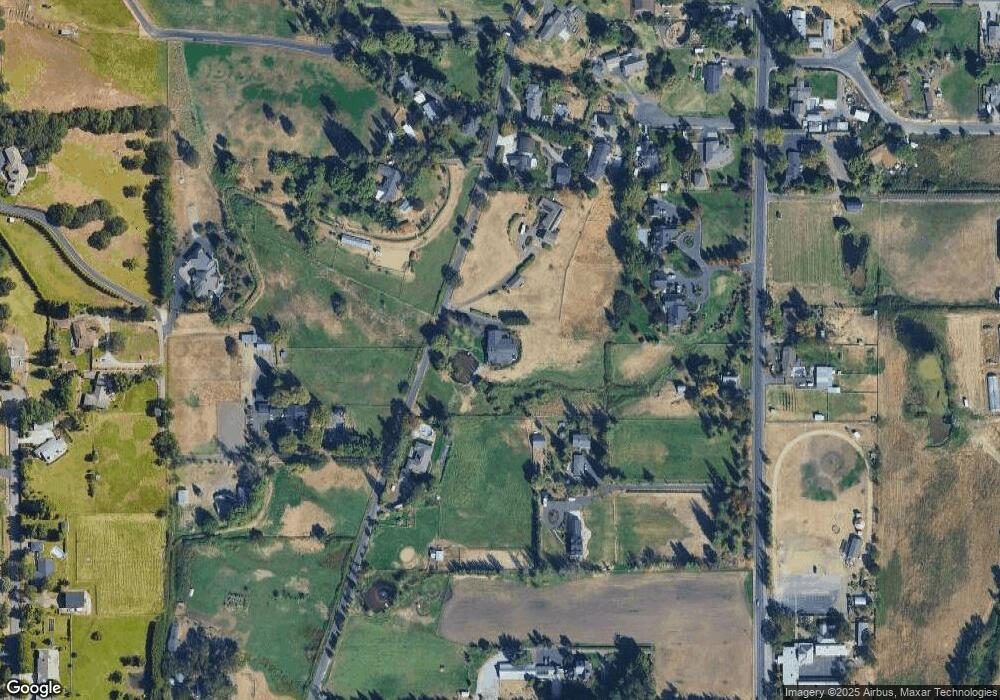
Map
Nearby Homes
- 1916 Old Military Rd
- 2555 Old Military Rd
- 2805 Old Military Rd
- 3220 Freeland Rd
- 3307 Freeland Rd
- 3506 New Ray Rd
- 3642 Oak Pine Way
- 659 Jackson Creek Dr
- 570 Bachand Cir
- 465 Creekside Cir
- 429 Mayberry Ln
- 487 Creekside Cir
- 4425 W Main St Unit 23
- 4425 W Main St Unit 31
- 187 Vashti Way
- 420 Mayberry Ln
- 25 Donna Way
- 0 Main St W Unit 220209697
- 895 Holley Way
- 21 Hickory Ln
- 2195 Old Stage Rd
- 2112 Hillside Dr
- 2214 Hillside Dr
- 2209 Old Stage Rd
- 2244 Hillside Dr
- 2211 Hillside Dr
- 2225 Old Stage Rd
- 3173 View Cir
- 2156 W Hillside Dr
- 2175 Old Stage Rd
- 2245 Hillside Dr
- 2276 Hillside Dr
- 3143 View Cir
- 2182 Old Stage Rd
- 2190 Old Stage Rd
- 3113 View Cir
- 2316 W Hillside Dr
- 2175 W Hillside Dr
- 3154 View Cir
- 2308 Hillside Dr