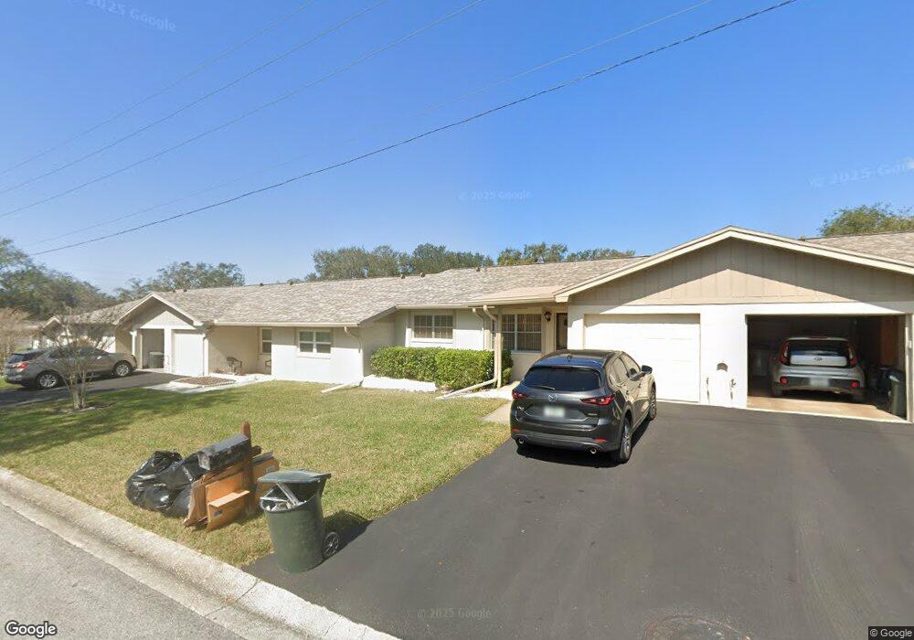
2200 Nimitz Dr Dunedin, FL 34698
Estimated Value: $185,000 - $206,351
2
Beds
1
Bath
1,040
Sq Ft
$185/Sq Ft
Est. Value
About This Home
This home is located at 2200 Nimitz Dr, Dunedin, FL 34698 and is currently estimated at $192,838, approximately $185 per square foot. 2200 Nimitz Dr is a home located in Pinellas County with nearby schools including Garrison-Jones Elementary School, Dunedin Highland Middle School, and Dunedin High School.
Ownership History
Date
Name
Owned For
Owner Type
Purchase Details
Closed on
Sep 30, 2024
Sold by
Parker Howard Edward and Parker Joseph George
Bought by
Cramer Duane G
Current Estimated Value
Home Financials for this Owner
Home Financials are based on the most recent Mortgage that was taken out on this home.
Original Mortgage
$171,000
Outstanding Balance
$168,694
Interest Rate
6.35%
Mortgage Type
New Conventional
Estimated Equity
$24,144
Purchase Details
Closed on
Feb 1, 2017
Bought by
Parker Jean E
Create a Home Valuation Report for This Property
The Home Valuation Report is an in-depth analysis detailing your home's value as well as a comparison with similar homes in the area
Home Values in the Area
Average Home Value in this Area
Purchase History
| Date | Buyer | Sale Price | Title Company |
|---|---|---|---|
| Cramer Duane G | $228,000 | First American Title Insurance | |
| Parker Jean E | $100 | -- |
Source: Public Records
Mortgage History
| Date | Status | Borrower | Loan Amount |
|---|---|---|---|
| Open | Cramer Duane G | $171,000 |
Source: Public Records
Tax History Compared to Growth
Tax History
| Year | Tax Paid | Tax Assessment Tax Assessment Total Assessment is a certain percentage of the fair market value that is determined by local assessors to be the total taxable value of land and additions on the property. | Land | Improvement |
|---|---|---|---|---|
| 2025 | $359 | $184,656 | -- | $184,656 |
| 2024 | $356 | $66,788 | -- | -- |
| 2023 | $356 | $64,843 | $0 | $0 |
| 2022 | $408 | $62,954 | $0 | $0 |
| 2021 | $422 | $61,120 | $0 | $0 |
| 2020 | $425 | $60,276 | $0 | $0 |
| 2019 | $421 | $58,921 | $0 | $0 |
| 2018 | $419 | $57,822 | $0 | $0 |
| 2017 | $420 | $56,633 | $0 | $0 |
| 2016 | $421 | $55,468 | $0 | $0 |
| 2015 | $432 | $55,082 | $0 | $0 |
| 2014 | $431 | $54,645 | $0 | $0 |
Source: Public Records
Map
Nearby Homes
- 30 Sophie Ave Unit 30
- 17 Sophie Ave
- 66 Lone Pine Ave
- 65 Lone Pine Ave
- 1844 Teakwood Ln
- 1556 Lynda Ln
- 1450 Heather Ridge Blvd Unit 307
- 6 Sophie Ave
- 106 Diogenes St Unit 106
- 110 Diogenes St Unit 110
- 80 John F. Kennedy St Unit 80
- 1127 King Arthur Ct Unit 308
- 115 Diogenes St Unit 115
- 1421 Heather Ridge Blvd
- 1417 Heather Ridge Blvd
- 2188 Elm St Unit 1107
- 2119 Elm St Unit 103
- 2178 Elm St Unit 1007
- 2139 Elm St Unit 308
- 2170 Elm St Unit 906
- 2190 Nimitz Dr Unit 2190
- 2187 Marshall Dr
- 2190 Nimitz Dr
- 2210 Nimitz Dr
- 2201 Marshall Dr Unit 2201
- 2201 Marshall Dr
- 2188 Nimitz Dr
- 2194 Nimitz Dr
- 2197 Marshall Dr
- 2188 Nimitz Dr Unit 2188
- 2194 Nimitz Dr Unit 2194
- 1547 Patton Dr Unit 1547
- 1551 Patton Dr
- 2201 Nimitz Dr Unit 2201
- 2191 Marshall Dr
- 2207 Nimitz Dr Unit 2207
- 2197 Nimitz Dr Unit 2197
- 2191 Nimitz Dr Unit 2191
- 2191 Nimitz Dr
- 2230 Marshall Dr Unit 2230