Estimated Value: $122,000 - $181,000
4
Beds
2
Baths
1,408
Sq Ft
$107/Sq Ft
Est. Value
About This Home
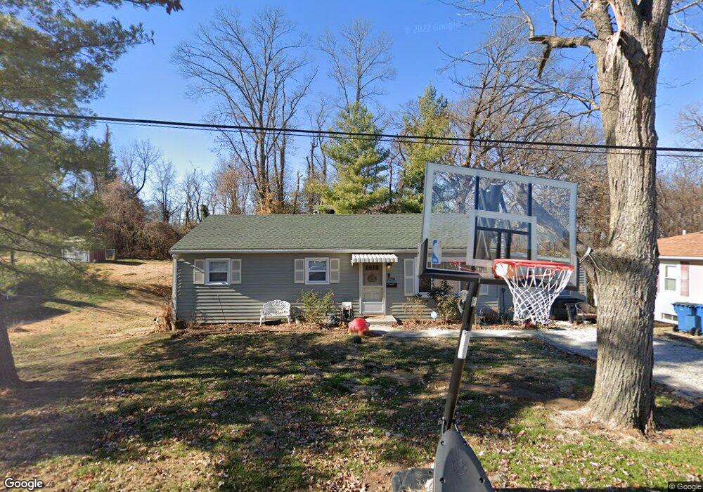
This home is located at 2200 Norside Dr, Alton, IL 62002 and is currently estimated at $150,840, approximately $107 per square foot. 2200 Norside Dr is a home located in Madison County with nearby schools including West Elementary School, Alton Middle School, and Alton High School.
Ownership History
Date
Name
Owned For
Owner Type
Purchase Details
Closed on
Jul 15, 2019
Sold by
Browing Tayler G and Browing Rose M
Bought by
Stepp Aaron B and Stepp Trista B
Current Estimated Value
Home Financials for this Owner
Home Financials are based on the most recent Mortgage that was taken out on this home.
Original Mortgage
$67,027
Outstanding Balance
$59,515
Interest Rate
4.5%
Mortgage Type
FHA
Estimated Equity
$91,325
Purchase Details
Closed on
Feb 5, 2019
Sold by
Jenkins Janet E and Jenkins Edward S
Bought by
Browning Tyler G and Browning Rose M
Create a Home Valuation Report for This Property
The Home Valuation Report is an in-depth analysis detailing your home's value as well as a comparison with similar homes in the area
Home Values in the Area
Average Home Value in this Area
Purchase History
| Date | Buyer | Sale Price | Title Company |
|---|---|---|---|
| Stepp Aaron B | $77,500 | Community Title | |
| Browning Tyler G | $11,000 | Community Title & Escrow |
Source: Public Records
Mortgage History
| Date | Status | Borrower | Loan Amount |
|---|---|---|---|
| Open | Stepp Aaron B | $67,027 |
Source: Public Records
Tax History Compared to Growth
Tax History
| Year | Tax Paid | Tax Assessment Tax Assessment Total Assessment is a certain percentage of the fair market value that is determined by local assessors to be the total taxable value of land and additions on the property. | Land | Improvement |
|---|---|---|---|---|
| 2024 | $1,921 | $29,630 | $3,930 | $25,700 |
| 2023 | $1,921 | $26,760 | $3,550 | $23,210 |
| 2022 | $1,756 | $24,190 | $3,210 | $20,980 |
| 2021 | $1,534 | $22,740 | $3,020 | $19,720 |
| 2020 | $1,478 | $21,930 | $2,910 | $19,020 |
| 2019 | $1,515 | $21,430 | $2,840 | $18,590 |
| 2018 | $518 | $20,880 | $2,770 | $18,110 |
| 2017 | $956 | $20,880 | $2,770 | $18,110 |
| 2016 | $499 | $20,880 | $2,770 | $18,110 |
| 2015 | $461 | $20,880 | $2,770 | $18,110 |
| 2014 | $461 | $20,880 | $2,770 | $18,110 |
| 2013 | $461 | $21,440 | $2,840 | $18,600 |
Source: Public Records
Map
Nearby Homes
- 2237 Norside Dr
- 905 Northdale Dr
- 2201 State St
- 809 Logan St
- 600 Miller St
- 607 Miller St
- 2202 Holland St
- 840 Mcpherson Ave
- 400 Emerald Ave
- 3302 Belle St
- 1839 Ervay Ave
- 2215 Tibbitt St
- 645 Elfgen St
- 415 Mather St
- 2602 Rutledge St
- 1121 Danforth St
- 2609 Mariana Dr
- 25 Logan Rd
- 1300 Woodcliffe Dr
- 0 Godfrey Rd Unit MIS25058558
- 2202 Norside Dr
- 2140 Norside Dr
- 2204 Norside Dr
- 2201 Norside Dr
- 2136 Norside Dr
- 2203 Norside Dr
- 2205 Norside Dr
- 2206 Norside Dr
- 2141 Norside Dr
- 2132 Norside Dr
- 2137 Norside Dr
- 2207 Norside Dr
- 2200 Marquette Dr
- 2128 Norside Dr
- 2204 Marquette Dr
- 2133 Norside Dr
- 2208 Norside Dr
- 2221 Norside Dr
- 2136 Marquette Dr
- 2208 Marquette Dr